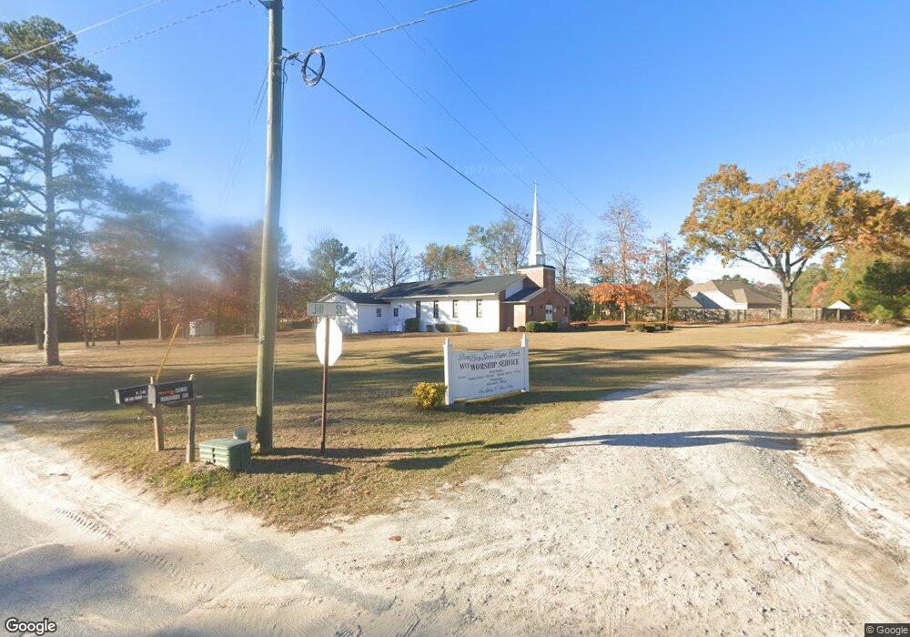
4519 Jessie Rd Augusta, GA 30907
Estimated Value: $496,000
--
Bed
2
Baths
5,152
Sq Ft
$96/Sq Ft
Est. Value
About This Home
This home is located at 4519 Jessie Rd, Augusta, GA 30907 and is currently priced at $496,000, approximately $96 per square foot. 4519 Jessie Rd is a home located in Columbia County with nearby schools including Brookwood Elementary School, Columbia Middle School, and Evans High School.
Ownership History
Date
Name
Owned For
Owner Type
Purchase Details
Closed on
Mar 13, 2024
Sold by
Church Piney Grove Baptist Church
Bought by
Church Piney Grove Missionary Baptist Ch and Piney Grove Missionary Baptist Church Ma
Current Estimated Value
Home Financials for this Owner
Home Financials are based on the most recent Mortgage that was taken out on this home.
Original Mortgage
$68,631
Outstanding Balance
$63,983
Interest Rate
6.12%
Mortgage Type
New Conventional
Create a Home Valuation Report for This Property
The Home Valuation Report is an in-depth analysis detailing your home's value as well as a comparison with similar homes in the area
Home Values in the Area
Average Home Value in this Area
Purchase History
| Date | Buyer | Sale Price | Title Company |
|---|---|---|---|
| Church Piney Grove Missionary Baptist Ch | -- | -- |
Source: Public Records
Mortgage History
| Date | Status | Borrower | Loan Amount |
|---|---|---|---|
| Open | Church Piney Grove Missionary Baptist Ch | $68,631 |
Source: Public Records
Tax History Compared to Growth
Tax History
| Year | Tax Paid | Tax Assessment Tax Assessment Total Assessment is a certain percentage of the fair market value that is determined by local assessors to be the total taxable value of land and additions on the property. | Land | Improvement |
|---|---|---|---|---|
| 2025 | $60 | $134,034 | $35,902 | $98,132 |
| 2024 | $60 | $131,625 | $35,902 | $95,723 |
| 2023 | $60 | $129,999 | $35,902 | $94,097 |
| 2022 | $60 | $118,402 | $29,192 | $89,210 |
| 2021 | $60 | $127,057 | $29,192 | $97,865 |
| 2020 | $60 | $116,058 | $29,192 | $86,866 |
| 2019 | $60 | $75,144 | $29,192 | $45,952 |
| 2018 | $60 | $71,634 | $29,192 | $42,442 |
| 2017 | $60 | $58,001 | $29,192 | $28,809 |
| 2016 | $60 | $59,146 | $29,168 | $29,978 |
| 2015 | $60 | $61,742 | $29,168 | $32,574 |
| 2014 | $60 | $62,072 | $29,168 | $32,904 |
Source: Public Records
Map
Nearby Homes
- 606 Todd Rd
- 1447 Collins Dr
- 349 Westmont Dr
- 302 Laurel Place
- 603 Laurel Place
- 2906 Palmetto Dr
- 4507 Colonial Rd
- 221 Biltmore Dr
- 120 Ginkgo Ln
- 239 Cavalier Ct
- 230 Palmetto Dr
- 4572 Colonial Rd
- 167 S Old Belair Rd
- 373 Forest Ct
- 4593 Millhaven Rd
- 354 Rice Ct
- 361 Paces Ferry Rd
- 4373 Quail Creek Rd
- 4505 Oakley Pirkle Rd
- 4366 Quail Creek Rd