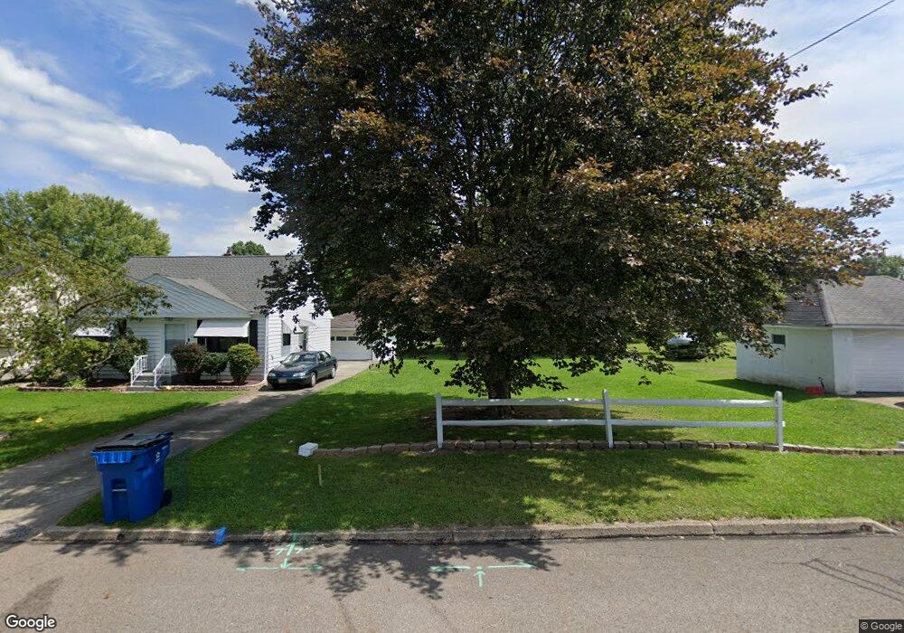
452 10th St Struthers, OH 44471
Estimated Value: $79,000 - $203,000
2
Beds
1
Bath
1,053
Sq Ft
$147/Sq Ft
Est. Value
About This Home
This home is located at 452 10th St, Struthers, OH 44471 and is currently estimated at $155,000, approximately $147 per square foot. 452 10th St is a home located in Mahoning County with nearby schools including Struthers Elementary School, Struthers Middle School, and Struthers High School.
Ownership History
Date
Name
Owned For
Owner Type
Purchase Details
Closed on
Nov 22, 2022
Sold by
Mahoning County Land Reutilization Corpo
Bought by
Burnside Jon
Current Estimated Value
Purchase Details
Closed on
May 30, 2017
Sold by
Meacham Ralph T
Bought by
Mahoning County Land Reutilization Corpo
Purchase Details
Closed on
Apr 3, 2001
Sold by
Farrant Linda
Bought by
Hamrock Natalie M
Home Financials for this Owner
Home Financials are based on the most recent Mortgage that was taken out on this home.
Original Mortgage
$12,140
Interest Rate
7.05%
Mortgage Type
Purchase Money Mortgage
Purchase Details
Closed on
Aug 12, 1992
Bought by
Hamrock Natalie M
Create a Home Valuation Report for This Property
The Home Valuation Report is an in-depth analysis detailing your home's value as well as a comparison with similar homes in the area
Home Values in the Area
Average Home Value in this Area
Purchase History
| Date | Buyer | Sale Price | Title Company |
|---|---|---|---|
| Burnside Jon | -- | None Listed On Document | |
| Burnside Jon | -- | None Listed On Document | |
| Mahoning County Land Reutilization Corpo | -- | None Available | |
| Hamrock Natalie M | -- | Grove Title & Escrow Agency | |
| Hamrock Natalie M | -- | -- |
Source: Public Records
Mortgage History
| Date | Status | Borrower | Loan Amount |
|---|---|---|---|
| Previous Owner | Hamrock Natalie M | $12,140 |
Source: Public Records
Tax History
| Year | Tax Paid | Tax Assessment Tax Assessment Total Assessment is a certain percentage of the fair market value that is determined by local assessors to be the total taxable value of land and additions on the property. | Land | Improvement |
|---|---|---|---|---|
| 2025 | $68 | $1,610 | $1,610 | -- |
| 2024 | $68 | $1,610 | $1,610 | -- |
| 2023 | $67 | $1,610 | $1,610 | $0 |
| 2022 | $0 | $1,650 | $1,650 | $0 |
| 2021 | $3 | $1,650 | $1,650 | $0 |
| 2020 | $3 | $1,650 | $1,650 | $0 |
| 2019 | $6 | $1,430 | $1,430 | $0 |
| 2018 | $6 | $1,430 | $1,430 | $0 |
| 2017 | $403 | $9,140 | $2,860 | $6,280 |
| 2016 | $1,057 | $15,520 | $3,570 | $11,950 |
| 2015 | $878 | $15,520 | $3,570 | $11,950 |
| 2014 | $1,339 | $15,520 | $3,570 | $11,950 |
| 2013 | $1,380 | $15,520 | $3,570 | $11,950 |
Source: Public Records
Map
Nearby Homes
- 442 10th St
- 414 10th St
- 417 9th St
- 541 Lincoln St
- 447 8th St
- 0 Crescent Dr Unit 5124984
- 610 Elm St
- 464 Elm St
- 3516 Champlain Ave
- 2003 E Midlothian Blvd
- 457 Sexton St
- 2025 Pointview Ave
- 1970 Weston Ave
- 2001 Brownlee Ave
- 2016 Pointview Ave
- 3563 Valerie Dr
- 3621 Neilson Ave
- 1925 Weston Ave
- 1962 Bancroft Ave
- 0 Weston Ave
Your Personal Tour Guide
Ask me questions while you tour the home.