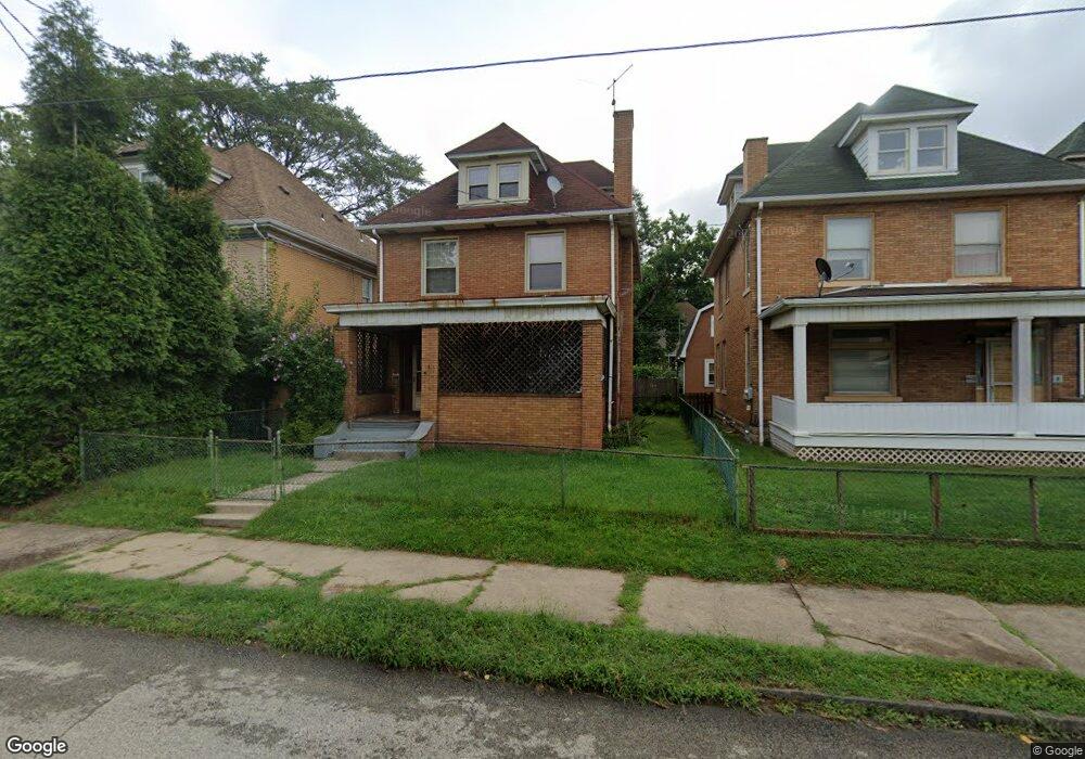
452 4th Ave New Kensington, PA 15068
Estimated Value: $60,585 - $81,000
--
Bed
--
Bath
--
Sq Ft
4,574
Sq Ft Lot
About This Home
This home is located at 452 4th Ave, New Kensington, PA 15068 and is currently estimated at $70,146. 452 4th Ave is a home located in Westmoreland County with nearby schools including Mary Queen of Apostles School.
Ownership History
Date
Name
Owned For
Owner Type
Purchase Details
Closed on
Oct 27, 2005
Sold by
Laurel Savings Bank
Bought by
Freeman Joseph
Current Estimated Value
Home Financials for this Owner
Home Financials are based on the most recent Mortgage that was taken out on this home.
Original Mortgage
$37,900
Outstanding Balance
$24,598
Interest Rate
9.25%
Mortgage Type
Fannie Mae Freddie Mac
Estimated Equity
$45,548
Purchase Details
Closed on
Dec 8, 2004
Sold by
Vogt Robert Scott and Vogt Timothy R
Bought by
Laurel Savings Bank
Create a Home Valuation Report for This Property
The Home Valuation Report is an in-depth analysis detailing your home's value as well as a comparison with similar homes in the area
Home Values in the Area
Average Home Value in this Area
Purchase History
| Date | Buyer | Sale Price | Title Company |
|---|---|---|---|
| Freeman Joseph | $39,900 | -- | |
| Laurel Savings Bank | $5,918 | -- |
Source: Public Records
Mortgage History
| Date | Status | Borrower | Loan Amount |
|---|---|---|---|
| Open | Freeman Joseph | $37,900 |
Source: Public Records
Tax History Compared to Growth
Tax History
| Year | Tax Paid | Tax Assessment Tax Assessment Total Assessment is a certain percentage of the fair market value that is determined by local assessors to be the total taxable value of land and additions on the property. | Land | Improvement |
|---|---|---|---|---|
| 2025 | $1,737 | $10,880 | $2,280 | $8,600 |
| 2024 | $1,721 | $10,880 | $2,280 | $8,600 |
| 2023 | $1,628 | $10,880 | $2,280 | $8,600 |
| 2022 | $1,579 | $10,880 | $2,280 | $8,600 |
| 2021 | $1,543 | $10,880 | $2,280 | $8,600 |
| 2020 | $1,510 | $10,880 | $2,280 | $8,600 |
| 2019 | $1,472 | $10,880 | $2,280 | $8,600 |
| 2018 | $1,450 | $10,880 | $2,280 | $8,600 |
| 2017 | $1,428 | $10,880 | $2,280 | $8,600 |
| 2016 | $1,428 | $10,880 | $2,280 | $8,600 |
| 2015 | $1,428 | $10,880 | $2,280 | $8,600 |
| 2014 | $1,373 | $10,880 | $2,280 | $8,600 |
Source: Public Records
Map
Nearby Homes
- 445 5th Ave
- 512 Linden Ave
- 331-337 4th Ave
- 546 3rd Ave Unit 548
- 324 Main St
- 301 5th Ave
- 215 5th Ave
- 404 Argonne Dr
- 357 Keystone Dr
- 359 Pershing Dr
- 159 Freeport Rd
- 168 Short St
- 254 Ridge Ave
- 342 Vernon St
- 1725 Pleasant Ave
- 486 McCargo St
- Lots 12-14 Ross Ave
- 1025 Kenneth Ave
- 318 Ridge Ave
- 327 Charles Ave