452 Anders Rd Tazewell, TN 37879
Estimated Value: $243,267 - $330,000
About This Home
This home is located at 452 Anders Rd, Tazewell, TN 37879 and is currently estimated at $295,089, approximately $202 per square foot. 452 Anders Rd is a home located in Claiborne County.
Ownership History
We collect this data history from publicly available records. To have your information removed, we recommend requesting removal directly through your county’s website.
Purchase Details
Home Financials for this Owner
Home Financials are based on the most recent Mortgage that was taken out on this home.Purchase Details
Home Financials for this Owner
Home Financials are based on the most recent Mortgage that was taken out on this home.Purchase Details
Purchase Details
Purchase Details
Home Values in the Area
Average Home Value in this Area
Purchase History
We collect this data history from publicly available records. To have your information removed, we recommend requesting removal directly through your county’s website.
| Date | Buyer | Sale Price | Title Company |
|---|---|---|---|
| $140,000 | -- | ||
| $140,000 | -- | ||
| $2,000 | -- | ||
| $12,500 | -- | ||
| -- | -- |
Mortgage History
We collect this data history from publicly available records. To have your information removed, we recommend requesting removal directly through your county’s website.
| Date | Status | Borrower | Loan Amount |
|---|---|---|---|
| Closed | $76,782 | ||
| Closed | $76,782 |
Tax History
We collect this data history from publicly available records. To have your information removed, we recommend requesting removal directly through your county’s website.
| Year | Tax Paid | Tax Assessment Tax Assessment Total Assessment is a certain percentage of the fair market value that is determined by local assessors to be the total taxable value of land and additions on the property. | Land | Improvement |
|---|---|---|---|---|
| 2025 | $758 | $32,375 | $9,250 | $23,125 |
| 2024 | $758 | $32,375 | $9,250 | $23,125 |
| 2023 | $758 | $32,375 | $9,250 | $23,125 |
| 2022 | $648 | $32,375 | $9,250 | $23,125 |
| 2021 | $567 | $22,000 | $7,575 | $14,425 |
| 2020 | $567 | $22,000 | $7,575 | $14,425 |
| 2019 | $567 | $22,000 | $7,575 | $14,425 |
| 2018 | $567 | $22,000 | $7,575 | $14,425 |
| 2017 | $567 | $22,000 | $7,575 | $14,425 |
| 2016 | $638 | $24,725 | $7,950 | $16,775 |
| 2015 | $531 | $21,425 | $7,950 | $13,475 |
| 2014 | $531 | $21,438 | $0 | $0 |
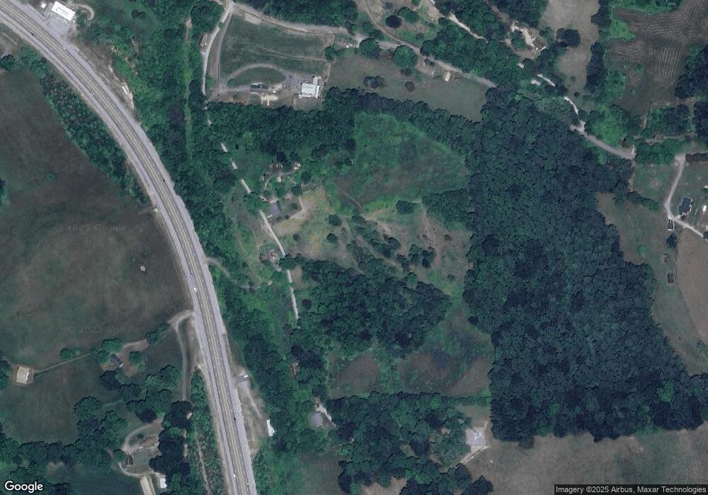
Map
- 450 Buffalo Ln
- 130 Day Cir
- 158 Whitaker Dr
- 160 Dogwood Heights Dr
- 175 Norris Dr
- 590 Cave Springs Rd
- 0 Hill Crest Dr
- 0 Highway 25 Hwy E Unit 1313870
- 0 Old Cave Springs Rd
- 107 Henley St
- 141 Henley St
- 117 Henley St
- 127 Henley St
- 1557 Cave Springs Rd
- 4703 Highway 25e Unit 1&2
- 4703 Highway 25e
- 393 Holt Ridge Rd
- TBD Highway 25 E
- 73.87ac Mill Hollow Rd
- 174 Tasha Ln
- 727 Old Mulberry Rd
- 767 Old Mulberry Rd
- 3662 Highway 25e
- 531 Anders Rd
- 729 Old Mulberry Rd
- 365 Anders Rd
- 3512 Highway 25e
- 3512 Highway 25e
- 3561 Highway 25e
- 0 Us 25e Unit 442944
- 0 Us 25e Unit 443734
- 0 Us 25e Unit 774769
- 3539 Highway 25e
- 746 Old Mulberry Rd
- 3700 Highway 25e
- 149 Kersey Ln
- 0 Anders Rd
- 123 Kersey Ln
- 150 Kersey Ln
- 154 Pc Carroll Ln
Ask me questions while you tour the home.