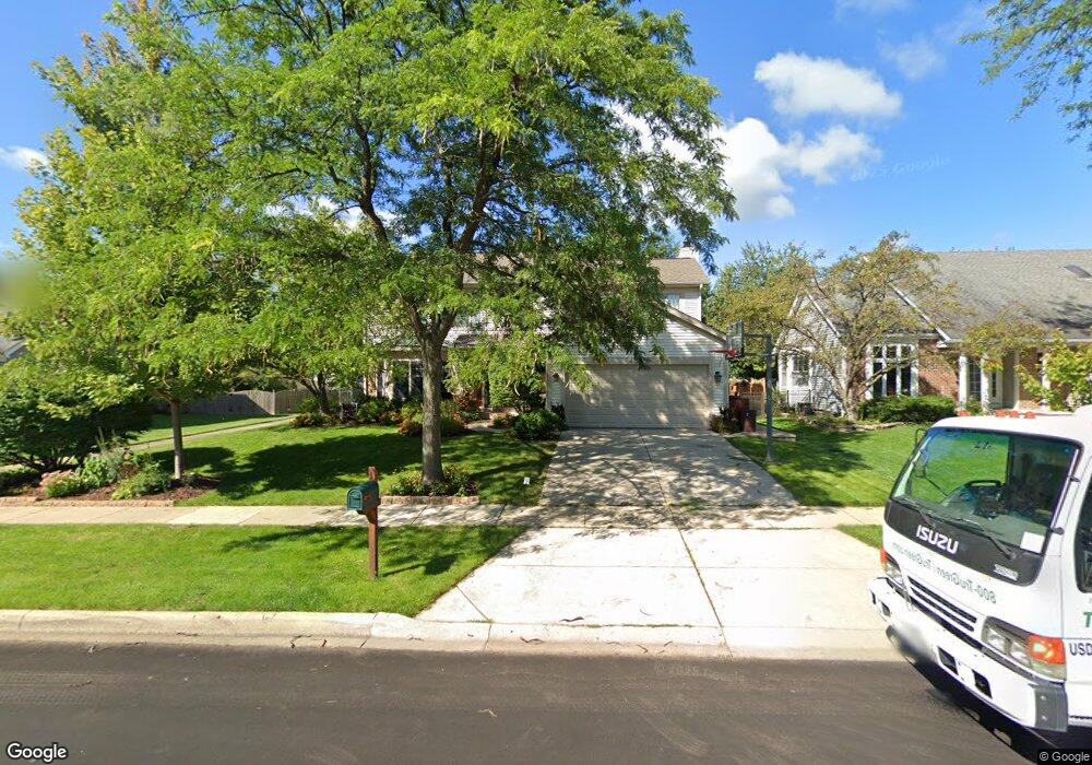
452 Bristol Dr Carol Stream, IL 60188
Estimated Value: $474,000 - $497,000
4
Beds
3
Baths
2,081
Sq Ft
$233/Sq Ft
Est. Value
About This Home
This home is located at 452 Bristol Dr, Carol Stream, IL 60188 and is currently estimated at $485,682, approximately $233 per square foot. 452 Bristol Dr is a home located in DuPage County with nearby schools including Roy De Shane Elementary School, Stratford Middle School, and Glenbard North High School.
Ownership History
Date
Name
Owned For
Owner Type
Purchase Details
Closed on
Jul 25, 2003
Sold by
Garnett Grant and Garnett Anne M
Bought by
Stone Scott W and Geever Stone Janice M
Current Estimated Value
Home Financials for this Owner
Home Financials are based on the most recent Mortgage that was taken out on this home.
Original Mortgage
$210,000
Outstanding Balance
$89,551
Interest Rate
5.3%
Mortgage Type
Purchase Money Mortgage
Estimated Equity
$396,131
Create a Home Valuation Report for This Property
The Home Valuation Report is an in-depth analysis detailing your home's value as well as a comparison with similar homes in the area
Home Values in the Area
Average Home Value in this Area
Purchase History
| Date | Buyer | Sale Price | Title Company |
|---|---|---|---|
| Stone Scott W | $307,000 | Midwest Title Services Llc |
Source: Public Records
Mortgage History
| Date | Status | Borrower | Loan Amount |
|---|---|---|---|
| Open | Stone Scott W | $210,000 |
Source: Public Records
Tax History
| Year | Tax Paid | Tax Assessment Tax Assessment Total Assessment is a certain percentage of the fair market value that is determined by local assessors to be the total taxable value of land and additions on the property. | Land | Improvement |
|---|---|---|---|---|
| 2024 | $12,163 | $149,777 | $32,357 | $117,420 |
| 2023 | $11,523 | $136,970 | $29,590 | $107,380 |
| 2022 | $10,700 | $121,990 | $29,400 | $92,590 |
| 2021 | $10,932 | $123,690 | $27,930 | $95,760 |
| 2020 | $10,757 | $120,670 | $27,250 | $93,420 |
| 2019 | $10,354 | $115,960 | $26,190 | $89,770 |
| 2018 | $10,464 | $118,640 | $25,510 | $93,130 |
| 2017 | $9,907 | $109,960 | $23,640 | $86,320 |
| 2016 | $9,396 | $101,770 | $21,880 | $79,890 |
| 2015 | $8,959 | $94,970 | $20,420 | $74,550 |
| 2014 | $8,243 | $86,380 | $18,570 | $67,810 |
| 2013 | $8,285 | $89,340 | $19,210 | $70,130 |
Source: Public Records
Map
Nearby Homes
- 761 Colorado Ct Unit 2241
- 766 Colorado Ct Unit 2293
- 734 Colorado Ct Unit 734
- 454 Esselen Ct Unit 2
- 553 Alton Ct Unit 2113
- 514 Alton Ct Unit 2
- 545 Alton Ct Unit 273
- 517 Danbury Dr
- 648 Thunderbird Trail
- 27W270 Jefferson St
- 27W046 North Ave
- 403 Arrowhead Trail
- 770 Birchbark Trail
- 848 Birchbark Trail
- 880 Hampton Dr
- 1116 Evergreen Dr
- 1N053 Lot 1 Farwell St
- 1N063 LOT 2 Farwell St
- 1N083 LOT 4 Farwell St
- 1043 Quarry Ct Unit 11
- 456 Bristol Dr
- 442 Bristol Dr
- 462 Bristol Dr
- 733 Colorado Ct
- 735 Colorado Ct Unit 2263
- 739 Colorado Ct Unit 2261
- 430 Chadsford Ct
- 728 Colorado Ct Unit 2271
- 737 Colorado Ct Unit 2262
- 436 Bristol Dr
- 445 Bristol Dr
- 449 Bristol Dr
- 468 Bristol Dr
- 453 Bristol Dr
- 726 Colorado Ct
- 428 Chadsford Ct
- 722 Colorado Ct
- 437 Bristol Dr
- 459 Bristol Dr
- 429 Chadsford Ct
Your Personal Tour Guide
Ask me questions while you tour the home.