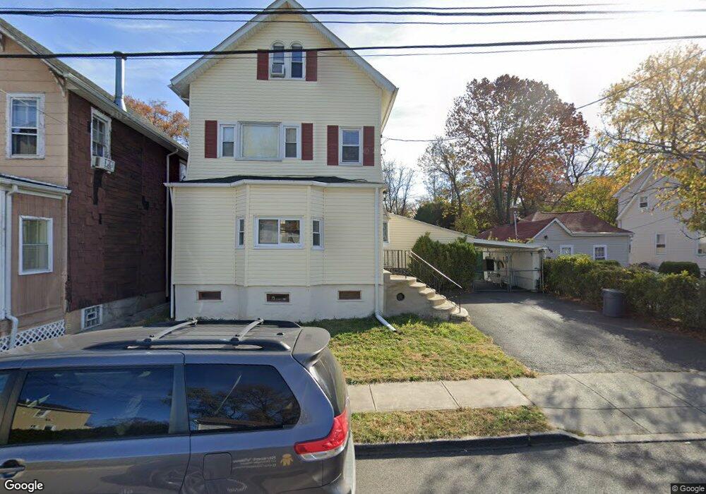
452 Burnside St Orange, NJ 07050
Estimated Value: $502,000 - $671,000
--
Bed
--
Bath
2,003
Sq Ft
$289/Sq Ft
Est. Value
About This Home
This home is located at 452 Burnside St, Orange, NJ 07050 and is currently estimated at $577,976, approximately $288 per square foot. 452 Burnside St is a home located in Essex County with nearby schools including East Orange Community Charter School and Mount Carmel Guild Academy.
Ownership History
Date
Name
Owned For
Owner Type
Purchase Details
Closed on
Sep 30, 2005
Sold by
Niles Sharon
Bought by
Salazar Ricardo
Current Estimated Value
Home Financials for this Owner
Home Financials are based on the most recent Mortgage that was taken out on this home.
Original Mortgage
$242,250
Outstanding Balance
$129,336
Interest Rate
5.72%
Mortgage Type
New Conventional
Estimated Equity
$448,640
Create a Home Valuation Report for This Property
The Home Valuation Report is an in-depth analysis detailing your home's value as well as a comparison with similar homes in the area
Home Values in the Area
Average Home Value in this Area
Purchase History
| Date | Buyer | Sale Price | Title Company |
|---|---|---|---|
| Salazar Ricardo | $255,000 | -- |
Source: Public Records
Mortgage History
| Date | Status | Borrower | Loan Amount |
|---|---|---|---|
| Open | Salazar Ricardo | $242,250 |
Source: Public Records
Tax History Compared to Growth
Tax History
| Year | Tax Paid | Tax Assessment Tax Assessment Total Assessment is a certain percentage of the fair market value that is determined by local assessors to be the total taxable value of land and additions on the property. | Land | Improvement |
|---|---|---|---|---|
| 2025 | $13,290 | $356,600 | $116,500 | $240,100 |
| 2024 | $13,290 | $356,600 | $116,500 | $240,100 |
| 2022 | $12,360 | $356,600 | $116,500 | $240,100 |
| 2021 | $12,022 | $208,000 | $52,500 | $155,500 |
| 2020 | $11,663 | $208,000 | $52,500 | $155,500 |
| 2019 | $11,055 | $208,000 | $52,500 | $155,500 |
| 2018 | $10,878 | $208,000 | $52,500 | $155,500 |
| 2017 | $10,130 | $208,000 | $52,500 | $155,500 |
| 2016 | $9,938 | $208,000 | $52,500 | $155,500 |
| 2015 | $9,678 | $208,000 | $52,500 | $155,500 |
| 2014 | $9,254 | $208,000 | $52,500 | $155,500 |
Source: Public Records
Map
Nearby Homes
- 190 Watchung Ave
- 379 High St
- 380 Berryman Place
- 348 Cleveland St
- 48 Liberty St
- 62 Liberty St Unit 64
- 52 Columbia St
- 76 Long St
- 74 Long St Unit 76
- 107 High St
- 293 N Center St
- 289 N Center St
- 294 N Park St
- 294 N Park St Unit 2
- 257 Mount Vernon Ave
- 17 Cottage Place
- 36 William St
- 132 Franklin Ave
- 627 Thomas Blvd
- 6 Prospect Place
- 456 Burnside St
- 458 Burnside St
- 448 Burnside St
- 462 Burnside St
- 438 Burnside St
- 466 Burnside St
- 459 Burnside St
- 457 Burnside St
- 470 Burnside St
- 434 Burnside St
- 445 Burnside St
- 451 Burnside St
- 463 Burnside St
- 432 Burnside St
- 465 Burnside St
- 476 Burnside St
- 469 Burnside St
- 437 Burnside St
- 443 Burnside St
- 443 Burnside St Unit 2