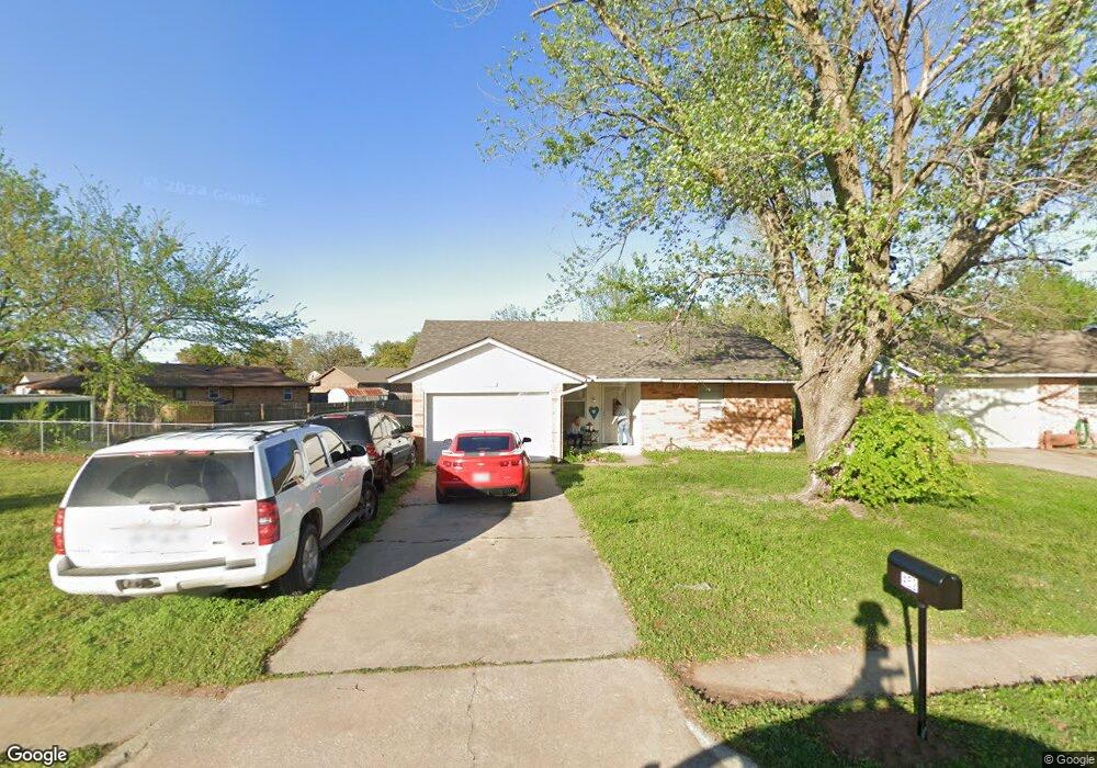
452 Crooked Oak Dr Harrah, OK 73045
Estimated Value: $140,862 - $155,000
3
Beds
2
Baths
971
Sq Ft
$154/Sq Ft
Est. Value
About This Home
This home is located at 452 Crooked Oak Dr, Harrah, OK 73045 and is currently estimated at $149,216, approximately $153 per square foot. 452 Crooked Oak Dr is a home located in Oklahoma County with nearby schools including Virginia Smith Elementary School, Clara Reynolds Elementary School, and Russell Babb Elementary School.
Ownership History
Date
Name
Owned For
Owner Type
Purchase Details
Closed on
Jul 16, 2012
Sold by
Secretary Of Hud Of Washington Dc
Bought by
Aduddell Marian T and Cavrich Kristi
Current Estimated Value
Purchase Details
Closed on
Feb 14, 2012
Sold by
Wyman Anthony and Us Bank National Association
Bought by
Secretary Of Housing & Urban Development
Purchase Details
Closed on
Apr 9, 2004
Sold by
Beene Billy D and Beene Sherii Kay
Bought by
Wyman Anthony
Purchase Details
Closed on
Nov 26, 2001
Sold by
Wilson Ida M
Bought by
Beene Billy D
Create a Home Valuation Report for This Property
The Home Valuation Report is an in-depth analysis detailing your home's value as well as a comparison with similar homes in the area
Home Values in the Area
Average Home Value in this Area
Purchase History
| Date | Buyer | Sale Price | Title Company |
|---|---|---|---|
| Aduddell Marian T | -- | First American Title | |
| Secretary Of Housing & Urban Development | -- | First American Title | |
| Wyman Anthony | $64,500 | First American Title & Tr Co | |
| Beene Billy D | $47,500 | Capitol Abstract & Title Co |
Source: Public Records
Tax History Compared to Growth
Tax History
| Year | Tax Paid | Tax Assessment Tax Assessment Total Assessment is a certain percentage of the fair market value that is determined by local assessors to be the total taxable value of land and additions on the property. | Land | Improvement |
|---|---|---|---|---|
| 2024 | $1,103 | $11,832 | $1,103 | $10,729 |
| 2023 | $1,103 | $11,268 | $1,153 | $10,115 |
| 2022 | $1,068 | $10,732 | $1,184 | $9,548 |
| 2021 | $1,017 | $10,221 | $1,291 | $8,930 |
| 2020 | $995 | $9,735 | $1,354 | $8,381 |
| 2019 | $961 | $9,413 | $1,324 | $8,089 |
| 2018 | $931 | $8,965 | $0 | $0 |
| 2017 | $902 | $8,854 | $1,218 | $7,636 |
| 2016 | $882 | $8,504 | $1,208 | $7,296 |
| 2015 | $832 | $8,098 | $1,218 | $6,880 |
| 2014 | $814 | $7,950 | $1,218 | $6,732 |
Source: Public Records
Map
Nearby Homes
- 465 Echo Ln
- 410 Harvest Hills
- 20435 Palmer Rd
- 279 Woodlands Dr
- 318 Park Ln
- 20111 Park Ln
- 160 Hickory Stick Ln
- 134 Echo Ln
- 20100 Park Ln
- 310 Woodrock St
- 315 Woodrock St
- 253 Park Ln
- 154 Woodlands Dr
- 20080 Woodrock St
- 383 Pleasant View
- 20061 Woodrock St
- 345 Pleasant View
- 20101 Park Ln
- 364 Rock Hollow Rd
- 319 Rock Hollow Rd
- 442 Crooked Oak Dr
- 20380 Palmer Rd
- 20350 Palmer Rd
- 20390 Palmer Rd
- 436 Crooked Oak Dr
- 451 Crooked Oak Dr
- 441 Crooked Oak Dr
- 20400 Palmer Rd
- 467 Crooked Oak Dr
- 418 Crooked Oak Dr
- 481 Crooked Oak Dr
- 20420 Palmer Rd
- 417 Crooked Oak Dr
- 20365 Palmer Rd
- 495 Crooked Oak Dr
- 20395 Crooked Oak Dr
- 20375 Palmer Rd
- 20345 Palmer Rd
- 394 Harvest Hills
- 20385 Palmer Rd