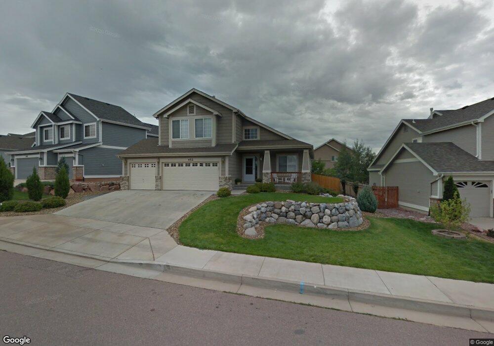
452 Fox Run Cir Colorado Springs, CO 80921
Northgate NeighborhoodEstimated Value: $609,635 - $674,000
4
Beds
3
Baths
2,236
Sq Ft
$286/Sq Ft
Est. Value
About This Home
This home is located at 452 Fox Run Cir, Colorado Springs, CO 80921 and is currently estimated at $638,409, approximately $285 per square foot. 452 Fox Run Cir is a home located in El Paso County with nearby schools including Antelope Trails Elementary School, Discovery Canyon Campus Middle School, and Discovery Canyon Campus High School.
Ownership History
Date
Name
Owned For
Owner Type
Purchase Details
Closed on
May 17, 2002
Sold by
Melchisedeck Jerry L and Melchisedeck Dixie L
Bought by
Boushell Thomas G and Boushell Jennifer L
Current Estimated Value
Home Financials for this Owner
Home Financials are based on the most recent Mortgage that was taken out on this home.
Original Mortgage
$213,122
Outstanding Balance
$90,183
Interest Rate
6.96%
Estimated Equity
$548,226
Purchase Details
Closed on
Apr 5, 2002
Sold by
U S Home Corp
Bought by
Melchisedeck Jerry L and Melchisedeck Dixie L
Home Financials for this Owner
Home Financials are based on the most recent Mortgage that was taken out on this home.
Original Mortgage
$213,122
Outstanding Balance
$90,183
Interest Rate
6.96%
Estimated Equity
$548,226
Create a Home Valuation Report for This Property
The Home Valuation Report is an in-depth analysis detailing your home's value as well as a comparison with similar homes in the area
Home Values in the Area
Average Home Value in this Area
Purchase History
| Date | Buyer | Sale Price | Title Company |
|---|---|---|---|
| Boushell Thomas G | $266,403 | North American Title Co | |
| Melchisedeck Jerry L | $246,648 | North American Title |
Source: Public Records
Mortgage History
| Date | Status | Borrower | Loan Amount |
|---|---|---|---|
| Open | Boushell Thomas G | $213,122 |
Source: Public Records
Tax History Compared to Growth
Tax History
| Year | Tax Paid | Tax Assessment Tax Assessment Total Assessment is a certain percentage of the fair market value that is determined by local assessors to be the total taxable value of land and additions on the property. | Land | Improvement |
|---|---|---|---|---|
| 2025 | $2,148 | $42,130 | -- | -- |
| 2024 | $2,117 | $39,650 | $8,780 | $30,870 |
| 2023 | $2,117 | $39,650 | $8,780 | $30,870 |
| 2022 | $1,928 | $29,140 | $7,670 | $21,470 |
| 2021 | $2,142 | $29,980 | $7,890 | $22,090 |
| 2020 | $2,108 | $27,380 | $7,290 | $20,090 |
| 2019 | $2,085 | $27,380 | $7,290 | $20,090 |
| 2018 | $1,841 | $23,750 | $5,880 | $17,870 |
| 2017 | $2,000 | $23,750 | $5,880 | $17,870 |
| 2016 | $2,002 | $23,740 | $5,920 | $17,820 |
| 2015 | $1,998 | $23,740 | $5,920 | $17,820 |
| 2014 | $1,869 | $22,190 | $5,640 | $16,550 |
Source: Public Records
Map
Nearby Homes
- 339 Sandreed Place
- 532 Fox Run Cir
- 13630 Northgate Estates Dr
- 110 Luxury Ln
- 106 Luxury Ln
- 13850 Windrush Dr
- 13833 Rivercrest Cir
- 13881 Rivercrest Cir
- 46 Rising Sun Terrace
- 34 Rising Sun Terrace
- 206 Luxury Ln
- 214 Luxury Ln
- 18 Rising Sun Terrace
- 215 Luxury Ln
- 178 Coyote Willow Dr
- 294 Luxury Ln
- 286 Luxury Ln
- 14095 Gleneagle Dr
- 1385 Diamond Rim Dr
- 460 Fox Run Cir
- 444 Fox Run Cir
- 495 Shrubland Dr
- 463 Shrubland Dr
- 468 Fox Run Cir
- 436 Fox Run Cir
- 451 Fox Run Cir
- 511 Shrubland Dr
- 443 Fox Run Cir
- 350 Sandreed Place
- 476 Fox Run Cir
- 435 Fox Run Cir
- 527 Shrubland Dr
- 427 Fox Run Cir
- 484 Fox Run Cir
- 340 Sandreed Place
- 432 Shrubland Dr
- 512 Shrubland Dr
- 416 Shrubland Dr
- 448 Shrubland Dr