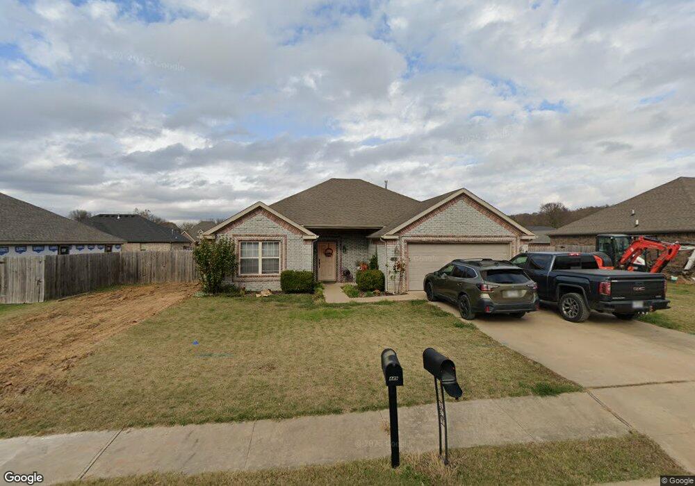
452 Harness Ln West Fork, AR 72774
Estimated Value: $282,000
3
Beds
2
Baths
1,615
Sq Ft
$175/Sq Ft
Est. Value
About This Home
This home is located at 452 Harness Ln, West Fork, AR 72774 and is currently priced at $282,000, approximately $174 per square foot. 452 Harness Ln is a home located in Washington County with nearby schools including Greenland Middle School, Greenland Elementary School, and Greenland High School.
Ownership History
Date
Name
Owned For
Owner Type
Purchase Details
Closed on
Sep 15, 2010
Sold by
Lew Thompson Properties Llc
Bought by
Cox Kenneth B
Current Estimated Value
Home Financials for this Owner
Home Financials are based on the most recent Mortgage that was taken out on this home.
Original Mortgage
$117,092
Outstanding Balance
$77,594
Interest Rate
4.51%
Mortgage Type
New Conventional
Purchase Details
Closed on
Apr 9, 2010
Sold by
Cophers Quality Homes Llc
Bought by
Lew Thompson Properties Llc
Create a Home Valuation Report for This Property
The Home Valuation Report is an in-depth analysis detailing your home's value as well as a comparison with similar homes in the area
Home Values in the Area
Average Home Value in this Area
Purchase History
| Date | Buyer | Sale Price | Title Company |
|---|---|---|---|
| Cox Kenneth B | $113,000 | Rtc | |
| Lew Thompson Properties Llc | -- | None Available |
Source: Public Records
Mortgage History
| Date | Status | Borrower | Loan Amount |
|---|---|---|---|
| Open | Cox Kenneth B | $117,092 |
Source: Public Records
Tax History
| Year | Tax Paid | Tax Assessment Tax Assessment Total Assessment is a certain percentage of the fair market value that is determined by local assessors to be the total taxable value of land and additions on the property. | Land | Improvement |
|---|---|---|---|---|
| 2023 | $1,014 | $51,750 | $7,200 | $44,550 |
| 2022 | $1,419 | $31,970 | $4,800 | $27,170 |
| 2021 | $1,361 | $31,970 | $4,800 | $27,170 |
| 2020 | $1,303 | $31,970 | $4,800 | $27,170 |
| 2019 | $1,211 | $25,280 | $3,200 | $22,080 |
| 2018 | $1,236 | $25,280 | $3,200 | $22,080 |
| 2017 | $800 | $25,280 | $3,200 | $22,080 |
| 2016 | $1,223 | $25,280 | $3,200 | $22,080 |
| 2015 | $1,154 | $25,280 | $3,200 | $22,080 |
| 2014 | $1,100 | $23,670 | $4,000 | $19,670 |
Source: Public Records
Map
Nearby Homes
- 1329 Homestead Ln
- 443 Buckboard Rd
- 12825 E Wallin Mountain Rd
- 0 W Carrol St
- 657 W Carrol St
- 0 Path Trail Rd
- TBD Butterfield Ave
- 215/215B/219 S Peerson St
- 340 W Circle Dr
- 000 W Circle Dr
- 14630 E Wallin Mountain Rd
- 451 W Horn St
- 11322 SW Campbell Rd
- 415 & 421 W Napier Dr
- 10845 SW Campbell Rd
- 656 W Foothills Dr
- 12145 Flowers Rd
- 10982 Tony Mountain Rd
- N Letitia Ave
- 11498 Tony Mountain Rd
Your Personal Tour Guide
Ask me questions while you tour the home.