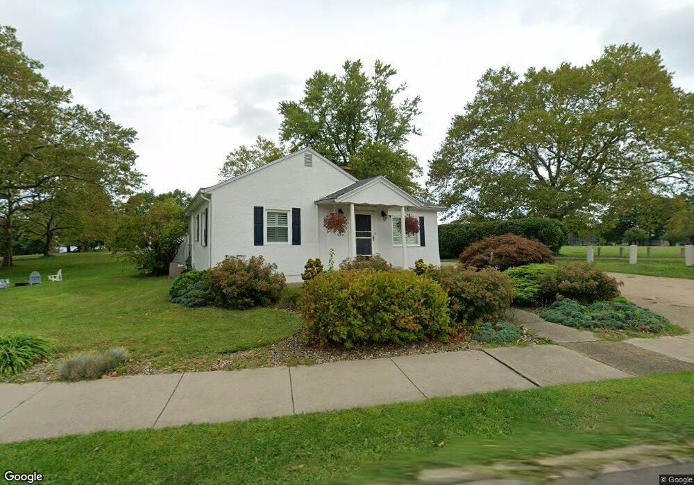
452 Lake Rd Conneaut, OH 44030
Estimated Value: $145,955 - $159,000
2
Beds
1
Bath
966
Sq Ft
$159/Sq Ft
Est. Value
About This Home
This home is located at 452 Lake Rd, Conneaut, OH 44030 and is currently estimated at $153,239, approximately $158 per square foot. 452 Lake Rd is a home located in Ashtabula County with nearby schools including Lakeshore Primary Elementary School, Gateway Elementary School, and Conneaut Middle School.
Ownership History
Date
Name
Owned For
Owner Type
Purchase Details
Closed on
Jan 7, 2016
Sold by
Joslin Michael A and Joslin Melanie
Bought by
Joslin Gregory M and Joslin Victoria L
Current Estimated Value
Home Financials for this Owner
Home Financials are based on the most recent Mortgage that was taken out on this home.
Original Mortgage
$137,750
Outstanding Balance
$109,448
Interest Rate
3.93%
Mortgage Type
New Conventional
Estimated Equity
$43,791
Purchase Details
Closed on
Aug 12, 2005
Sold by
Kitinoja Robert A
Bought by
Joslin Michael A
Home Financials for this Owner
Home Financials are based on the most recent Mortgage that was taken out on this home.
Original Mortgage
$110,000
Interest Rate
5.69%
Mortgage Type
Unknown
Purchase Details
Closed on
Sep 24, 2004
Sold by
Estate Of Kendall G Kitinoja
Bought by
Kitinoja Robert A
Create a Home Valuation Report for This Property
The Home Valuation Report is an in-depth analysis detailing your home's value as well as a comparison with similar homes in the area
Home Values in the Area
Average Home Value in this Area
Purchase History
| Date | Buyer | Sale Price | Title Company |
|---|---|---|---|
| Joslin Gregory M | $145,000 | Chicago Title | |
| Joslin Michael A | $151,000 | Enterprise Title Agency | |
| Kitinoja Robert A | -- | -- |
Source: Public Records
Mortgage History
| Date | Status | Borrower | Loan Amount |
|---|---|---|---|
| Open | Joslin Gregory M | $137,750 | |
| Previous Owner | Joslin Michael A | $110,000 |
Source: Public Records
Tax History Compared to Growth
Tax History
| Year | Tax Paid | Tax Assessment Tax Assessment Total Assessment is a certain percentage of the fair market value that is determined by local assessors to be the total taxable value of land and additions on the property. | Land | Improvement |
|---|---|---|---|---|
| 2024 | $2,133 | $29,160 | $3,920 | $25,240 |
| 2023 | $1,382 | $29,160 | $3,920 | $25,240 |
| 2022 | $1,168 | $21,700 | $3,010 | $18,690 |
| 2021 | $1,188 | $21,700 | $3,010 | $18,690 |
| 2020 | $1,187 | $21,700 | $3,010 | $18,690 |
| 2019 | $1,057 | $18,940 | $2,560 | $16,380 |
| 2018 | $1,008 | $18,940 | $2,560 | $16,380 |
| 2017 | $503 | $18,940 | $2,560 | $16,380 |
| 2016 | $896 | $18,350 | $2,490 | $15,860 |
| 2015 | $905 | $18,350 | $2,490 | $15,860 |
| 2014 | $802 | $18,350 | $2,490 | $15,860 |
| 2013 | $962 | $22,690 | $2,840 | $19,850 |
Source: Public Records
Map
Nearby Homes
- 430 Detroit St
- 472 Detroit St
- 414 Detroit St
- 441 Detroit St
- 441 Detroit St
- 441 Detroit St
- 441 Detroit St
- 471 Detroit St
- 423 Detroit St
- 400 Detroit St
- 481 Detroit St
- 413 Detroit St
- 498 Detroit St
- 868 Grove St
- 0 Lake Rd Unit 3928478
- 0 Lake Rd Unit 3158434
- VL Lake Rd
- VL 1 Lake Rd
- VL Lake ( Rt 531) Rd
- 412 Walnut St