Estimated Value: $185,504 - $219,000
3
Beds
1
Bath
950
Sq Ft
$214/Sq Ft
Est. Value
About This Home
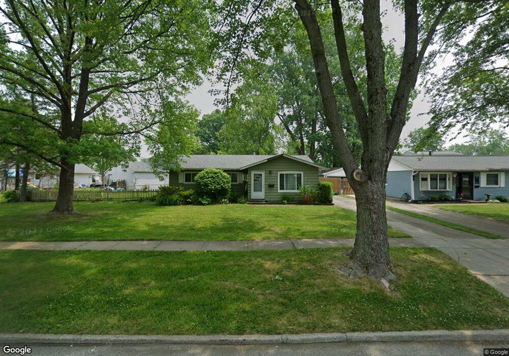
This home is located at 452 Pecan Dr, Berea, OH 44017 and is currently estimated at $203,126, approximately $213 per square foot. 452 Pecan Dr is a home located in Cuyahoga County with nearby schools including Grindstone Elementary School, Berea-Midpark Middle School, and Berea-Midpark High School.
Ownership History
Date
Name
Owned For
Owner Type
Purchase Details
Closed on
Jun 18, 1991
Sold by
Bobwicz Dawn M
Bought by
Grzelak Gary D
Current Estimated Value
Purchase Details
Closed on
Oct 8, 1985
Sold by
Salvaggio John A
Bought by
Bobwicz Dawn M
Purchase Details
Closed on
Jun 7, 1984
Sold by
Salvaggio John A and Salvaggio Donna L
Bought by
Salvaggio John A
Purchase Details
Closed on
Oct 8, 1982
Sold by
Hack Stephen E
Bought by
Salvaggio John A and Salvaggio Donna L
Purchase Details
Closed on
Jul 28, 1976
Sold by
King Paul G and King Shirley L
Bought by
Hack Stephen E
Purchase Details
Closed on
Jan 1, 1975
Bought by
King Paul G and King Shirley L
Create a Home Valuation Report for This Property
The Home Valuation Report is an in-depth analysis detailing your home's value as well as a comparison with similar homes in the area
Home Values in the Area
Average Home Value in this Area
Purchase History
| Date | Buyer | Sale Price | Title Company |
|---|---|---|---|
| Grzelak Gary D | $73,000 | -- | |
| Bobwicz Dawn M | $45,900 | -- | |
| Salvaggio John A | -- | -- | |
| Salvaggio John A | $44,900 | -- | |
| Hack Stephen E | $32,900 | -- | |
| King Paul G | -- | -- |
Source: Public Records
Tax History
| Year | Tax Paid | Tax Assessment Tax Assessment Total Assessment is a certain percentage of the fair market value that is determined by local assessors to be the total taxable value of land and additions on the property. | Land | Improvement |
|---|---|---|---|---|
| 2024 | $2,546 | $53,585 | $13,545 | $40,040 |
| 2023 | $2,231 | $41,270 | $10,960 | $30,310 |
| 2022 | $2,245 | $41,270 | $10,960 | $30,310 |
| 2021 | $2,224 | $41,270 | $10,960 | $30,310 |
| 2020 | $2,024 | $34,970 | $9,280 | $25,690 |
| 2019 | $1,971 | $99,900 | $26,500 | $73,400 |
| 2018 | $1,850 | $34,970 | $9,280 | $25,690 |
| 2017 | $1,865 | $31,890 | $7,910 | $23,980 |
| 2016 | $1,851 | $31,890 | $7,910 | $23,980 |
| 2015 | $2,519 | $31,890 | $7,910 | $23,980 |
| 2014 | $2,519 | $33,570 | $8,330 | $25,240 |
Source: Public Records
Map
Nearby Homes
- 428 Park Place
- 379 Laurel Dr
- 487 Karen Dr
- 446 Redwood Dr
- 160 Stonepointe Dr
- 445 Berea St
- 628 Lindbergh Blvd
- 146 Marian Ln
- 404 Crescent Dr
- 160 Marian Ln Unit 6A
- 725 Shakespeare Dr
- 93 W 5th Ave
- 287 Edgewood Dr
- 216 Kraft St
- 300 West St
- 211 W Bridge St
- 41 W 5th Ave
- 209 Gibson St
- 388 Fairwood Cir
- 6574 Burton Dr
Your Personal Tour Guide
Ask me questions while you tour the home.