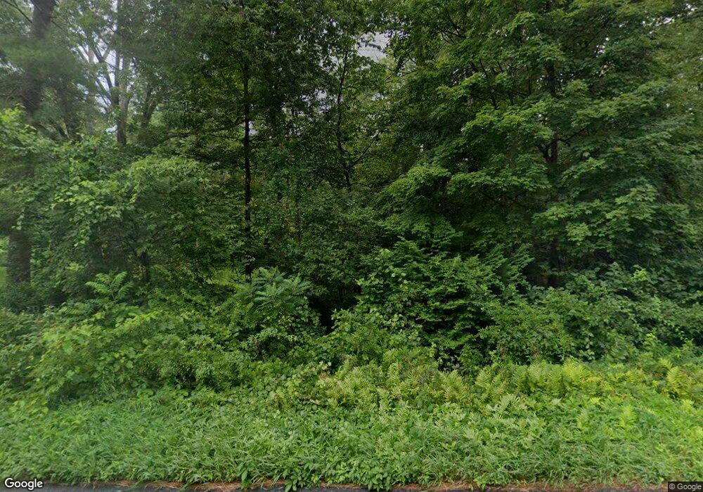
452 Route 7 West Cornwall, CT 06796
Estimated Value: $400,888 - $599,000
2
Beds
1
Bath
1,364
Sq Ft
$339/Sq Ft
Est. Value
About This Home
This home is located at 452 Route 7, West Cornwall, CT 06796 and is currently estimated at $462,722, approximately $339 per square foot. 452 Route 7 is a home with nearby schools including Housatonic Valley Regional High School.
Ownership History
Date
Name
Owned For
Owner Type
Purchase Details
Closed on
Apr 14, 2023
Sold by
Becker Belle E Est
Bought by
Klemens Michael W
Current Estimated Value
Home Financials for this Owner
Home Financials are based on the most recent Mortgage that was taken out on this home.
Original Mortgage
$250,000
Outstanding Balance
$240,761
Interest Rate
5%
Mortgage Type
Purchase Money Mortgage
Estimated Equity
$221,961
Purchase Details
Closed on
Dec 23, 1980
Bought by
Becker Belle E
Create a Home Valuation Report for This Property
The Home Valuation Report is an in-depth analysis detailing your home's value as well as a comparison with similar homes in the area
Home Values in the Area
Average Home Value in this Area
Purchase History
| Date | Buyer | Sale Price | Title Company |
|---|---|---|---|
| Klemens Michael W | $320,000 | None Available | |
| Klemens Michael W | $320,000 | None Available | |
| Becker Belle E | -- | -- |
Source: Public Records
Mortgage History
| Date | Status | Borrower | Loan Amount |
|---|---|---|---|
| Open | Klemens Michael W | $250,000 | |
| Closed | Klemens Michael W | $250,000 |
Source: Public Records
Tax History Compared to Growth
Tax History
| Year | Tax Paid | Tax Assessment Tax Assessment Total Assessment is a certain percentage of the fair market value that is determined by local assessors to be the total taxable value of land and additions on the property. | Land | Improvement |
|---|---|---|---|---|
| 2025 | $2,893 | $259,500 | $99,300 | $160,200 |
| 2024 | $2,738 | $259,500 | $99,300 | $160,200 |
| 2023 | $2,326 | $161,500 | $76,500 | $85,000 |
| 2022 | $2,326 | $161,500 | $76,500 | $85,000 |
| 2021 | $11,658 | $161,500 | $76,500 | $85,000 |
| 2020 | $12,306 | $161,500 | $76,500 | $85,000 |
| 2019 | $2,326 | $161,500 | $76,500 | $85,000 |
| 2018 | $11,666 | $166,700 | $92,300 | $74,400 |
| 2017 | $2,450 | $166,700 | $92,300 | $74,400 |
| 2016 | $2,400 | $166,700 | $92,300 | $74,400 |
| 2015 | $2,284 | $166,700 | $92,300 | $74,400 |
| 2014 | $2,209 | $166,700 | $92,300 | $74,400 |
Source: Public Records
Map
Nearby Homes
- 6 Claudia Ln
- 0 Swaller Hill Rd Unit 24117863
- 0 Swaller Hill Rd Unit 24065338
- 20 Kirk Rd
- 14 River Rd
- 255 Dibble Hill Rd
- 153 White Hollow Rd
- 143 White Hollow Rd
- 28 White Hollow Rd
- 68 Johnson Rd
- 233 Sharon-Goshen Turnpike
- 175 Dibble Hill Rd
- 10 Red Mountain Rd
- 294 Lime Rock Rd
- 0 Aspen Hill Dr
- 198-3 Beebe Hill Rd
- 198-4 Beebe Hill Rd
- 198-1 Beebe Hill Rd
- 198-2 Beebe Hill Rd
- 37 Lower Barrack Rd
