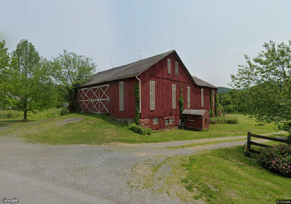
452 Snook Rd Mc Clure, PA 17841
Estimated Value: $145,000 - $311,000
3
Beds
2
Baths
1,804
Sq Ft
$133/Sq Ft
Est. Value
About This Home
This home is located at 452 Snook Rd, Mc Clure, PA 17841 and is currently estimated at $240,555, approximately $133 per square foot. 452 Snook Rd is a home located in Mifflin County with nearby schools including East Derry Elementary School, Mifflin County Junior High School, and Mifflin County Middle School.
Ownership History
Date
Name
Owned For
Owner Type
Purchase Details
Closed on
Jun 23, 2017
Sold by
Shade Christopher S
Bought by
Stoltzfus 1 Raymond
Current Estimated Value
Home Financials for this Owner
Home Financials are based on the most recent Mortgage that was taken out on this home.
Original Mortgage
$198,000
Outstanding Balance
$164,830
Interest Rate
4.05%
Estimated Equity
$75,725
Purchase Details
Closed on
May 16, 2017
Sold by
Rehrer Edward and Rehrer Loria
Bought by
Rehrer Edward
Home Financials for this Owner
Home Financials are based on the most recent Mortgage that was taken out on this home.
Original Mortgage
$198,000
Outstanding Balance
$164,830
Interest Rate
4.05%
Estimated Equity
$75,725
Purchase Details
Closed on
Jul 3, 2001
Bought by
Stoltzfus Wayne Edward and Nickie Lyn
Create a Home Valuation Report for This Property
The Home Valuation Report is an in-depth analysis detailing your home's value as well as a comparison with similar homes in the area
Home Values in the Area
Average Home Value in this Area
Purchase History
| Date | Buyer | Sale Price | Title Company |
|---|---|---|---|
| Stoltzfus 1 Raymond | $198,000 | None Available | |
| Rehrer Edward | -- | None Available | |
| Stoltzfus Wayne Edward | $185,000 | -- |
Source: Public Records
Mortgage History
| Date | Status | Borrower | Loan Amount |
|---|---|---|---|
| Open | Stoltzfus 1 Raymond | $198,000 |
Source: Public Records
Tax History Compared to Growth
Tax History
| Year | Tax Paid | Tax Assessment Tax Assessment Total Assessment is a certain percentage of the fair market value that is determined by local assessors to be the total taxable value of land and additions on the property. | Land | Improvement |
|---|---|---|---|---|
| 2025 | $2,782 | $51,250 | $19,600 | $31,650 |
| 2024 | $2,782 | $51,250 | $19,600 | $31,650 |
| 2023 | $2,782 | $51,250 | $19,600 | $31,650 |
| 2022 | $2,782 | $51,250 | $19,600 | $31,650 |
| 2021 | $2,782 | $51,250 | $19,600 | $31,650 |
| 2020 | $2,731 | $51,250 | $19,600 | $31,650 |
| 2019 | $2,676 | $51,250 | $19,600 | $31,650 |
| 2018 | $2,601 | $51,550 | $19,600 | $31,950 |
| 2017 | $2,601 | $51,550 | $19,600 | $31,950 |
| 2016 | $2,511 | $51,550 | $19,600 | $31,950 |
| 2015 | -- | $51,550 | $19,600 | $31,950 |
| 2012 | -- | $51,550 | $19,600 | $31,950 |
Source: Public Records
Map
Nearby Homes
- 105 Shrefflers Ln
- 5035 Back Maitland Rd
- 24 Church Ln
- 400 Mountain Springs Ln
- 5 Barnett Ln
- 3709 Us Highway 522 N
- 0 Wagner Rd
- 220 Upper Bald Eagle Ln
- 3037 US Highway 522n
- 56 Ponderosa Way
- 2600 New Lancaster Valley Rd
- 1792 Back Maitland Rd
- 70 Kathryn Rd
- 600, 650, 656 Airport Dr
- 1840 William Penn Hwy
- 3497 New Lancaster Valley Rd
- 152 Hawsbrick St
- 144 Hawsbrick St
- 532 E Freedom Ave
- 194 Park View Ave