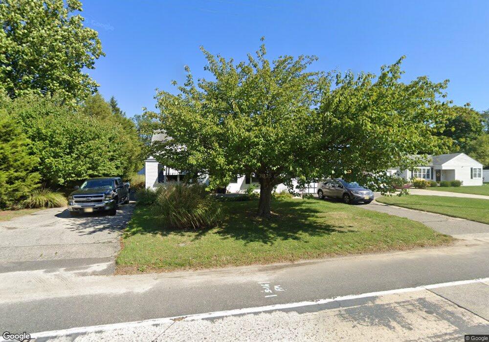
452 Tansboro Rd Winslow Township, NJ 08004
Winslow Township NeighborhoodEstimated Value: $371,020
4
Beds
2
Baths
1,546
Sq Ft
$240/Sq Ft
Est. Value
About This Home
This home is located at 452 Tansboro Rd, Winslow Township, NJ 08004 and is currently estimated at $371,020, approximately $239 per square foot. 452 Tansboro Rd is a home located in Camden County with nearby schools including Winslow Township High School, Our Lady Of Mt Carmel School, and The Archway School.
Ownership History
Date
Name
Owned For
Owner Type
Purchase Details
Closed on
May 11, 2023
Sold by
Winchris Developers Llc
Bought by
Mcmaster Alyson K and Mcmaster Anthony J
Current Estimated Value
Home Financials for this Owner
Home Financials are based on the most recent Mortgage that was taken out on this home.
Original Mortgage
$310,000
Outstanding Balance
$301,317
Interest Rate
6.35%
Mortgage Type
VA
Estimated Equity
$69,703
Purchase Details
Closed on
Jan 9, 2023
Sold by
Stinson Investments Llc
Bought by
Winchris Developers Llc
Purchase Details
Closed on
Aug 21, 2017
Sold by
Fannie Mae
Bought by
Stinson Investments Llc
Home Financials for this Owner
Home Financials are based on the most recent Mortgage that was taken out on this home.
Original Mortgage
$100,000
Interest Rate
3.86%
Mortgage Type
Purchase Money Mortgage
Create a Home Valuation Report for This Property
The Home Valuation Report is an in-depth analysis detailing your home's value as well as a comparison with similar homes in the area
Home Values in the Area
Average Home Value in this Area
Purchase History
| Date | Buyer | Sale Price | Title Company |
|---|---|---|---|
| Mcmaster Alyson K | $310,000 | None Listed On Document | |
| Winchris Developers Llc | $145,000 | -- | |
| Stinson Investments Llc | $68,000 | Brennan Title Abstract Llc |
Source: Public Records
Mortgage History
| Date | Status | Borrower | Loan Amount |
|---|---|---|---|
| Open | Mcmaster Alyson K | $310,000 | |
| Previous Owner | Stinson Investments Llc | $100,000 |
Source: Public Records
Tax History Compared to Growth
Tax History
| Year | Tax Paid | Tax Assessment Tax Assessment Total Assessment is a certain percentage of the fair market value that is determined by local assessors to be the total taxable value of land and additions on the property. | Land | Improvement |
|---|---|---|---|---|
| 2025 | $5,820 | $175,100 | $33,300 | $141,800 |
| 2024 | $5,820 | $175,100 | $33,300 | $141,800 |
| 2023 | $5,820 | $153,200 | $33,300 | $119,900 |
| 2022 | $5,641 | $153,200 | $33,300 | $119,900 |
| 2021 | $5,576 | $153,200 | $33,300 | $119,900 |
| 2020 | $5,527 | $153,200 | $33,300 | $119,900 |
| 2019 | $5,494 | $153,200 | $33,300 | $119,900 |
| 2018 | $5,419 | $153,200 | $33,300 | $119,900 |
| 2017 | $5,322 | $153,200 | $33,300 | $119,900 |
| 2016 | $5,255 | $153,200 | $33,300 | $119,900 |
| 2015 | $5,178 | $153,200 | $33,300 | $119,900 |
| 2014 | $5,063 | $153,200 | $33,300 | $119,900 |
Source: Public Records
Map
Nearby Homes
- 106 Hearthstone Dr
- 306 Johnny Boy Ln
- 16 E Factory Rd
- 3203-3 Route 73
- 395 Tansboro Rd
- 172 Hearthstone Dr
- 21 Briarcliff Rd
- 21 Cornell Rd
- 31 Butternut Dr
- 31 Butternut Dr Unit 16
- 181 White Horse Pike
- 24 Deer Pond Blvd
- 21 Butternut Dr
- 21 Butternut Dr Unit 11
- 18 Butternut Dr
- 18 Butternut Dr Unit 19
- 19 Butternut Dr Unit 10
- 17 Dunham Loop
- 60 Sweetgum Rd
- 58 Sweetgum Rd
- 452 Tansboro Rd
- 456 Tansboro Rd
- 456 Tansboro Rd
- 407 Tansboro Rd
- 443 Tansboro Rd
- 445 Tansboro Rd
- 449 Tansboro Rd
- 459 Tansboro Rd
- 451 Tansboro Rd
- 453 Tansboro Rd
- 448 Tansboro Rd
- 455 Tansboro Rd
- 457 Tansboro Rd
- 6 W Taunton Rd
- 8 W Taunton Rd
- 10 W Taunton Rd
- 18 W Taunton Rd
- 17 W Taunton Rd
- 0 Tansboro Rd
- 501 Tansboro Rd