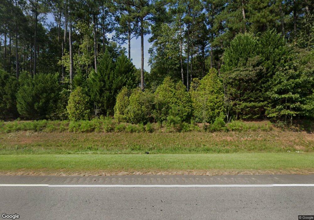
452 Thomson Rd Washington, GA 30673
Estimated Value: $292,000 - $368,000
3
Beds
2
Baths
1,995
Sq Ft
$163/Sq Ft
Est. Value
About This Home
This home is located at 452 Thomson Rd, Washington, GA 30673 and is currently estimated at $325,076, approximately $162 per square foot. 452 Thomson Rd is a home located in Wilkes County with nearby schools including Washington-Wilkes Elementary School, Washington-Wilkes Primary School, and Washington-Wilkes Middle School.
Ownership History
Date
Name
Owned For
Owner Type
Purchase Details
Closed on
Jan 15, 2010
Sold by
Maloof Michelle L
Bought by
Maloof Jeffrey A
Current Estimated Value
Purchase Details
Closed on
Jan 19, 2005
Sold by
Maloof Louise S
Bought by
Maloof Jeffrey A and Maloof Michelle L
Purchase Details
Closed on
Dec 21, 2000
Sold by
Newberry John M
Bought by
Maloof Louise S
Purchase Details
Closed on
Dec 1, 1993
Bought by
Newberry John M
Purchase Details
Closed on
Jan 1, 1978
Purchase Details
Closed on
Jan 1, 1976
Create a Home Valuation Report for This Property
The Home Valuation Report is an in-depth analysis detailing your home's value as well as a comparison with similar homes in the area
Purchase History
| Date | Buyer | Sale Price | Title Company |
|---|---|---|---|
| Maloof Jeffrey A | -- | -- | |
| Maloof Jeffrey A | -- | -- | |
| Maloof Louise S | $95,600 | -- | |
| Newberry John M | -- | -- | |
| -- | -- | -- | |
| -- | -- | -- |
Source: Public Records
Tax History
| Year | Tax Paid | Tax Assessment Tax Assessment Total Assessment is a certain percentage of the fair market value that is determined by local assessors to be the total taxable value of land and additions on the property. | Land | Improvement |
|---|---|---|---|---|
| 2025 | $1,830 | $64,332 | $13,781 | $50,551 |
| 2024 | $1,861 | $64,332 | $13,781 | $50,551 |
| 2023 | $1,831 | $64,332 | $13,781 | $50,551 |
| 2022 | $1,831 | $64,332 | $13,781 | $50,551 |
| 2021 | $1,874 | $64,332 | $13,781 | $50,551 |
| 2020 | $1,849 | $64,332 | $13,781 | $50,551 |
| 2019 | $1,864 | $64,332 | $13,781 | $50,551 |
| 2018 | $1,868 | $64,332 | $13,781 | $50,551 |
| 2017 | $1,868 | $64,332 | $13,781 | $50,551 |
| 2016 | $1,802 | $64,332 | $13,781 | $50,551 |
| 2015 | -- | $13,781 | $13,781 | $50,551 |
| 2014 | -- | $64,332 | $13,781 | $50,551 |
| 2013 | -- | $65,632 | $13,780 | $51,852 |
Source: Public Records
Map
Nearby Homes
- 425 Thomson Rd
- 1445 Lincolnton Rd
- 829 Berkshire Dr
- 815 Hillcrest Dr
- 122 Rutledge St
- 157 Wrightsboro Rd
- 317 E Barnett St
- 801 Berkshire Dr
- 102 Arden Rd
- 202 Pembroke Dr
- 309 E Robert Toombs Ave
- 205 Elm St
- 513 S Jefferson St
- 206 S Alexander Ave
- 210 Water St
- 316 S Jefferson St
- 308 Springdale Park
- 414 Spring St
- 20 E Robert Toombs Ave
- 307 N Alexander Ave
- 506 Thomson Rd
- 120 Drinkard Dr
- 235 Doster Rd
- 467 Thomson Rd
- 380 Thomson Rd
- 272 Doster Rd
- 497 Thomson Rd
- 188 Drinkard Dr
- 111 Bryans Dr
- 224 Drinkard Dr
- 578 Thomson Rd
- 181 Drinkard Dr
- 157 Bryans Dr
- 146 Hendry Ln
- 203 Drinkard Dr
- 545 Thomson Rd
- 604 Thomson Rd
- 591 Thomson Rd
- 231 Drinkard Dr
- 340 Thomson Rd
