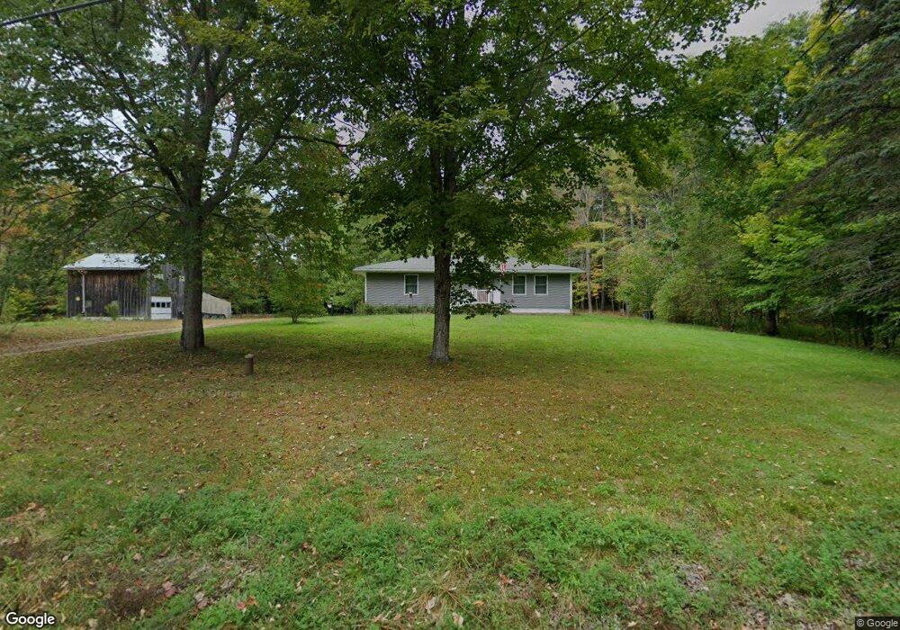
452 W Burrough Rd Bowdoin, ME 04287
Estimated Value: $278,000 - $390,000
3
Beds
2
Baths
1,248
Sq Ft
$278/Sq Ft
Est. Value
About This Home
This home is located at 452 W Burrough Rd, Bowdoin, ME 04287 and is currently estimated at $346,968, approximately $278 per square foot. 452 W Burrough Rd is a home with nearby schools including Mt Ararat High School and Lisbon Falls Christian Academy.
Ownership History
Date
Name
Owned For
Owner Type
Purchase Details
Closed on
Apr 22, 2014
Sold by
Gordon Amber
Bought by
Patterson Terry
Current Estimated Value
Home Financials for this Owner
Home Financials are based on the most recent Mortgage that was taken out on this home.
Original Mortgage
$60,000
Interest Rate
4.26%
Mortgage Type
Unknown
Create a Home Valuation Report for This Property
The Home Valuation Report is an in-depth analysis detailing your home's value as well as a comparison with similar homes in the area
Home Values in the Area
Average Home Value in this Area
Purchase History
| Date | Buyer | Sale Price | Title Company |
|---|---|---|---|
| Patterson Terry | -- | -- | |
| Patterson Terry | -- | -- |
Source: Public Records
Mortgage History
| Date | Status | Borrower | Loan Amount |
|---|---|---|---|
| Closed | Patterson Terry | $60,000 |
Source: Public Records
Tax History Compared to Growth
Tax History
| Year | Tax Paid | Tax Assessment Tax Assessment Total Assessment is a certain percentage of the fair market value that is determined by local assessors to be the total taxable value of land and additions on the property. | Land | Improvement |
|---|---|---|---|---|
| 2025 | $3,648 | $342,500 | $91,000 | $251,500 |
| 2024 | $3,322 | $342,500 | $91,000 | $251,500 |
| 2023 | $2,282 | $125,400 | $48,900 | $76,500 |
| 2022 | $2,275 | $134,590 | $48,900 | $85,690 |
| 2021 | $2,379 | $143,300 | $48,900 | $94,400 |
| 2020 | $2,293 | $143,300 | $48,900 | $94,400 |
| 2019 | $2,844 | $143,300 | $48,900 | $94,400 |
| 2018 | $2,164 | $143,300 | $48,900 | $94,400 |
| 2017 | $2,150 | $143,300 | $48,900 | $94,400 |
| 2016 | $2,714 | $140,550 | $48,900 | $91,650 |
| 2015 | $2,052 | $140,550 | $48,900 | $91,650 |
| 2014 | $1,954 | $140,550 | $48,900 | $91,650 |
| 2013 | $1,827 | $140,550 | $48,900 | $91,650 |
Source: Public Records
Map
Nearby Homes
- 462 W Burrough Rd
- 441 W Burrough Rd
- 469 W Burrough Rd
- 419 W Burrough Rd
- 479 W Burrough Rd
- 422 W Burrough Rd
- 421 W Burrough Rd
- 411 W Burrough Rd
- 496 W Burrough Rd
- 449 W Burrough Rd
- 504 W Burrough Rd
- 26 Denham Ln
- 397 W Burrough Rd
- 513 W Burrough Rd
- 392 W Burrough Rd
- 526 W Burrough Rd
- 384 W Burrough Rd
- 370 W Burrough Rd
- 546 W Burrough Rd
- 547 W Burrough Rd