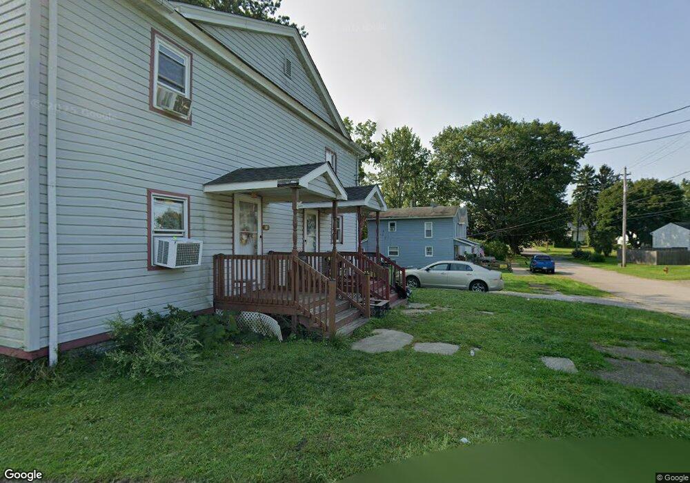
452 Washington St Conneaut, OH 44030
Estimated Value: $43,890 - $131,000
6
Beds
2
Baths
2,688
Sq Ft
$32/Sq Ft
Est. Value
About This Home
This home is located at 452 Washington St, Conneaut, OH 44030 and is currently estimated at $85,723, approximately $31 per square foot. 452 Washington St is a home located in Ashtabula County with nearby schools including Lakeshore Primary Elementary School, Gateway Elementary School, and Conneaut Middle School.
Ownership History
Date
Name
Owned For
Owner Type
Purchase Details
Closed on
Feb 8, 2021
Sold by
Bowman Dennis B and Bowman Tammy I
Bought by
Ritam Properties Llc
Current Estimated Value
Purchase Details
Closed on
Jun 22, 1995
Sold by
Sanford Phil
Bought by
Bowman Dennis B and Bowman Tammy I
Home Financials for this Owner
Home Financials are based on the most recent Mortgage that was taken out on this home.
Original Mortgage
$16,125
Interest Rate
7.9%
Mortgage Type
New Conventional
Create a Home Valuation Report for This Property
The Home Valuation Report is an in-depth analysis detailing your home's value as well as a comparison with similar homes in the area
Home Values in the Area
Average Home Value in this Area
Purchase History
| Date | Buyer | Sale Price | Title Company |
|---|---|---|---|
| Ritam Properties Llc | $30,000 | Title Professionals Group Lt | |
| Bowman Dennis B | $21,500 | -- |
Source: Public Records
Mortgage History
| Date | Status | Borrower | Loan Amount |
|---|---|---|---|
| Previous Owner | Bowman Dennis B | $16,125 |
Source: Public Records
Tax History Compared to Growth
Tax History
| Year | Tax Paid | Tax Assessment Tax Assessment Total Assessment is a certain percentage of the fair market value that is determined by local assessors to be the total taxable value of land and additions on the property. | Land | Improvement |
|---|---|---|---|---|
| 2024 | $1,481 | $20,240 | $4,310 | $15,930 |
| 2023 | $962 | $20,240 | $4,310 | $15,930 |
| 2022 | $839 | $15,540 | $3,290 | $12,250 |
| 2021 | $851 | $15,540 | $3,290 | $12,250 |
| 2020 | $850 | $15,540 | $3,290 | $12,250 |
| 2019 | $757 | $13,660 | $2,420 | $11,240 |
| 2018 | $722 | $13,660 | $2,420 | $11,240 |
| 2017 | $721 | $13,660 | $2,420 | $11,240 |
| 2016 | $959 | $19,880 | $3,500 | $16,380 |
| 2015 | $968 | $19,880 | $3,500 | $16,380 |
| 2014 | $855 | $19,880 | $3,500 | $16,380 |
| 2013 | $661 | $15,790 | $2,980 | $12,810 |
Source: Public Records
Map
Nearby Homes
- 179 Hayward Ave
- 281 Depot St
- 179 Marshall St
- 554 Sandusky St
- 448 Sandusky St Unit 450
- 536 Mill St
- 146 Nickle Plate Ave
- 289 Harbor St
- 284 Clay St
- 533 Mill St
- 630 Mill St
- 644 Mill St
- 381 Bliss Ave
- 459 Mill St
- 405 Bliss Ave
- 169 River St
- 688 Grove St
- 429 Depot St
- 703 Sandusky St
- 0 Chestnut St Unit 5120761
- 444 Washington St
- 442 Washington St
- 441 Harbor St
- 437 Harbor St
- 427 Harbor St
- 451 Washington St
- 433 Harbor St
- 445 Washington St
- 246 Depot St
- 419 Harbor St
- 442 Harbor St
- 438 Harbor St
- 475 Washington St
- 471 Harbor St
- 413 Harbor St
- 466 Broad St
- 420 Washington St
- 446 Harbor St
- 426 Harbor St
- 448 Harbor St