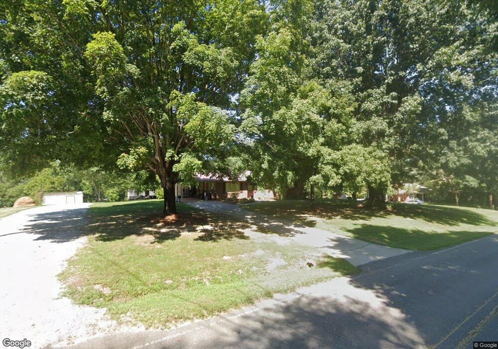
452 Wiggins Rd Mooresville, NC 28115
Estimated Value: $233,000 - $273,000
3
Beds
2
Baths
1,248
Sq Ft
$197/Sq Ft
Est. Value
About This Home
This home is located at 452 Wiggins Rd, Mooresville, NC 28115 and is currently estimated at $245,714, approximately $196 per square foot. 452 Wiggins Rd is a home located in Iredell County with nearby schools including East Mooresville Intermediate School, Park View Elementary School, and Mooresville Middle.
Ownership History
Date
Name
Owned For
Owner Type
Purchase Details
Closed on
Apr 8, 2020
Sold by
Beaver Dovie
Bought by
Smith Matthew and Smith Falon
Current Estimated Value
Purchase Details
Closed on
Nov 29, 2010
Sold by
Compton Vivian N and Compton Vivian M
Bought by
Beaver Larry and Beaver Dovie
Purchase Details
Closed on
Jun 1, 1959
Purchase Details
Closed on
Jun 1, 1901
Create a Home Valuation Report for This Property
The Home Valuation Report is an in-depth analysis detailing your home's value as well as a comparison with similar homes in the area
Home Values in the Area
Average Home Value in this Area
Purchase History
| Date | Buyer | Sale Price | Title Company |
|---|---|---|---|
| Smith Matthew | -- | None Available | |
| Beaver Larry | $120,800 | None Available | |
| -- | -- | -- | |
| -- | -- | -- |
Source: Public Records
Tax History Compared to Growth
Tax History
| Year | Tax Paid | Tax Assessment Tax Assessment Total Assessment is a certain percentage of the fair market value that is determined by local assessors to be the total taxable value of land and additions on the property. | Land | Improvement |
|---|---|---|---|---|
| 2024 | $1,360 | $174,540 | $70,930 | $103,610 |
| 2023 | $1,360 | $174,540 | $70,930 | $103,610 |
| 2022 | $1,083 | $125,900 | $64,480 | $61,420 |
| 2021 | $1,079 | $125,900 | $64,480 | $61,420 |
| 2020 | $1,079 | $125,900 | $64,480 | $61,420 |
| 2019 | $1,066 | $125,900 | $64,480 | $61,420 |
| 2018 | $792 | $94,570 | $38,690 | $55,880 |
| 2017 | $792 | $94,570 | $38,690 | $55,880 |
| 2016 | $792 | $94,570 | $38,690 | $55,880 |
| 2015 | $792 | $94,570 | $38,690 | $55,880 |
| 2014 | $782 | $98,710 | $38,690 | $60,020 |
Source: Public Records
Map
Nearby Homes
- 143 Jentri Way
- 126 Jentri Way Unit 19
- Daffodil Plan at Brownstone Ridge
- Gardenia Plan at Brownstone Ridge
- Kensington Plan at Brownstone Ridge
- Townsend Plan at Brownstone Ridge
- Bridgeport Plan at Brownstone Ridge
- 132 Kepli Way
- 121 Jentri Way
- 113 Jentri Way
- 114 Jentri Way
- 112 Jentri Way
- 105 Jentri Way
- 223 Scottish Dr
- 139 Gleniris Trail
- 107 Delaney Ln
- 126 Northbridge Dr
- 1327 Mount Ulla Hwy
- 175 Savannah Crossing Dr
- 1211 Mt Ulla Hwy None