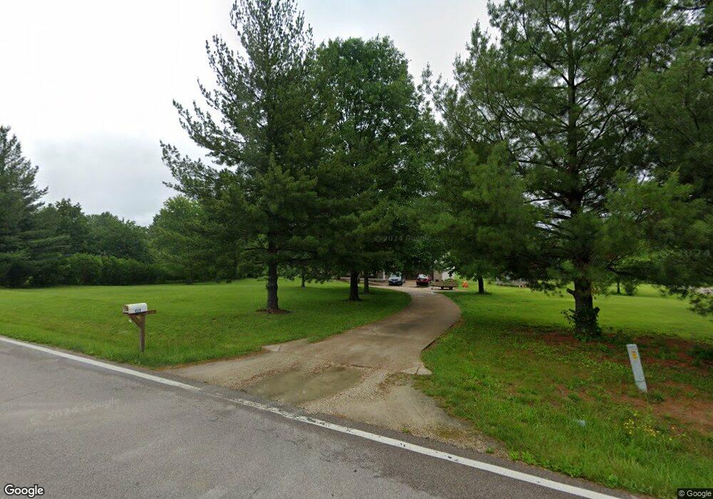
4520 Highway 185 New Haven, MO 63068
Estimated Value: $380,000 - $470,000
3
Beds
1
Bath
1,788
Sq Ft
$241/Sq Ft
Est. Value
About This Home
This home is located at 4520 Highway 185, New Haven, MO 63068 and is currently estimated at $430,529, approximately $240 per square foot. 4520 Highway 185 is a home located in Franklin County with nearby schools including Washington High School.
Ownership History
Date
Name
Owned For
Owner Type
Purchase Details
Closed on
Mar 21, 2022
Sold by
Janet Rudd
Bought by
Chesnut Jacob Glenn and Chesnut Danielle Nicole
Current Estimated Value
Home Financials for this Owner
Home Financials are based on the most recent Mortgage that was taken out on this home.
Original Mortgage
$302,512
Outstanding Balance
$283,397
Interest Rate
4.16%
Mortgage Type
New Conventional
Estimated Equity
$147,132
Purchase Details
Closed on
Jun 29, 2021
Sold by
Oglesby Brian D
Bought by
Rudd Janet
Purchase Details
Closed on
Aug 10, 2018
Sold by
Oglesby Tina L
Bought by
Oglesby Brian D
Create a Home Valuation Report for This Property
The Home Valuation Report is an in-depth analysis detailing your home's value as well as a comparison with similar homes in the area
Home Values in the Area
Average Home Value in this Area
Purchase History
| Date | Buyer | Sale Price | Title Company |
|---|---|---|---|
| Chesnut Jacob Glenn | -- | None Listed On Document | |
| Rudd Janet | -- | None Available | |
| Oglesby Brian D | -- | None Available |
Source: Public Records
Mortgage History
| Date | Status | Borrower | Loan Amount |
|---|---|---|---|
| Open | Chesnut Jacob Glenn | $302,512 |
Source: Public Records
Tax History Compared to Growth
Tax History
| Year | Tax Paid | Tax Assessment Tax Assessment Total Assessment is a certain percentage of the fair market value that is determined by local assessors to be the total taxable value of land and additions on the property. | Land | Improvement |
|---|---|---|---|---|
| 2024 | $2,360 | $40,727 | $0 | $0 |
| 2023 | $2,360 | $40,727 | $0 | $0 |
| 2022 | $2,245 | $40,426 | $0 | $0 |
| 2021 | $2,237 | $40,426 | $0 | $0 |
| 2020 | $2,091 | $36,440 | $0 | $0 |
| 2019 | $2,087 | $36,440 | $0 | $0 |
| 2018 | $2,036 | $35,260 | $0 | $0 |
| 2017 | $2,035 | $35,260 | $0 | $0 |
| 2016 | $1,849 | $32,756 | $0 | $0 |
| 2015 | $1,855 | $32,756 | $0 | $0 |
| 2014 | $1,887 | $33,336 | $0 | $0 |
Source: Public Records
Map
Nearby Homes
- 00 Hereford Park
- 136 Samson Ln
- 0 Walnut Woods Rd
- 3937 Lakeshore Dr
- 850 Aj Farm Ln
- 526 Saint Joseph Dr
- 5140 Saint Anns Rd
- 0 Highway 185
- 3932 Boeuf Lutheran Rd
- Hwy Aj
- 000 Highway Aj
- 5088 Highway Kk
- 130 Alferman Lake Rd
- 1891 4 Mile Rd
- 6389 Highway Aj
- 3739 Kopp Ln
- 130 Rolling Hills Dr
- 0 Marlie Rd Unit MIS25036024
- 0 Marlie Rd Unit 23668855
- 0 Marlie Rd Unit MIS25035311
- 4749 Highway 185
- 4723 Highway 185
- 4526 Highway 185
- 4515 Highway 185
- 4537 Highway 185
- 4506 Highway 185
- 4513 Highway 185
- 4563 Highway 185
- 4575 Highway 185
- 4538 Highway 185
- 4562 Highway 185
- 15 Hwy 185 + -Acres
- 15+/-Acres Missouri 185
- 1967 Lyon Rd
- 1951 Lyon Rd
- 4498 Highway 185
- 143 Venue Ln
- 1962 Lyon Rd
- 1964 Lyon Rd
- 1950 Lyon Rd