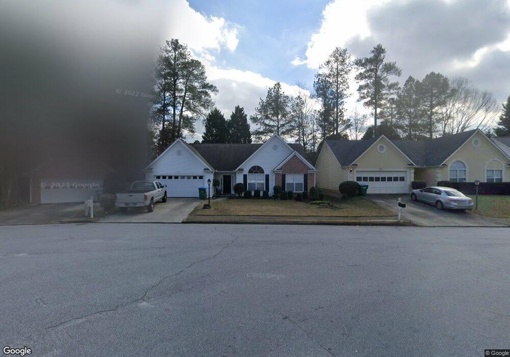
4520 Millerbrook Ct Duluth, GA 30096
Estimated Value: $358,990 - $414,000
3
Beds
2
Baths
1,644
Sq Ft
$238/Sq Ft
Est. Value
About This Home
This home is located at 4520 Millerbrook Ct, Duluth, GA 30096 and is currently estimated at $390,998, approximately $237 per square foot. 4520 Millerbrook Ct is a home located in Gwinnett County with nearby schools including Berkeley Lake Elementary School, Duluth Middle School, and Duluth High School.
Ownership History
Date
Name
Owned For
Owner Type
Purchase Details
Closed on
Jul 15, 1998
Sold by
Cesario Kenneth J and Cesario Connie Y
Bought by
Lee Misook
Current Estimated Value
Home Financials for this Owner
Home Financials are based on the most recent Mortgage that was taken out on this home.
Original Mortgage
$95,000
Outstanding Balance
$18,433
Interest Rate
7.02%
Mortgage Type
New Conventional
Estimated Equity
$372,565
Purchase Details
Closed on
Jan 26, 1996
Sold by
Old Norcross Investments Inc
Bought by
Cesario Kenneth J Connie Y
Create a Home Valuation Report for This Property
The Home Valuation Report is an in-depth analysis detailing your home's value as well as a comparison with similar homes in the area
Home Values in the Area
Average Home Value in this Area
Purchase History
| Date | Buyer | Sale Price | Title Company |
|---|---|---|---|
| Lee Misook | $150,000 | -- | |
| Cesario Kenneth J Connie Y | $140,600 | -- |
Source: Public Records
Mortgage History
| Date | Status | Borrower | Loan Amount |
|---|---|---|---|
| Open | Lee Misook | $95,000 | |
| Closed | Cesario Kenneth J Connie Y | $0 |
Source: Public Records
Tax History
| Year | Tax Paid | Tax Assessment Tax Assessment Total Assessment is a certain percentage of the fair market value that is determined by local assessors to be the total taxable value of land and additions on the property. | Land | Improvement |
|---|---|---|---|---|
| 2025 | $5,675 | $152,520 | $29,920 | $122,600 |
| 2024 | $5,531 | $146,760 | $33,200 | $113,560 |
| 2023 | $5,531 | $138,320 | $33,200 | $105,120 |
| 2022 | $4,262 | $111,880 | $24,000 | $87,880 |
| 2021 | $4,024 | $103,560 | $20,000 | $83,560 |
| 2020 | $3,833 | $97,640 | $20,000 | $77,640 |
| 2019 | $3,326 | $87,080 | $18,000 | $69,080 |
| 2018 | $3,346 | $87,600 | $18,000 | $69,600 |
| 2016 | $3,080 | $79,520 | $16,000 | $63,520 |
| 2015 | $2,823 | $71,240 | $16,000 | $55,240 |
| 2014 | $2,463 | $60,720 | $12,800 | $47,920 |
Source: Public Records
Map
Nearby Homes
- 4500 Millerbrook Ct
- 4574 Brook Farms Dr
- 4482 Claiborne Ct
- 4631 Leader Ln
- 4541 Claiborne Ct
- 4569 Iroquois Trail
- 4644 Driftwater Rd Unit 2
- 4578 Simpson Mill Ln
- 2431 Player Ct
- 3927 Centennial Trail Unit III
- 4242 Trail
- 4305 Morrison Lake Ct
- 4641 Broadwater Trail
- 2655 Cambridge Mews Dr
- 4757 Tiger Blvd
- 4298 Buckingham Place
- 4694 Fairway Rd
- 4870 Racquet Ct
- 4633 Elsinore Cir
- 2082 Montgomery Trail
- 4530 Millerbrook Ct
- 4540 Millerbrook Ct
- 4525 Millerbrook Ct
- 4545 Millerbrook Ct
- 2372 Hopkins Mill Rd
- 2372 Hopkins Mill Rd Unit 2
- 2372 Old Norcross Rd
- 4505 Millerbrook Ct
- 2372 Old Norcross Rd
- 4515 Millerbrook Ct
- 4514 Old Norcross Rd Unit 2
- 4514 Old Norcross Rd
- 2400 Millerbrook Dr
- 2410 Millerbrook Dr
- 2455 Millerbrook Dr
- 2420 Millerbrook Dr
- 4504 Old Norcross Rd Unit 2
- 4495 Old Norcross Rd
- 2475 Millerbrook Dr
- 2430 Millerbrook Dr
Your Personal Tour Guide
Ask me questions while you tour the home.