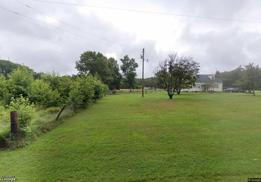
4520 Phillips Rd La Plata, MD 20646
Estimated Value: $392,000 - $694,000
--
Bed
2
Baths
2,992
Sq Ft
$171/Sq Ft
Est. Value
About This Home
This home is located at 4520 Phillips Rd, La Plata, MD 20646 and is currently estimated at $511,771, approximately $171 per square foot. 4520 Phillips Rd is a home located in Charles County with nearby schools including Dr. James Craik Elementary School, General Smallwood Middle School, and Maurice J. McDonough High School.
Ownership History
Date
Name
Owned For
Owner Type
Purchase Details
Closed on
Nov 1, 2024
Sold by
Baker William F and Baker Joyce E
Bought by
Baker Joyce E
Current Estimated Value
Purchase Details
Closed on
Sep 22, 1989
Sold by
Golden Jimmy E and Golden Robin J
Bought by
Baker William F and Baker Joyce E
Home Financials for this Owner
Home Financials are based on the most recent Mortgage that was taken out on this home.
Original Mortgage
$90,000
Interest Rate
10.03%
Purchase Details
Closed on
Jun 19, 1984
Sold by
Jones Robert L and Jones Callie E
Bought by
Golden Jimmy E and Golden Robin J
Purchase Details
Closed on
Feb 27, 1981
Sold by
Potomac Electric Power Co
Bought by
Jones Robert L and Jones Callie E
Create a Home Valuation Report for This Property
The Home Valuation Report is an in-depth analysis detailing your home's value as well as a comparison with similar homes in the area
Home Values in the Area
Average Home Value in this Area
Purchase History
| Date | Buyer | Sale Price | Title Company |
|---|---|---|---|
| Baker Joyce E | -- | None Listed On Document | |
| Baker Joyce E | -- | None Listed On Document | |
| Baker William F | $215,000 | -- | |
| Golden Jimmy E | $114,500 | -- | |
| Jones Robert L | $2,000 | -- |
Source: Public Records
Mortgage History
| Date | Status | Borrower | Loan Amount |
|---|---|---|---|
| Previous Owner | Baker William F | $90,000 |
Source: Public Records
Tax History Compared to Growth
Tax History
| Year | Tax Paid | Tax Assessment Tax Assessment Total Assessment is a certain percentage of the fair market value that is determined by local assessors to be the total taxable value of land and additions on the property. | Land | Improvement |
|---|---|---|---|---|
| 2025 | $11,214 | $370,500 | $132,000 | $238,500 |
| 2024 | $4,865 | $346,500 | $0 | $0 |
| 2023 | $4,585 | $322,500 | $0 | $0 |
| 2022 | $4,259 | $298,500 | $132,000 | $166,500 |
| 2021 | $3,985 | $289,733 | $0 | $0 |
| 2020 | $3,985 | $280,967 | $0 | $0 |
| 2019 | $3,854 | $272,200 | $132,000 | $140,200 |
| 2018 | $3,688 | $262,767 | $0 | $0 |
| 2017 | $3,556 | $253,333 | $0 | $0 |
| 2016 | -- | $243,900 | $0 | $0 |
| 2015 | $3,367 | $243,900 | $0 | $0 |
| 2014 | $3,367 | $243,900 | $0 | $0 |
Source: Public Records
Map
Nearby Homes
- 0 Pomfret Rd
- 0 Unknown Unit MDCH2043970
- 4865 Freeman Place
- 8251 Marshall Corner Rd
- 6705 Bumpy Oak Rd
- 4035 Ravine Dr
- 6640 Pomfret Rd
- 8210 Warren Dr
- 4509 Cavalier Ct
- 7532 Bumpy Oak Rd
- 0 Bumpy Oak Rd Unit MDCH2047212
- 3643 Foxhall Place
- 0 Robie Bensville Rd Unit MDCH2047354
- 3667 Foxhall Place
- 8201 Bishopsgate Ln
- 4609 Queens Grove St
- 4387 Lady Trisha Ct
- 8812 Regent Ct
- 3735 Hastings Ct
- 7710 Bumpy Oak Rd
- 4535 Phillips Rd
- 4555 Phillips Rd
- 4570 Phillips Rd
- 4585 Phillips Rd
- 4465 Phillips Rd
- 7425 Pomfret Rd
- 7415 Pomfret Rd
- 4605 Phillips Rd
- 0 Unknown Phillips Rd
- 0 Phillips Rd
- 7395 Pomfret Rd
- 7545 Pomfret Rd
- 4590 Phillips Rd
- 7410 Pomfret Rd
- 7390 Pomfret Rd
- 4605 Brierwood Rd
- 7550 Highview Place
- 4655 Brierwood Rd
- 7600 Highview Place
- 4660 Phillips Rd