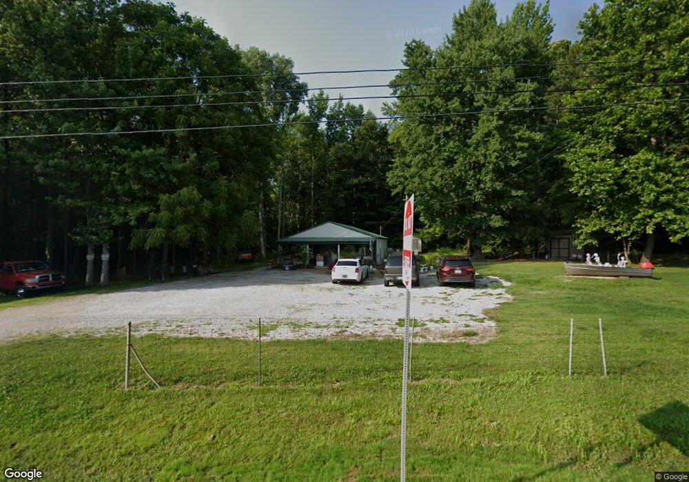
4520 Us Highway 60 W Lewisport, KY 42351
Estimated Value: $79,231 - $200,000
--
Bed
1
Bath
1,200
Sq Ft
$126/Sq Ft
Est. Value
About This Home
This home is located at 4520 Us Highway 60 W, Lewisport, KY 42351 and is currently estimated at $151,308, approximately $126 per square foot. 4520 Us Highway 60 W is a home located in Hancock County with nearby schools including Hancock County Middle School and Hancock County High School.
Ownership History
Date
Name
Owned For
Owner Type
Purchase Details
Closed on
Oct 1, 1973
Bought by
Crowe Mildred L
Current Estimated Value
Create a Home Valuation Report for This Property
The Home Valuation Report is an in-depth analysis detailing your home's value as well as a comparison with similar homes in the area
Home Values in the Area
Average Home Value in this Area
Purchase History
| Date | Buyer | Sale Price | Title Company |
|---|---|---|---|
| Crowe Mildred L | -- | -- |
Source: Public Records
Tax History Compared to Growth
Tax History
| Year | Tax Paid | Tax Assessment Tax Assessment Total Assessment is a certain percentage of the fair market value that is determined by local assessors to be the total taxable value of land and additions on the property. | Land | Improvement |
|---|---|---|---|---|
| 2024 | $386 | $37,200 | $0 | $0 |
| 2023 | $390 | $37,200 | $0 | $0 |
| 2022 | $387 | $37,200 | $0 | $0 |
| 2021 | $390 | $37,200 | $0 | $0 |
| 2020 | $376 | $37,200 | $0 | $0 |
| 2019 | $376 | $37,200 | $0 | $0 |
| 2018 | $361 | $37,200 | $0 | $0 |
| 2017 | $363 | $37,200 | $0 | $0 |
| 2016 | $349 | $37,200 | $0 | $0 |
| 2015 | $333 | $37,200 | $7,500 | $29,700 |
| 2014 | $333 | $37,200 | $7,500 | $29,700 |
| 2012 | $333 | $37,200 | $7,500 | $29,700 |
Source: Public Records
Map
Nearby Homes
- Lot 3 Abigail Ln
- Lot 4 Abigail Ln
- 375 Hillcrest Cir
- 270 Windsong Dr
- 2652 U S 60
- 590 Great Country Estates
- 3655 State Route 271 S
- 9585 River Rd
- 50 Lee Henderson Rd
- 735 Park Rd
- 421 9th St
- 922 Washington St
- Lot 1 Ridgetop Ln
- Lot 2 Ridgetop Ln
- 0 6th St
- 415 11th St
- 712 Tell St
- 539 11th St
- 922 Main St
- 1027 Franklin St
- 4340 Us Highway 60 W
- 0 U S 60
- 4175 Us Highway 60 W
- 245 Adair Rd
- 255 Adair Rd
- 455 Fred Hodges Rd
- 1220 John Pate Rd
- 165 Adair Rd
- 1250 John Pate Rd
- 135 Adair Rd
- 367 Adair Rd
- 370 Adair Rd
- 605 Hendricks Rd
- 45 Fred Hodges Rd
- 1240 John Pate Rd
- 415 Fred Hodges Rd
- 4990 Highway 60
- 405 Fred Hodges Rd
- 429 Fred Hodges Rd
- 435 Fred Hodges Rd