4521 Colf Rd Carleton, MI 48117
Estimated Value: $285,000 - $418,000
Studio
--
Bath
--
Sq Ft
609,840
Sq Ft
About This Home
This home is located at 4521 Colf Rd, Carleton, MI 48117 and is currently estimated at $338,664. 4521 Colf Rd is a home located in Monroe County with nearby schools including Airport Senior High School and Carleton Community Baptist.
Ownership History
Date
Name
Owned For
Owner Type
Purchase Details
Closed on
Sep 24, 2021
Sold by
Stritt Dane and Stritt Amber
Bought by
Stritt Dane and Stritt Amber
Current Estimated Value
Home Financials for this Owner
Home Financials are based on the most recent Mortgage that was taken out on this home.
Original Mortgage
$200,000
Outstanding Balance
$181,985
Interest Rate
2.8%
Mortgage Type
New Conventional
Estimated Equity
$156,679
Purchase Details
Closed on
Apr 13, 2020
Sold by
Stritt Laurie A and Estate Of Phyllis W Duliban
Bought by
Stritt Dane and Rafko Amber
Home Financials for this Owner
Home Financials are based on the most recent Mortgage that was taken out on this home.
Original Mortgage
$198,887
Interest Rate
3.2%
Mortgage Type
New Conventional
Create a Home Valuation Report for This Property
The Home Valuation Report is an in-depth analysis detailing your home's value as well as a comparison with similar homes in the area
Purchase History
| Date | Buyer | Sale Price | Title Company |
|---|---|---|---|
| Stritt Dane | -- | Bchh Inc | |
| Stritt Dane | $206,100 | Lawyers Title Agcy Of Monroe |
Source: Public Records
Mortgage History
| Date | Status | Borrower | Loan Amount |
|---|---|---|---|
| Open | Stritt Dane | $200,000 | |
| Closed | Stritt Dane | $198,887 |
Source: Public Records
Tax History
| Year | Tax Paid | Tax Assessment Tax Assessment Total Assessment is a certain percentage of the fair market value that is determined by local assessors to be the total taxable value of land and additions on the property. | Land | Improvement |
|---|---|---|---|---|
| 2025 | $1,104 | $166,850 | $166,850 | $0 |
| 2024 | $1,071 | $149,950 | $0 | $0 |
| 2023 | $1,020 | $130,100 | $0 | $0 |
| 2022 | $3,204 | $130,100 | $0 | $0 |
| 2021 | $3,143 | $120,050 | $0 | $0 |
| 2020 | $3,133 | $103,050 | $0 | $0 |
| 2019 | $3,131 | $103,050 | $0 | $0 |
| 2018 | $3,093 | $98,100 | $0 | $0 |
| 2017 | $2,895 | $98,100 | $0 | $0 |
| 2016 | $2,894 | $87,300 | $0 | $0 |
| 2015 | $2,840 | $78,900 | $0 | $0 |
| 2014 | $2,840 | $78,900 | $0 | $0 |
| 2013 | $1,705 | $77,000 | $0 | $0 |
Source: Public Records
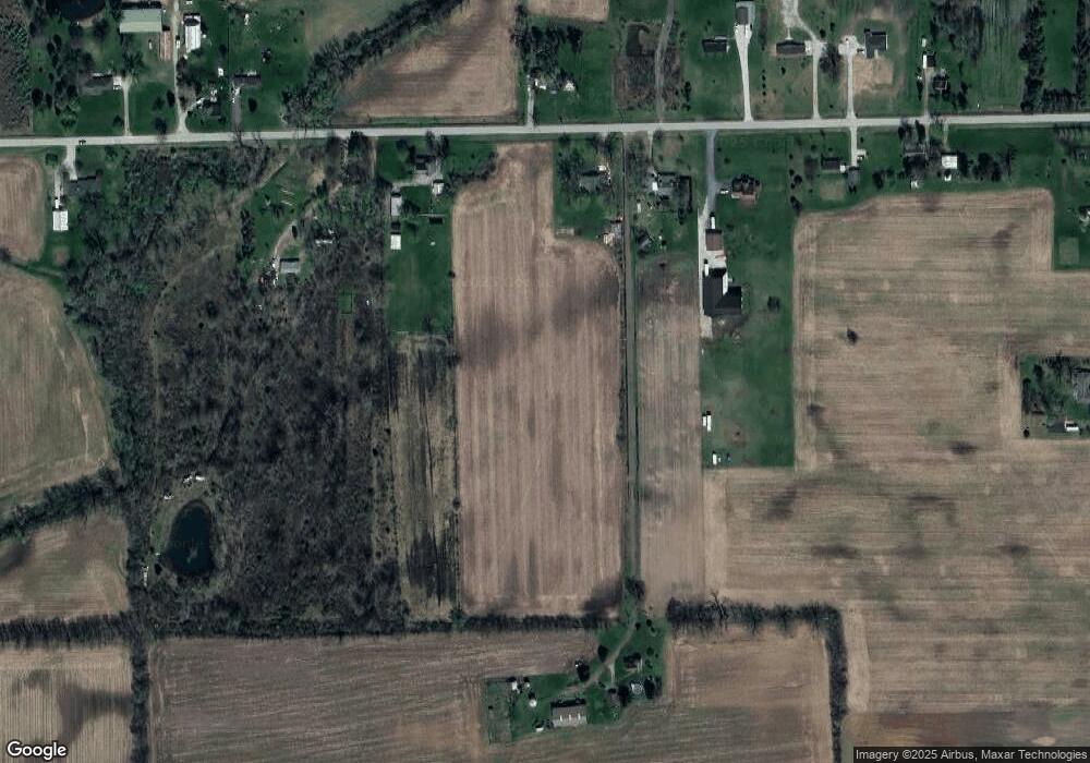
Map
Nearby Homes
- 13680 Martinsville Rd
- 13498 Exeter Rd
- 28710 Sumpter Rd
- 0 Carleton West Rd
- 26700 Martinsville Rd
- 12259 Eldora St
- 12464 Maxwell Rd
- 1980 Oakville Waltz Rd
- 12850 Crane St
- 26055 Martinsville Rd
- 12361 Spencer Ln
- 28503 Margaret Ln Unit 1
- 1405 Cedarcrest Dr
- 12751 Jones St
- 43001 Willow Rd
- 0 Oakville Waltz Rd Unit G50038710
- 27125 Delos Rd
- 0 Hivon Rd
- 25330 Carleton West Rd
- 36505 Bismark Rd
Your Personal Tour Guide
Ask me questions while you tour the home.