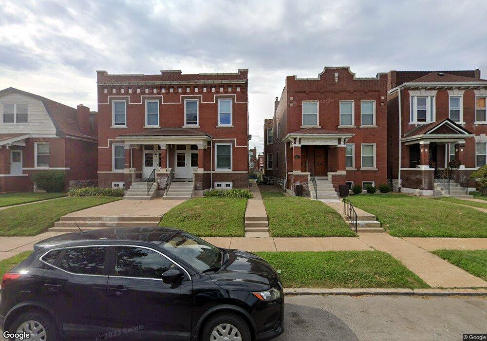
4521 Harris Ave Saint Louis, MO 63115
O'Fallon NeighborhoodEstimated Value: $76,000 - $107,000
--
Bed
2
Baths
2,528
Sq Ft
$36/Sq Ft
Est. Value
About This Home
This home is located at 4521 Harris Ave, Saint Louis, MO 63115 and is currently estimated at $92,006, approximately $36 per square foot. 4521 Harris Ave is a home located in St. Louis City with nearby schools including Hickey Elementary School, Yeatman-Liddell Middle School, and Vashon High School.
Ownership History
Date
Name
Owned For
Owner Type
Purchase Details
Closed on
May 29, 2003
Sold by
Va
Bought by
Jones Teresa L
Current Estimated Value
Home Financials for this Owner
Home Financials are based on the most recent Mortgage that was taken out on this home.
Original Mortgage
$73,920
Outstanding Balance
$32,075
Interest Rate
5.65%
Mortgage Type
FHA
Estimated Equity
$59,931
Purchase Details
Closed on
Jan 8, 2003
Sold by
Mcbride Byron K
Bought by
Va
Create a Home Valuation Report for This Property
The Home Valuation Report is an in-depth analysis detailing your home's value as well as a comparison with similar homes in the area
Home Values in the Area
Average Home Value in this Area
Purchase History
| Date | Buyer | Sale Price | Title Company |
|---|---|---|---|
| Jones Teresa L | -- | -- | |
| Va | -- | -- |
Source: Public Records
Mortgage History
| Date | Status | Borrower | Loan Amount |
|---|---|---|---|
| Open | Jones Teresa L | $73,920 | |
| Closed | Jones Teresa L | $2,500 |
Source: Public Records
Tax History Compared to Growth
Tax History
| Year | Tax Paid | Tax Assessment Tax Assessment Total Assessment is a certain percentage of the fair market value that is determined by local assessors to be the total taxable value of land and additions on the property. | Land | Improvement |
|---|---|---|---|---|
| 2025 | $359 | $4,090 | $460 | $3,630 |
| 2024 | $342 | $3,950 | $460 | $3,490 |
| 2023 | $342 | $3,950 | $460 | $3,490 |
| 2022 | $349 | $3,880 | $460 | $3,420 |
| 2021 | $348 | $3,880 | $460 | $3,420 |
| 2020 | $346 | $3,880 | $460 | $3,420 |
| 2019 | $345 | $3,880 | $460 | $3,420 |
| 2018 | $355 | $3,880 | $460 | $3,420 |
| 2017 | $349 | $3,880 | $460 | $3,420 |
| 2016 | $407 | $4,520 | $860 | $3,670 |
| 2015 | $371 | $4,530 | $860 | $3,670 |
| 2014 | $425 | $4,530 | $860 | $3,670 |
| 2013 | -- | $5,250 | $860 | $4,390 |
Source: Public Records
Map
Nearby Homes
- 4210 E Carter Ave
- 4454 Holly Ave
- 4450 Holly Ave
- 4535 Holly Ave
- 4550 Adelaide Ave
- 4537 Clarence Ave
- 4419 Holly Ave
- 4219 Red Bud Ave
- 4648 Pope Ave
- 4610 Pope Ave
- 4608 Pope Ave
- 4402 Clarence Ave
- 4224 Penrose St
- 4253 Holly Ave
- 4237 Holly Ave
- 4142 E Penrose St
- 2032 E Adelaide Ave
- 4110 Red Bud Ave
- 4356 College Ave
- 1912 E Adelaide Ave
- 4525 Harris Ave
- 4515 Harris Ave
- 4527 Harris Ave
- 4511 Harris Ave
- 4531 Harris Ave
- 4535 Harris Ave
- 4507 Harris Ave
- 4537 Harris Ave
- 4518 Red Bud Ave
- 4505 Harris Ave
- 4522 Red Bud Ave
- 4516 Red Bud Ave
- 4526 Red Bud Ave
- 4541 Harris Ave
- 4512 Red Bud Ave
- 4530 Red Bud Ave
- 4520 Harris Ave
- 4510 Red Bud Ave
- 4518 Harris Ave
- 4501 Harris Ave