4521 Roop Rd Mount Airy, MD 21771
Estimated Value: $490,000 - $576,000
--
Bed
2
Baths
1,255
Sq Ft
$418/Sq Ft
Est. Value
About This Home
This home is located at 4521 Roop Rd, Mount Airy, MD 21771 and is currently estimated at $525,201, approximately $418 per square foot. 4521 Roop Rd is a home located in Carroll County with nearby schools including Winfield Elementary School, Mount Airy Middle School, and South Carroll High School.
Ownership History
Date
Name
Owned For
Owner Type
Purchase Details
Closed on
Apr 15, 2005
Sold by
Lewis Jason A
Bought by
Parris Thomas D
Current Estimated Value
Purchase Details
Closed on
Apr 1, 2004
Sold by
Everhart Robert E
Bought by
Lewis Jason A and Printz Tammi M
Purchase Details
Closed on
Feb 9, 2000
Sold by
Everhart Robert E
Bought by
Everhart Robert E and Everhart Kimberly L
Purchase Details
Closed on
Dec 10, 1999
Sold by
Mcgraw Paul Jeffrey
Bought by
Everhart Robert E
Create a Home Valuation Report for This Property
The Home Valuation Report is an in-depth analysis detailing your home's value as well as a comparison with similar homes in the area
Home Values in the Area
Average Home Value in this Area
Purchase History
| Date | Buyer | Sale Price | Title Company |
|---|---|---|---|
| Parris Thomas D | $409,000 | -- | |
| Lewis Jason A | $367,650 | -- | |
| Everhart Robert E | -- | -- | |
| Everhart Robert E | $188,000 | -- |
Source: Public Records
Tax History Compared to Growth
Tax History
| Year | Tax Paid | Tax Assessment Tax Assessment Total Assessment is a certain percentage of the fair market value that is determined by local assessors to be the total taxable value of land and additions on the property. | Land | Improvement |
|---|---|---|---|---|
| 2025 | $4,015 | $385,333 | $0 | $0 |
| 2024 | $4,015 | $358,300 | $190,900 | $167,400 |
| 2023 | $3,826 | $340,400 | $0 | $0 |
| 2022 | $3,645 | $322,500 | $0 | $0 |
| 2021 | $7,124 | $304,600 | $143,200 | $161,400 |
| 2020 | $3,474 | $302,100 | $0 | $0 |
| 2019 | $3,445 | $299,600 | $0 | $0 |
| 2018 | $3,387 | $297,100 | $143,200 | $153,900 |
| 2017 | $3,387 | $297,100 | $0 | $0 |
| 2016 | -- | $297,100 | $0 | $0 |
| 2015 | -- | $299,900 | $0 | $0 |
| 2014 | -- | $299,900 | $0 | $0 |
Source: Public Records
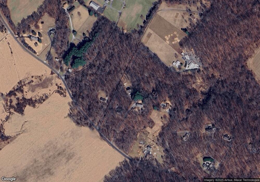
Map
Nearby Homes
- 2990 Honeywood Dr
- 4828 Ridge Rd
- 4417 Buffalo Rd
- 4328 Ridge Rd Unit 13
- 4950 Crocus Rd
- 5134 Perry Rd
- 3870 Roop Rd
- 2613 Liberty Rd
- 5307 Pommel Dr
- 3720 Buffalo Rd
- 3816 A Jim Smith Ln
- 2210 Skylark Dr
- 3008 Arapaho Ct
- 5345 Pommel Dr
- 15602 Wildrose Ct
- 7309 Talbot Run Rd
- 3174 Cardinal Dr
- 0 Cabbage Spring Rd
- 3319 Mail Rd
- 3204 Hooper Rd