4522 Moses Dr Port Huron, MI 48060
Estimated Value: $277,000 - $310,000
--
Bed
--
Bath
1,566
Sq Ft
$185/Sq Ft
Est. Value
About This Home
This home is located at 4522 Moses Dr, Port Huron, MI 48060 and is currently estimated at $289,915, approximately $185 per square foot. 4522 Moses Dr is a home located in St. Clair County with nearby schools including Michigamme Elementary School, Central Middle School, and Port Huron High School.
Create a Home Valuation Report for This Property
The Home Valuation Report is an in-depth analysis detailing your home's value as well as a comparison with similar homes in the area
Home Values in the Area
Average Home Value in this Area
Tax History Compared to Growth
Tax History
| Year | Tax Paid | Tax Assessment Tax Assessment Total Assessment is a certain percentage of the fair market value that is determined by local assessors to be the total taxable value of land and additions on the property. | Land | Improvement |
|---|---|---|---|---|
| 2025 | $2,213 | $148,500 | $0 | $0 |
| 2024 | $1,165 | $139,200 | $0 | $0 |
| 2023 | $1,075 | $116,200 | $0 | $0 |
| 2022 | $1,986 | $103,200 | $0 | $0 |
| 2021 | $2,003 | $98,300 | $0 | $0 |
| 2020 | $2,003 | $87,600 | $0 | $87,600 |
| 2019 | $1,975 | $74,200 | $0 | $0 |
| 2018 | $1,940 | $74,200 | $0 | $0 |
| 2017 | $1,907 | $73,900 | $0 | $0 |
| 2016 | $882 | $73,900 | $0 | $0 |
| 2015 | -- | $55,500 | $0 | $55,500 |
| 2014 | -- | $50,900 | $50,900 | $0 |
| 2013 | -- | $48,900 | $0 | $0 |
Source: Public Records
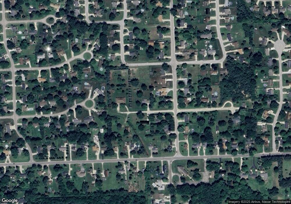
Map
Nearby Homes
- 4608 Huntington Dr
- 3230 Range Rd
- 4361 Peck Rd
- 4460 Cambridge Dr
- 3152 Spruce Dr
- 3115 Spruce Dr
- 4224 Atkins Rd
- 4911 Castlewood Dr
- 2863 Beach Rd
- 3345 Beach Rd
- 4570 Atkins Rd
- 0 Lapeer Rd Unit 50137357
- 4380 Lapeer Rd
- 3993 N River Rd
- 3971 N River Rd
- 4167 N River Rd
- 0000 W Water St
- 4224 N River Rd
- 3580 Angus Rd
- 3610 State Rd