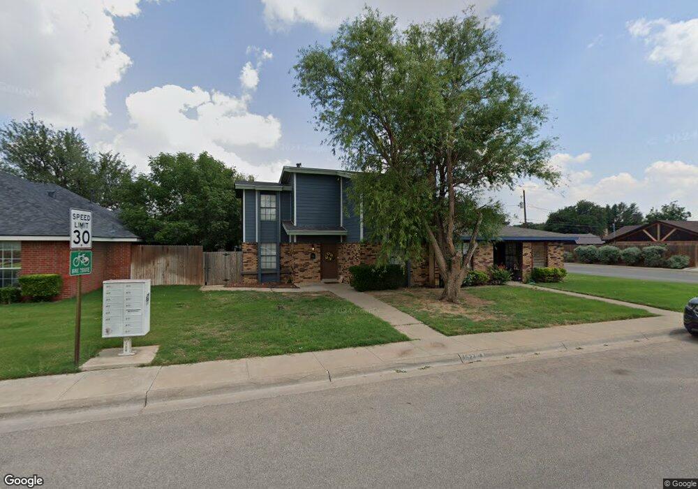
4523 Saint Andrews Dr Unit B Midland, TX 79707
Fairmont Park NeighborhoodEstimated Value: $189,124 - $260,000
--
Bed
--
Bath
1,130
Sq Ft
$212/Sq Ft
Est. Value
About This Home
This home is located at 4523 Saint Andrews Dr Unit B, Midland, TX 79707 and is currently estimated at $239,281, approximately $211 per square foot. 4523 Saint Andrews Dr Unit B is a home located in Midland County with nearby schools including Parker Elementary School, Abell Junior High School, and Trinity School of Midland.
Ownership History
Date
Name
Owned For
Owner Type
Purchase Details
Closed on
Feb 22, 2019
Sold by
Marlowe Willis Chris and Marlowe Willis Ann
Bought by
Billingsley Randy
Current Estimated Value
Purchase Details
Closed on
Jul 11, 2005
Sold by
Evans I Development Ltd
Bought by
Marjean Martin Storey Living Trust
Purchase Details
Closed on
Aug 3, 2001
Sold by
W A Unlimited
Bought by
Willis Christopher J
Purchase Details
Closed on
May 1, 1983
Bought by
Willis Christopher J
Create a Home Valuation Report for This Property
The Home Valuation Report is an in-depth analysis detailing your home's value as well as a comparison with similar homes in the area
Home Values in the Area
Average Home Value in this Area
Purchase History
| Date | Buyer | Sale Price | Title Company |
|---|---|---|---|
| Billingsley Randy | -- | Stewart Title Co | |
| Marjean Martin Storey Living Trust | -- | None Available | |
| Willis Christopher J | -- | -- | |
| Willis Christopher J | -- | -- |
Source: Public Records
Tax History Compared to Growth
Tax History
| Year | Tax Paid | Tax Assessment Tax Assessment Total Assessment is a certain percentage of the fair market value that is determined by local assessors to be the total taxable value of land and additions on the property. | Land | Improvement |
|---|---|---|---|---|
| 2025 | $2,515 | $160,400 | $11,310 | $149,090 |
| 2024 | $2,518 | $165,820 | $11,310 | $154,510 |
| 2023 | $2,555 | $170,500 | $11,310 | $159,190 |
| 2022 | $2,475 | $158,390 | $11,310 | $147,080 |
| 2021 | $2,688 | $154,280 | $11,310 | $142,970 |
| 2020 | $2,594 | $149,690 | $11,310 | $138,380 |
| 2019 | $2,834 | $149,690 | $11,310 | $138,380 |
| 2018 | $2,384 | $122,610 | $11,310 | $111,300 |
| 2017 | $2,396 | $123,210 | $11,310 | $111,900 |
| 2016 | $2,362 | $121,250 | $11,310 | $109,940 |
| 2015 | -- | $104,560 | $11,310 | $93,250 |
| 2014 | -- | $85,670 | $0 | $0 |
Source: Public Records
Map
Nearby Homes
- 4529 Gleneagles Dr
- 4521 Gleneagles Dr
- 3502 Canemont Dr
- 3804 Faircircle
- 3407 Dentcrest Dr
- 3205 Dentcrest Dr Unit B
- 3205 Dentcrest Dr Unit A
- 3220 Preston Dr
- 4304 Downing Ave
- 4209 Merrill Dr
- 4207 Merrill Dr
- 3210 Preston Dr
- 3402 Pinemont Dr
- 4315 Lehigh Dr
- 4310 Nelson Rd
- 4101 Gleneagles Dr
- 3231 Whittle Way
- 4010 Livingston St
- 4206 Nelson Rd
- 4003 Compton Dr
- 4523 Saint Andrews Dr Unit A
- 4521 Saint Andrews Ct
- 4521 Saint Andrews Dr
- 4536 Gleneagles Dr
- 4601 Saint Andrews Dr
- 4532 Gleneagles Dr
- 4524 Saint Andrews Dr Unit A
- 4524 Saint Andrews Dr
- 4519 Saint Andrews Dr
- 4600 Gleneagles Dr
- 4522 Saint Andrews Dr
- 4603 Saint Andrews Dr
- 3701 Mark Ln
- 4528 Gleneagles Dr
- 4517 Saint Andrews Dr
- 4517 Saint Andrews Dr
- 4602 Gleneagles Dr
- 4520 Saint Andrews Dr
- 3703 Mark Ln
- 4533 Gleneagles Dr