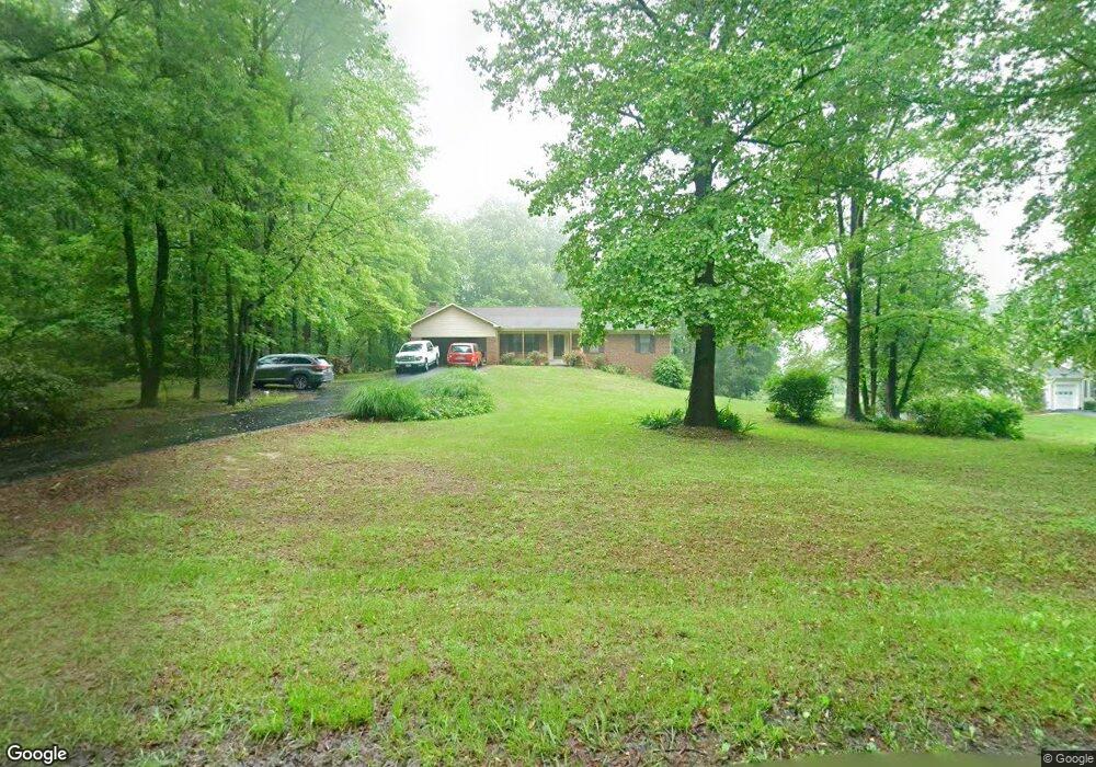
4523 Winding Brooke Ln Lothian, MD 20711
Estimated Value: $430,000 - $643,000
Studio
2
Baths
1,624
Sq Ft
$312/Sq Ft
Est. Value
About This Home
This home is located at 4523 Winding Brooke Ln, Lothian, MD 20711 and is currently estimated at $506,832, approximately $312 per square foot. 4523 Winding Brooke Ln is a home located in Anne Arundel County with nearby schools including Lothian Elementary School, Southern Middle School, and Southern High School.
Ownership History
Date
Name
Owned For
Owner Type
Purchase Details
Closed on
Jun 4, 2024
Sold by
Macdonald John A F
Bought by
John A F Macdonald Revocable Trust and Macdonald
Current Estimated Value
Purchase Details
Closed on
Jun 25, 1985
Bought by
Macdonald John A F and Macdonald Jessie M
Home Financials for this Owner
Home Financials are based on the most recent Mortgage that was taken out on this home.
Original Mortgage
$107,060
Interest Rate
12.05%
Create a Home Valuation Report for This Property
The Home Valuation Report is an in-depth analysis detailing your home's value as well as a comparison with similar homes in the area
Purchase History
| Date | Buyer | Sale Price | Title Company |
|---|---|---|---|
| John A F Macdonald Revocable Trust | -- | None Listed On Document | |
| Macdonald John A F | $120,800 | -- |
Source: Public Records
Mortgage History
| Date | Status | Borrower | Loan Amount |
|---|---|---|---|
| Previous Owner | Macdonald John A F | $107,060 |
Source: Public Records
Tax History
| Year | Tax Paid | Tax Assessment Tax Assessment Total Assessment is a certain percentage of the fair market value that is determined by local assessors to be the total taxable value of land and additions on the property. | Land | Improvement |
|---|---|---|---|---|
| 2025 | $3,408 | $422,933 | -- | -- |
| 2024 | $3,408 | $391,667 | $0 | $0 |
| 2023 | $3,287 | $360,400 | $182,000 | $178,400 |
| 2022 | $3,085 | $357,100 | $0 | $0 |
| 2020 | $2,955 | $350,500 | $182,000 | $168,500 |
| 2019 | $2,916 | $349,233 | $0 | $0 |
| 2018 | $3,528 | $347,967 | $0 | $0 |
| 2017 | $3,097 | $346,700 | $0 | $0 |
| 2016 | -- | $323,833 | $0 | $0 |
| 2015 | -- | $300,967 | $0 | $0 |
| 2014 | -- | $278,100 | $0 | $0 |
Source: Public Records
Map
Nearby Homes
- 5257 Ferry Branch Ln
- 997 Mount Zion Marlboro Rd
- 1218 Whittington Dr
- 1154 Mount Zion Marlboro Rd
- 402 Boones Dr
- 1168 Marlboro Rd
- 190 Boones Dr
- 623 Traveller Ct
- 415 Dutch Dr
- 460 Sarah Anne Dr
- 299 Rips Dr
- 92 Patuxent Mobile Estates
- 612 Traveller Ct
- 55 Patuxent Mobile Estates
- 6 Patuxent Mobile Estates
- 146 Patuxent Mobile Estate
- 76 Patuxent Mobile Estates
- 318 Ella Dr
- 5292 Moreland Rd
- 276 5th St
- 4527 Winding Brooke Ln
- 4515 Winding Brooke Ln
- 4519 Winding Brooke Ln
- 1000 Decesaris Dr
- 4514 Winding Brooke Ln
- 940 Decesaris Dr
- 4511 Winding Brooke Ln
- 936 Decesaris Dr
- 945 Decesaris Dr
- 941 Decesaris Dr
- 4507 Winding Brooke Ln
- 4600 Winding Brooke Ln
- 937 Decesaris Dr
- 1004 Decesaris Dr
- 4504 Winding Brooke Ln
- 932 Decesaris Dr
- 933 Decesaris Dr
- 928 Decesaris Dr
- 1003 Decesaris Dr
- 4500 Winding Brooke Ln
Your Personal Tour Guide
Ask me questions while you tour the home.