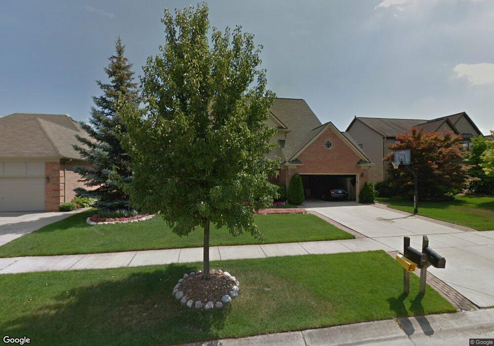
45233 Lothrop Rd Canton, MI 48188
Estimated Value: $536,700 - $616,000
4
Beds
3
Baths
2,714
Sq Ft
$217/Sq Ft
Est. Value
About This Home
This home is located at 45233 Lothrop Rd, Canton, MI 48188 and is currently estimated at $588,175, approximately $216 per square foot. 45233 Lothrop Rd is a home located in Wayne County with nearby schools including Bentley Elementary School, Canton High School, and Plymouth High School.
Ownership History
Date
Name
Owned For
Owner Type
Purchase Details
Closed on
Sep 8, 2017
Sold by
Sander Richard P and Sander Adrianne B
Bought by
Sander Richard P
Current Estimated Value
Purchase Details
Closed on
Jun 24, 1994
Sold by
Hms Lewiston Crescentini
Bought by
Sander Richard P and Sander Adrianne
Home Financials for this Owner
Home Financials are based on the most recent Mortgage that was taken out on this home.
Original Mortgage
$166,000
Interest Rate
8.61%
Mortgage Type
New Conventional
Create a Home Valuation Report for This Property
The Home Valuation Report is an in-depth analysis detailing your home's value as well as a comparison with similar homes in the area
Home Values in the Area
Average Home Value in this Area
Purchase History
| Date | Buyer | Sale Price | Title Company |
|---|---|---|---|
| Sander Richard P | -- | None Available | |
| Sander Richard P | $210,500 | -- |
Source: Public Records
Mortgage History
| Date | Status | Borrower | Loan Amount |
|---|---|---|---|
| Closed | Sander Richard P | $166,000 |
Source: Public Records
Tax History
| Year | Tax Paid | Tax Assessment Tax Assessment Total Assessment is a certain percentage of the fair market value that is determined by local assessors to be the total taxable value of land and additions on the property. | Land | Improvement |
|---|---|---|---|---|
| 2025 | $3,360 | $251,100 | $0 | $0 |
| 2024 | $3,264 | $231,000 | $0 | $0 |
| 2023 | $3,112 | $214,300 | $0 | $0 |
| 2022 | $6,735 | $190,800 | $0 | $0 |
| 2021 | $6,535 | $185,900 | $0 | $0 |
| 2020 | $6,455 | $180,000 | $0 | $0 |
| 2019 | $6,337 | $174,910 | $0 | $0 |
| 2018 | $2,645 | $168,050 | $0 | $0 |
| 2017 | $6,389 | $163,800 | $0 | $0 |
| 2016 | $5,755 | $159,300 | $0 | $0 |
| 2015 | $14,532 | $154,460 | $0 | $0 |
| 2013 | $14,183 | $148,100 | $0 | $0 |
| 2010 | -- | $134,860 | $59,400 | $75,460 |
Source: Public Records
Map
Nearby Homes
- 45169 Middlebury Ln
- 43935 Marne Ct
- 45246 Gerald Ct
- 407 Fairfield Ct
- 1550 Valentine Ct
- 43761 Yorktown St
- 290 Edington Cir Unit 62
- 298 Edington Cir Unit 32
- 241 Edington Cir
- 46501 Killarney Cir
- 215 Edington Cir
- 43880 Cherry Grove Ct W
- 321 Cherry Grove Rd
- 610 Cherry Grove Rd
- 2210 Woodmont Dr W
- 802 Cherry Stone Dr
- 1752 Thistle Dr
- 43935 Harsdale Dr
- 43552 Karli Ln
- 446 Cherry Stone Dr Unit 54
- 45243 Lothrop Rd
- 45225 Lothrop Rd
- 45193 Lothrop Rd
- 45261 Lothrop Rd
- 45234 Lothrop Rd
- 45226 Lothrop Rd
- 45244 Lothrop Rd
- 45277 Lothrop Rd Unit Bldg-Unit
- 45277 Lothrop Rd
- 45167 Lothrop Rd
- 45194 Lothrop Rd
- 45262 Lothrop Rd
- 45232 Thornhill Rd
- 45224 Thornhill Rd
- 45319 Lothrop Rd
- 45260 Thornhill Rd
- 45278 Lothrop Rd
- 45168 Lothrop Rd
- 45192 Thornhill Rd
- 45235 Middlebury Ln
Your Personal Tour Guide
Ask me questions while you tour the home.