Estimated Value: $427,000 - $978,432
3
Beds
5
Baths
2,096
Sq Ft
$296/Sq Ft
Est. Value
About This Home
This home is located at 4524 Highway B, Bland, MO 65014 and is currently estimated at $619,811, approximately $295 per square foot. 4524 Highway B is a home with nearby schools including Owensville High School.
Ownership History
Date
Name
Owned For
Owner Type
Purchase Details
Closed on
Mar 31, 2022
Sold by
Christopher Frye
Bought by
Luecke Properties Llc
Current Estimated Value
Create a Home Valuation Report for This Property
The Home Valuation Report is an in-depth analysis detailing your home's value as well as a comparison with similar homes in the area
Purchase History
| Date | Buyer | Sale Price | Title Company |
|---|---|---|---|
| Luecke Properties Llc | -- | None Listed On Document |
Source: Public Records
Tax History
| Year | Tax Paid | Tax Assessment Tax Assessment Total Assessment is a certain percentage of the fair market value that is determined by local assessors to be the total taxable value of land and additions on the property. | Land | Improvement |
|---|---|---|---|---|
| 2025 | $3,255 | $61,500 | $0 | $0 |
| 2024 | $3,066 | $50,340 | $0 | $0 |
| 2023 | $3,064 | $230 | $0 | $0 |
| 2022 | $3,004 | $54,230 | $0 | $0 |
| 2021 | $2,885 | $54,229 | $2,549 | $51,680 |
| 2020 | $2,680 | $48,060 | $0 | $0 |
| 2019 | $2,673 | $48,060 | $0 | $0 |
| 2018 | $2,590 | $48,060 | $0 | $0 |
| 2017 | $2,587 | $48,040 | $0 | $0 |
| 2016 | $2,589 | $48,060 | $0 | $0 |
| 2015 | -- | $48,060 | $0 | $0 |
| 2014 | -- | $0 | $0 | $0 |
| 2013 | -- | $0 | $0 | $0 |
Source: Public Records
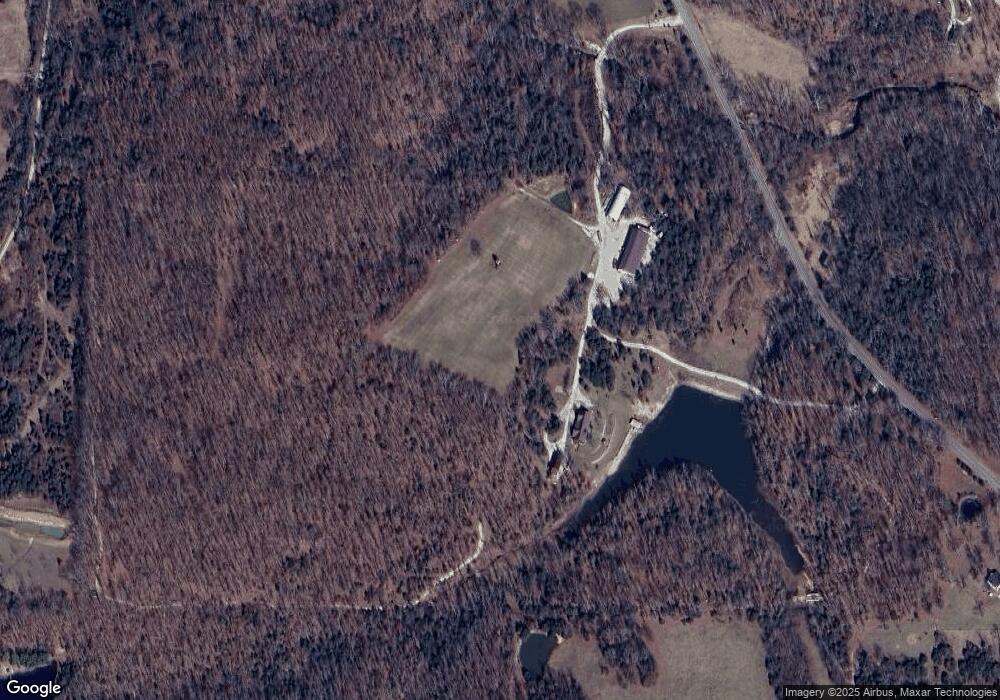
Map
Nearby Homes
- 1008 Lois Ln
- 4386 Durbin Rd
- 54 ACRES Trainer
- 00 Elk Head Rd
- 4621 Elk Head Rd
- 18 ACRES Elk Head Rd
- 30 ACRES Elk Head Rd
- 0 Oak Forest Rd
- 000 Oak Forest Rd
- 4738 Gorrell Rd
- 4050 Highway B
- 736 Westbrook Rd
- Tbd Maries Road 407
- 25260 County Road 406
- 0 Rd Unit MIS26009762
- 0 Holt Rd Unit MIS25061744
- 19090 State Route B
- 5975 Jakes Prairie Rd
- 300 Railroad Ave
- 1867 Hecker Rd
- 4543 Highway B
- 4519 Baxter Rd
- 4510 Baxter Rd
- 4501 Baxter Rd
- 32 Van Horn Rd
- 4500 Baxter Rd
- 4497 Highway B
- 0 Van Horn Rd
- 4554 Baxter Rd
- 1207 Van Horn Rd
- 4483 Highway B
- 1271 Van Horn Rd
- 4562 Baxter Rd
- 4578 Highway B
- 4578 Baxter Rd
- 4415 Maries Road 426
- 10771 S County Road 426
- 10761 S County Road 426
- 10761 S County Road 426
- 4586 Baxter Rd
Your Personal Tour Guide
Ask me questions while you tour the home.