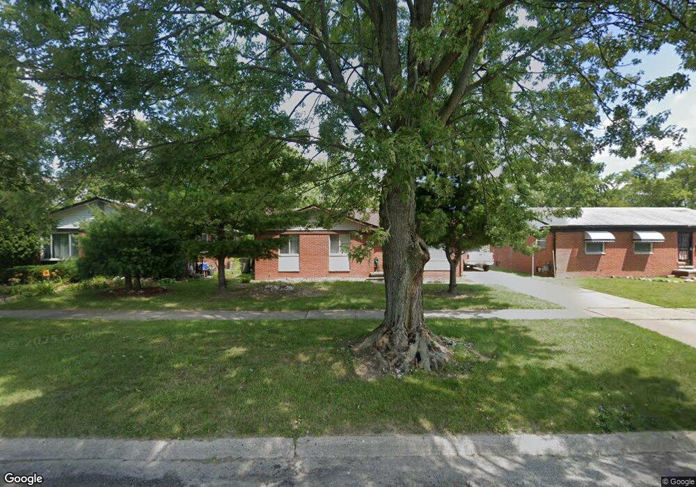
4525 John Daly St Inkster, MI 48141
Estimated Value: $108,000 - $272,039
--
Bed
1
Bath
1,220
Sq Ft
$127/Sq Ft
Est. Value
About This Home
This home is located at 4525 John Daly St, Inkster, MI 48141 and is currently estimated at $155,510, approximately $127 per square foot. 4525 John Daly St is a home located in Wayne County with nearby schools including West Village Academy, Quest Charter Academy, and Peterson-Warren Academy.
Ownership History
Date
Name
Owned For
Owner Type
Purchase Details
Closed on
Nov 2, 2021
Sold by
Marshall William
Bought by
Wey Middlebrook Carl
Current Estimated Value
Purchase Details
Closed on
Mar 25, 2021
Sold by
Gupta Metro Properties Ii Llc
Bought by
Marshall William
Purchase Details
Closed on
Feb 10, 2015
Sold by
Gupta Kristine K
Bought by
Gupta Metro Properties Ii Llc
Purchase Details
Closed on
Jun 21, 2012
Sold by
Best Dorcus and Hollis Lowell
Bought by
Wells Fargo Bank Na
Create a Home Valuation Report for This Property
The Home Valuation Report is an in-depth analysis detailing your home's value as well as a comparison with similar homes in the area
Home Values in the Area
Average Home Value in this Area
Purchase History
| Date | Buyer | Sale Price | Title Company |
|---|---|---|---|
| Wey Middlebrook Carl | $30,000 | Michigan Title Ins Agcy Inc | |
| Marshall William | $25,000 | Michigan Title Ins Agcy Inc | |
| Gupta Metro Properties Ii Llc | -- | None Available | |
| Wells Fargo Bank Na | $13,500 | None Available |
Source: Public Records
Tax History Compared to Growth
Tax History
| Year | Tax Paid | Tax Assessment Tax Assessment Total Assessment is a certain percentage of the fair market value that is determined by local assessors to be the total taxable value of land and additions on the property. | Land | Improvement |
|---|---|---|---|---|
| 2025 | $1,705 | $58,100 | $0 | $0 |
| 2024 | $1,705 | $47,700 | $0 | $0 |
| 2023 | $1,649 | $0 | $0 | $0 |
| 2022 | $2,088 | $31,400 | $0 | $0 |
| 2021 | $722 | $28,300 | $0 | $0 |
| 2020 | $1,988 | $24,300 | $0 | $0 |
| 2019 | $1,913 | $21,100 | $0 | $0 |
| 2018 | $1,290 | $20,600 | $0 | $0 |
| 2017 | $1,020 | $19,900 | $0 | $0 |
| 2016 | $1,887 | $20,600 | $0 | $0 |
| 2015 | $2,270 | $22,700 | $0 | $0 |
| 2013 | $2,850 | $28,500 | $0 | $0 |
| 2012 | $2,491 | $31,300 | $2,300 | $29,000 |
Source: Public Records
Map
Nearby Homes
- 26439 Hopkins St
- 26458 Hopkins St
- 4863 Glenis St
- 4110 John Daly St
- 26225 McDonald St
- 26773 Colgate St
- 26159 Stanford St
- 26532 Powers Ave
- 26202 Colgate St
- 26231 Andover St
- 26860 Andover St
- 26916 Andover St
- 27022 Colgate St
- 26106 Powers Ave
- 26653 Ross St
- 25895 Annapolis St
- 4061 Wellington St
- 26419 Carlysle St
- 5526 Sylvia St
- 27285 Colgate St
- 4513 John Daly St
- 4513 John Daly St
- 4537 John Daly St
- 4537 John Daly St
- 26451 Hopkins St
- 26464 Annapolis St
- 26456 Annapolis St
- 4453 John Daly St
- 26609 Hopkins St
- 26448 Annapolis St
- 4443 John Daly St
- 26440 Annapolis St
- 4580 John Daly St
- 26431 Hopkins St
- 4444 John Daly St
- 26450 Hopkins St
- 26432 Annapolis St
- 26444 Hopkins St
- 26444 Hopkins St
- 26430 Hopkins St