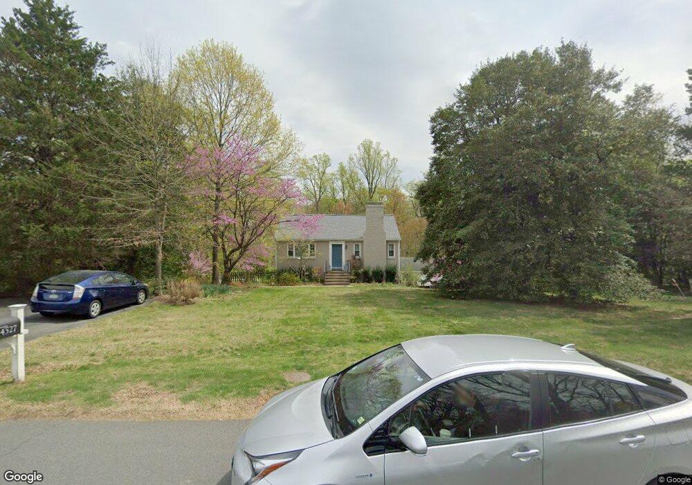
4527 Brookside Dr Alexandria, VA 22312
Estimated Value: $851,000 - $1,051,000
3
Beds
3
Baths
1,750
Sq Ft
$526/Sq Ft
Est. Value
About This Home
This home is located at 4527 Brookside Dr, Alexandria, VA 22312 and is currently estimated at $920,214, approximately $525 per square foot. 4527 Brookside Dr is a home located in Fairfax County with nearby schools including Columbia Elementary School, Holmes Middle School, and Annandale High School.
Ownership History
Date
Name
Owned For
Owner Type
Purchase Details
Closed on
Jan 9, 1997
Sold by
Shields Dan George and Shields Carolyn M
Bought by
Hohenstein Willam G and Hohenstein Susan M Akers
Current Estimated Value
Home Financials for this Owner
Home Financials are based on the most recent Mortgage that was taken out on this home.
Original Mortgage
$206,250
Outstanding Balance
$21,813
Interest Rate
7.46%
Mortgage Type
New Conventional
Estimated Equity
$898,401
Create a Home Valuation Report for This Property
The Home Valuation Report is an in-depth analysis detailing your home's value as well as a comparison with similar homes in the area
Home Values in the Area
Average Home Value in this Area
Purchase History
| Date | Buyer | Sale Price | Title Company |
|---|---|---|---|
| Hohenstein Willam G | $275,000 | -- |
Source: Public Records
Mortgage History
| Date | Status | Borrower | Loan Amount |
|---|---|---|---|
| Open | Hohenstein Willam G | $206,250 |
Source: Public Records
Tax History Compared to Growth
Tax History
| Year | Tax Paid | Tax Assessment Tax Assessment Total Assessment is a certain percentage of the fair market value that is determined by local assessors to be the total taxable value of land and additions on the property. | Land | Improvement |
|---|---|---|---|---|
| 2025 | $8,035 | $748,060 | $378,000 | $370,060 |
| 2024 | $8,035 | $710,100 | $343,000 | $367,100 |
| 2023 | $7,814 | $692,390 | $333,000 | $359,390 |
| 2022 | $7,506 | $656,430 | $333,000 | $323,430 |
| 2021 | $6,713 | $572,090 | $298,000 | $274,090 |
| 2020 | $6,582 | $556,110 | $290,000 | $266,110 |
| 2019 | $6,520 | $550,890 | $290,000 | $260,890 |
| 2018 | $6,248 | $543,290 | $290,000 | $253,290 |
| 2017 | $6,308 | $543,290 | $290,000 | $253,290 |
| 2016 | $5,853 | $505,230 | $264,000 | $241,230 |
| 2015 | $5,496 | $492,500 | $256,000 | $236,500 |
| 2014 | $5,484 | $492,500 | $256,000 | $236,500 |
Source: Public Records
Map
Nearby Homes
- 4427 Brookside Dr
- 4505 Park Rd
- 6336 Lincolnia Rd
- 4801 Seminole Ave
- 4600 Kling Dr
- 6352 Hillcrest Place
- 1045 Rynex Dr
- 6469 Second St
- 6236 Shackelford Terrace
- 4214 Pine Ln
- 4614 Kling Dr
- 6364 Evangeline Ln
- 6438 Fifth St
- 4704 Barnum Ln
- 6436 Holyoke Dr
- 4925 Lincoln Ave
- 6309 Seventh St
- 4211 Downing St
- 4816 Edwards St
- 301 N Beauregard St Unit 1508
- 4523 Brookside Dr
- 4521 Brookside Dr
- 4601 Brookside Dr
- 4516 Brookside Dr
- 4511 Brookside Dr
- 4520 Brookside Dr
- 4524 Brookside Dr
- 4600 Brookside Dr
- 4512 Brookside Dr
- 4609 Brookside Dr
- 4505 Brookside Dr
- 4508 Brookside Dr
- 6375 Vale Ct
- 6373 Vale Ct
- 0 00 King Dr Unit 1009499248
- 0 00 Kling Dr Unit FX7772286
- 0 0 Kling Dr Unit FX7772273
- 0 00 King Dr Unit FX7736659
- 0 000 Kling Dr Unit FX7937141
- 0 0 Kling Dr Unit FX7937140