4527 Chapman Ln Springfield, OH 45503
Estimated Value: $331,600 - $379,000
4
Beds
3
Baths
2,037
Sq Ft
$170/Sq Ft
Est. Value
About This Home
This home is located at 4527 Chapman Ln, Springfield, OH 45503 and is currently estimated at $346,400, approximately $170 per square foot. 4527 Chapman Ln is a home located in Clark County with nearby schools including Northridge Elementary School, Kenton Ridge Middle & High School, and Emmanuel Christian Academy.
Ownership History
Date
Name
Owned For
Owner Type
Purchase Details
Closed on
Dec 4, 2002
Sold by
Hoppes Builders & Development Co
Bought by
Cook Donald D and Cook Erin A
Current Estimated Value
Home Financials for this Owner
Home Financials are based on the most recent Mortgage that was taken out on this home.
Original Mortgage
$151,920
Outstanding Balance
$62,904
Interest Rate
6.25%
Mortgage Type
Purchase Money Mortgage
Estimated Equity
$283,496
Create a Home Valuation Report for This Property
The Home Valuation Report is an in-depth analysis detailing your home's value as well as a comparison with similar homes in the area
Home Values in the Area
Average Home Value in this Area
Purchase History
| Date | Buyer | Sale Price | Title Company |
|---|---|---|---|
| Cook Donald D | $189,900 | -- |
Source: Public Records
Mortgage History
| Date | Status | Borrower | Loan Amount |
|---|---|---|---|
| Open | Cook Donald D | $151,920 | |
| Closed | Cook Donald D | $28,485 |
Source: Public Records
Tax History
| Year | Tax Paid | Tax Assessment Tax Assessment Total Assessment is a certain percentage of the fair market value that is determined by local assessors to be the total taxable value of land and additions on the property. | Land | Improvement |
|---|---|---|---|---|
| 2025 | $3,584 | $103,090 | $18,760 | $84,330 |
| 2024 | $3,468 | $80,690 | $13,830 | $66,860 |
| 2023 | $3,468 | $80,690 | $13,830 | $66,860 |
| 2022 | $3,481 | $80,690 | $13,830 | $66,860 |
| 2021 | $3,556 | $69,890 | $10,800 | $59,090 |
| 2020 | $3,559 | $69,890 | $10,800 | $59,090 |
| 2019 | $3,723 | $71,800 | $10,800 | $61,000 |
| 2018 | $3,624 | $67,030 | $8,100 | $58,930 |
| 2017 | $3,114 | $66,280 | $8,103 | $58,177 |
| 2016 | $3,093 | $66,280 | $8,103 | $58,177 |
| 2015 | $3,070 | $65,895 | $7,718 | $58,177 |
| 2014 | $3,069 | $65,895 | $7,718 | $58,177 |
| 2013 | $2,999 | $65,895 | $7,718 | $58,177 |
Source: Public Records
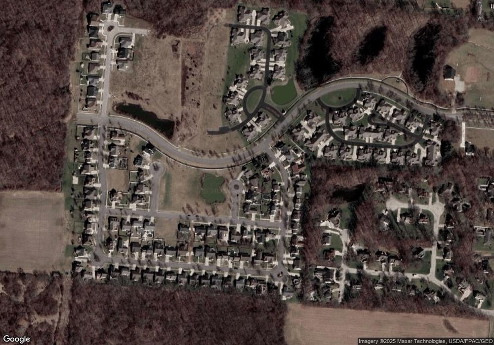
Map
Nearby Homes
- 593 Hiser Ave
- 4741 Cullen Ave
- 4343 Burchill St
- 4802 Willowbrook Dr
- 1341 Student Ave
- 0 Moorefield Rd
- 4256 Midfield St Unit 9
- 4446 Ridgewood Rd E Unit 3
- 5033 Ridgewood Rd E
- 1162 Kingsgate Rd
- 4577 Reno Ln Unit 2
- 1521 Erika Dr
- 4652 Reno Ln Unit 15
- 1201 Kingsgate Rd
- 1709 Thomas Dr
- 3942 Harris Ln
- 5564 Ridgewood Rd W
- 1495 Victorian Way
- 5564 Ridgewood Rd E Unit 7
- 1500 Kingsgate Rd
- 4525 Chapman Ln
- 4535 Dowden St
- 4521 Chapman Ln
- 4523 Dowden St
- 776 Deerfield Trail Unit 8
- 4519 Dowden St
- 774 Deerfield Trail Unit 7
- 4517 Chapman Ln
- 4540 Dowden St
- 4536 Dowden St
- 4515 Dowden St
- 780 Deerfield Trail Unit 10
- 778 Deerfield Trail Unit 9
- 4532 Dowden St
- 771 Deerfield Trail
- 4526 Dowden St
- 773 Crescent Point Unit 2
- 773 Crescent Point
- 4522 Dowden St
- 804 Brendle Trace Unit 45
Your Personal Tour Guide
Ask me questions while you tour the home.