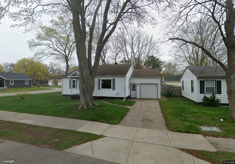
4528 Harding Ct Norton Shores, MI 49441
Estimated Value: $195,504 - $225,000
2
Beds
1
Bath
1,044
Sq Ft
$205/Sq Ft
Est. Value
About This Home
This home is located at 4528 Harding Ct, Norton Shores, MI 49441 and is currently estimated at $214,376, approximately $205 per square foot. 4528 Harding Ct is a home located in Muskegon County with nearby schools including Mona Shores High School, Edgewood Elementary Academy, and Dr. Martin Luther King Academy.
Ownership History
Date
Name
Owned For
Owner Type
Purchase Details
Closed on
Aug 25, 2005
Sold by
Fagundo James and Fagundo Linda
Bought by
Cox Janet Marie
Current Estimated Value
Home Financials for this Owner
Home Financials are based on the most recent Mortgage that was taken out on this home.
Original Mortgage
$74,000
Outstanding Balance
$39,690
Interest Rate
5.89%
Mortgage Type
Fannie Mae Freddie Mac
Estimated Equity
$174,686
Create a Home Valuation Report for This Property
The Home Valuation Report is an in-depth analysis detailing your home's value as well as a comparison with similar homes in the area
Home Values in the Area
Average Home Value in this Area
Purchase History
| Date | Buyer | Sale Price | Title Company |
|---|---|---|---|
| Cox Janet Marie | $92,500 | -- |
Source: Public Records
Mortgage History
| Date | Status | Borrower | Loan Amount |
|---|---|---|---|
| Open | Cox Janet Marie | $74,000 |
Source: Public Records
Tax History Compared to Growth
Tax History
| Year | Tax Paid | Tax Assessment Tax Assessment Total Assessment is a certain percentage of the fair market value that is determined by local assessors to be the total taxable value of land and additions on the property. | Land | Improvement |
|---|---|---|---|---|
| 2025 | $1,504 | $79,100 | $0 | $0 |
| 2024 | $1,179 | $72,000 | $0 | $0 |
| 2023 | $1,126 | $64,000 | $0 | $0 |
| 2022 | $1,373 | $54,100 | $0 | $0 |
| 2021 | $1,334 | $49,200 | $0 | $0 |
| 2020 | $1,319 | $45,900 | $0 | $0 |
| 2019 | $1,295 | $42,000 | $0 | $0 |
| 2018 | $1,264 | $37,500 | $0 | $0 |
| 2017 | $1,235 | $36,800 | $0 | $0 |
| 2016 | $956 | $34,400 | $0 | $0 |
| 2015 | -- | $31,800 | $0 | $0 |
| 2014 | $1,148 | $31,600 | $0 | $0 |
| 2013 | -- | $30,500 | $0 | $0 |
Source: Public Records
Map
Nearby Homes
- 1065 Wilson Ct
- 1067 Aspen Dr
- 4476 Cedar Ln Unit 54
- 4468 Spruce Ct
- 4638 Lauren Dr
- 4535 Thompson Rd
- 945 Petrie Ave
- V/L 4535 Thompson Rd
- 1130 Englewood Ave
- 1068 Englewood Ave
- 4677 Harvey St
- V/L E Ellis Rd
- 1404 E Ellis Rd
- 1454 Airport Rd
- 4769 Harvey St
- 4875 Paul Ct
- 1283 E Ellis Rd Unit 18
- 1283 E Ellis Rd Unit 20
- 1283 E Ellis Rd Unit 19
- 1283 E Ellis Rd Unit 21
- 4536 Harding Ct
- 1063 Roosevelt Ct
- 1071 Roosevelt Ct
- 4546 Harding Ct
- 1054 Roosevelt Ct
- 4527 Harding Ct
- 1072 Wilson Ct
- 1087 Roosevelt Ct
- 1076 Roosevelt Ct
- 4555 Harding Ct
- 1086 Wilson Ct
- 1045 Aspen Dr
- 1086 Roosevelt Ct
- 1049 Wilson Ct
- 1049 Aspen Dr
- 4528 Grand Haven Rd
- 4518 Grand Haven Rd
- 1095 Roosevelt Ct
- 4565 Harding Ct
- 1100 Wilson Ct