4528 Stoudts Ferry Bridge Rd Reading, PA 19605
Outer Muhlenberg Township NeighborhoodEstimated Value: $158,000 - $346,000
3
Beds
1
Bath
1,768
Sq Ft
$149/Sq Ft
Est. Value
About This Home
This home is located at 4528 Stoudts Ferry Bridge Rd, Reading, PA 19605 and is currently estimated at $264,063, approximately $149 per square foot. 4528 Stoudts Ferry Bridge Rd is a home with nearby schools including C E Cole Intermediate School, Muhlenberg Elementary Center, and Muhlenberg Junior High School.
Ownership History
Date
Name
Owned For
Owner Type
Purchase Details
Closed on
Sep 13, 2023
Sold by
Brice Michael J
Bought by
Brice Steven S
Current Estimated Value
Purchase Details
Closed on
Oct 12, 2006
Sold by
Sharp Kathy L
Bought by
Brice Steven S and Brice Michael J
Purchase Details
Closed on
Oct 3, 2006
Sold by
Sharp Jack W
Bought by
Sharp Kathy L and The Estate Of Dennis J Sharp
Create a Home Valuation Report for This Property
The Home Valuation Report is an in-depth analysis detailing your home's value as well as a comparison with similar homes in the area
Home Values in the Area
Average Home Value in this Area
Purchase History
| Date | Buyer | Sale Price | Title Company |
|---|---|---|---|
| Brice Steven S | -- | None Listed On Document | |
| Brice Steven S | $15,000 | Penntitle Inc | |
| Sharp Kathy L | -- | Penntitle Inc |
Source: Public Records
Tax History Compared to Growth
Tax History
| Year | Tax Paid | Tax Assessment Tax Assessment Total Assessment is a certain percentage of the fair market value that is determined by local assessors to be the total taxable value of land and additions on the property. | Land | Improvement |
|---|---|---|---|---|
| 2025 | $398 | $26,500 | $14,100 | $12,400 |
| 2024 | $1,276 | $26,500 | $14,100 | $12,400 |
| 2023 | $1,197 | $26,500 | $14,100 | $12,400 |
| 2022 | $1,178 | $26,500 | $14,100 | $12,400 |
| 2021 | $1,150 | $26,500 | $14,100 | $12,400 |
| 2020 | $1,150 | $26,500 | $14,100 | $12,400 |
| 2019 | $1,873 | $26,500 | $14,100 | $12,400 |
| 2018 | $1,106 | $26,500 | $14,100 | $12,400 |
| 2017 | $1,085 | $26,500 | $14,100 | $12,400 |
| 2016 | $321 | $26,500 | $14,100 | $12,400 |
| 2015 | $321 | $26,500 | $14,100 | $12,400 |
| 2014 | $321 | $26,500 | $14,100 | $12,400 |
Source: Public Records
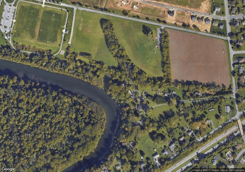
Map
Nearby Homes
- 833 Pine Heights Rd
- 1041 River Crest Dr
- 1025 River Crest Dr
- 1105 Showers Ln
- 5213 Stoudts Ferry Bridge Rd
- 1125 Ashbourne Dr
- 1282 Fredrick Blvd Unit 15F
- 1052 Boeshore Cir
- 1033 Whitford Dr
- 1162 Tuckerton Rd
- 1129 Whitner Rd
- 1033 Barberry Ave
- 1021 Barberry Ave Unit T67
- 1047 Sage Ave
- 1019 Heath Ave
- 1002 Heath Ave
- 3706 Rosewood Rd
- 2452 Ventnor Ave
- 0 Mccoy Ln Unit PABK2064868
- 1072 Grandell Ave
- 4518 Stoudts Ferry Bridge Rd
- 4514 Stoudts Ferry Bridge Rd
- 4510 Stoudts Ferry Bridge Rd
- 4506 Stoudts Ferry Bridge Rd
- 4526 Stoudts Ferry Bridge Rd
- 901 Pine Heights Rd
- 1024 River Crest Dr
- 4522 Stoudts Ferry Bridge Rd
- 1020 River Crest Dr
- 845 Pine Heights Rd
- 839 Pine Heights Rd
- 827 Pine Heights Rd
- 815 Pine Heights Rd
- 821 Pine Heights Rd
- 917 Pine Heights Rd
- 809 Pine Heights Rd
- 1028 River Crest Dr
- 905 Pine Heights Rd
- 921 Pine Heights Rd
- 803 Pine Heights Rd