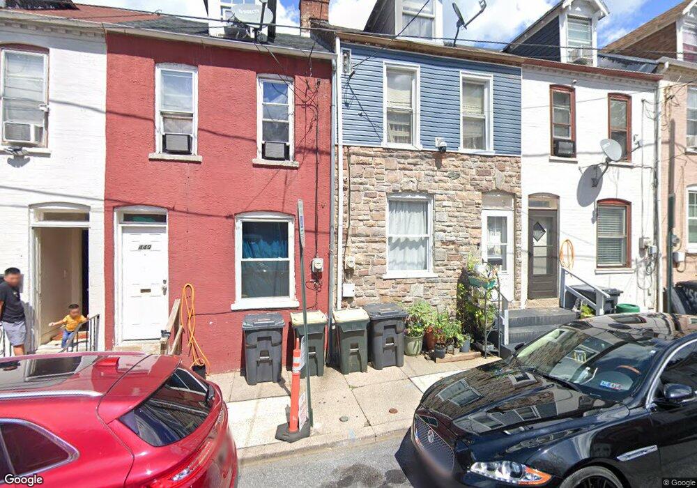
453 Atlantic Ave Lancaster, PA 17602
Churchtowne NeighborhoodEstimated Value: $145,363 - $166,000
4
Beds
1
Bath
1,016
Sq Ft
$152/Sq Ft
Est. Value
About This Home
This home is located at 453 Atlantic Ave, Lancaster, PA 17602 and is currently estimated at $154,841, approximately $152 per square foot. 453 Atlantic Ave is a home located in Lancaster County with nearby schools including Carter & MacRae Elementary School, Reynolds Middle School, and McCaskey High School.
Ownership History
Date
Name
Owned For
Owner Type
Purchase Details
Closed on
Feb 5, 2021
Sold by
Buitrago Luz M
Bought by
Bedoya Oscar Dario
Current Estimated Value
Purchase Details
Closed on
Oct 30, 2008
Sold by
Knoblich Gregory J
Bought by
Buitrago Luz M
Home Financials for this Owner
Home Financials are based on the most recent Mortgage that was taken out on this home.
Original Mortgage
$30,690
Interest Rate
6.08%
Mortgage Type
Purchase Money Mortgage
Purchase Details
Closed on
Jun 12, 2002
Sold by
First Union National Bank
Bought by
Smith Craig P
Purchase Details
Closed on
Mar 27, 2002
Sold by
Rodriquez Fernando L and Rodriguez Fernando L
Bought by
First Union National Bank
Purchase Details
Closed on
Sep 14, 1999
Sold by
Rodriquez Fernando L and Rodriquez Olga F
Bought by
Rodriquez Fernando L
Create a Home Valuation Report for This Property
The Home Valuation Report is an in-depth analysis detailing your home's value as well as a comparison with similar homes in the area
Home Values in the Area
Average Home Value in this Area
Purchase History
| Date | Buyer | Sale Price | Title Company |
|---|---|---|---|
| Bedoya Oscar Dario | -- | None Available | |
| Buitrago Luz M | $34,100 | None Available | |
| Smith Craig P | $14,500 | -- | |
| First Union National Bank | $2,653 | -- | |
| Rodriquez Fernando L | -- | -- |
Source: Public Records
Mortgage History
| Date | Status | Borrower | Loan Amount |
|---|---|---|---|
| Previous Owner | Buitrago Luz M | $30,690 |
Source: Public Records
Tax History Compared to Growth
Tax History
| Year | Tax Paid | Tax Assessment Tax Assessment Total Assessment is a certain percentage of the fair market value that is determined by local assessors to be the total taxable value of land and additions on the property. | Land | Improvement |
|---|---|---|---|---|
| 2025 | $1,484 | $37,500 | $4,900 | $32,600 |
| 2024 | $1,484 | $37,500 | $4,900 | $32,600 |
| 2023 | $1,459 | $37,500 | $4,900 | $32,600 |
| 2022 | $1,398 | $37,500 | $4,900 | $32,600 |
| 2021 | $1,368 | $37,500 | $4,900 | $32,600 |
| 2020 | $1,368 | $37,500 | $4,900 | $32,600 |
| 2019 | $1,348 | $37,500 | $4,900 | $32,600 |
| 2018 | $800 | $37,500 | $4,900 | $32,600 |
| 2017 | $1,474 | $32,100 | $5,100 | $27,000 |
| 2016 | $1,461 | $32,100 | $5,100 | $27,000 |
| 2015 | $570 | $32,100 | $5,100 | $27,000 |
| 2014 | $1,275 | $32,100 | $5,100 | $27,000 |
Source: Public Records
Map
Nearby Homes
- 462 S Christian St
- 507 Locust St
- 536 Woodward St
- 513 Howard Ave
- 520 S Duke St
- 555 Woodward St
- 567 S Christian St
- 459 S Queen St
- 518 Green St
- 14 E Farnum St
- 316 Beaver St
- 341 S Prince St
- 506 Beaver St
- 348 S Prince St
- 346 S Prince St
- 530 S Lime St
- 561 S Lime St
- 543 S Prince St
- 641 S Queen St
- 54 Green St
- 455 Atlantic Ave
- 451 Atlantic Ave
- 449 Atlantic Ave
- 457 Atlantic Ave
- 447 Atlantic Ave
- 459 Atlantic Ave
- 507 North St
- 445 Atlantic Ave
- 461 Atlantic Ave
- 463 Atlantic Ave
- 465 Atlantic Ave
- 505 North St
- 467 Atlantic Ave
- 454 Atlantic Ave
- 452 Atlantic Ave
- 458 Atlantic Ave
- 450 Atlantic Ave
- 512 Chester St
- 448 Atlantic Ave
- 460 Atlantic Ave