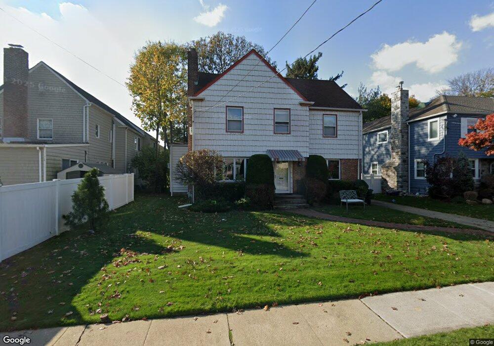
453 Barnard Ave Cedarhurst, NY 11516
Estimated Value: $964,274 - $1,263,000
--
Bed
3
Baths
1,750
Sq Ft
$636/Sq Ft
Est. Value
About This Home
This home is located at 453 Barnard Ave, Cedarhurst, NY 11516 and is currently estimated at $1,113,637, approximately $636 per square foot. 453 Barnard Ave is a home located in Nassau County with nearby schools including Lawrence Primary School, Lawrence Elementary School, and Lawrence Middle School.
Ownership History
Date
Name
Owned For
Owner Type
Purchase Details
Closed on
Aug 4, 2016
Sold by
Bindiger Jonathan and Bindiger Nahva
Bought by
Bindiger Jonathan and Bindiger Nahva
Current Estimated Value
Purchase Details
Closed on
Oct 15, 2013
Sold by
Bodoff Jeffrey and Bodoff Bonnie
Bought by
Bindiger Jonathan and Bindiger Nahva
Home Financials for this Owner
Home Financials are based on the most recent Mortgage that was taken out on this home.
Original Mortgage
$417,000
Outstanding Balance
$313,587
Interest Rate
4.52%
Estimated Equity
$800,050
Create a Home Valuation Report for This Property
The Home Valuation Report is an in-depth analysis detailing your home's value as well as a comparison with similar homes in the area
Home Values in the Area
Average Home Value in this Area
Purchase History
| Date | Buyer | Sale Price | Title Company |
|---|---|---|---|
| Bindiger Jonathan | -- | The Judicial Title Insurance | |
| Bindiger Jonathan | $665,000 | -- |
Source: Public Records
Mortgage History
| Date | Status | Borrower | Loan Amount |
|---|---|---|---|
| Open | Bindiger Jonathan | $417,000 |
Source: Public Records
Tax History Compared to Growth
Tax History
| Year | Tax Paid | Tax Assessment Tax Assessment Total Assessment is a certain percentage of the fair market value that is determined by local assessors to be the total taxable value of land and additions on the property. | Land | Improvement |
|---|---|---|---|---|
| 2025 | $8,486 | $604 | $259 | $345 |
| 2024 | $2,830 | $605 | $259 | $346 |
| 2023 | $8,281 | $642 | $275 | $367 |
| 2022 | $8,281 | $642 | $275 | $367 |
| 2021 | $10,831 | $665 | $285 | $380 |
| 2020 | $8,426 | $822 | $793 | $29 |
| 2019 | $8,379 | $822 | $793 | $29 |
| 2018 | $8,060 | $822 | $0 | $0 |
| 2017 | $5,002 | $822 | $793 | $29 |
| 2016 | $7,378 | $822 | $754 | $68 |
| 2015 | $2,210 | $822 | $685 | $137 |
| 2014 | $2,210 | $822 | $685 | $137 |
| 2013 | $2,145 | $865 | $720 | $145 |
Source: Public Records
Map
Nearby Homes
- 313 Forest Ave
- 508 Monroe St
- 410 Church Ave
- 276 Cedarhurst Ave Unit B2
- 276 Cedarhurst Ave Unit B4
- 272 Cedarhurst Ave Unit A6
- 439 Bayview Ave
- 530 Hudson Ave Unit A4
- 383 Clinton Ave
- 291 Cedarhurst Ave Unit K9
- 279 Cedarhurst Ave Unit G-6
- 492 Court Ave
- 7 Park Cir
- 487 Court Ave
- 761 W Broadway
- 477 Court Ave
- 461 5th Ave
- 544 Arlington Rd
- 25 Park Cir
- 511 Redwood Dr
- 461 Barnard Ave
- 612 Carlyle St
- 454 Arbuckle Ave
- 587 - 589 Central Ave
- 545 Cental Ave Unit 36A
- 699 Psrk Hwy
- 604 Carlyle St
- 465 Barnard Ave
- 466 Arbuckle Ave
- 488 Barnard Ave
- 460 Barnard Ave
- 611 Carlyle St
- 464 Barnard Ave
- 467 Barnard Ave
- 605 Carlyle St
- 637 Carlyle St
- 433 Barnard Ave
- 480 Arbuckle Ave
- 333 Church Ave