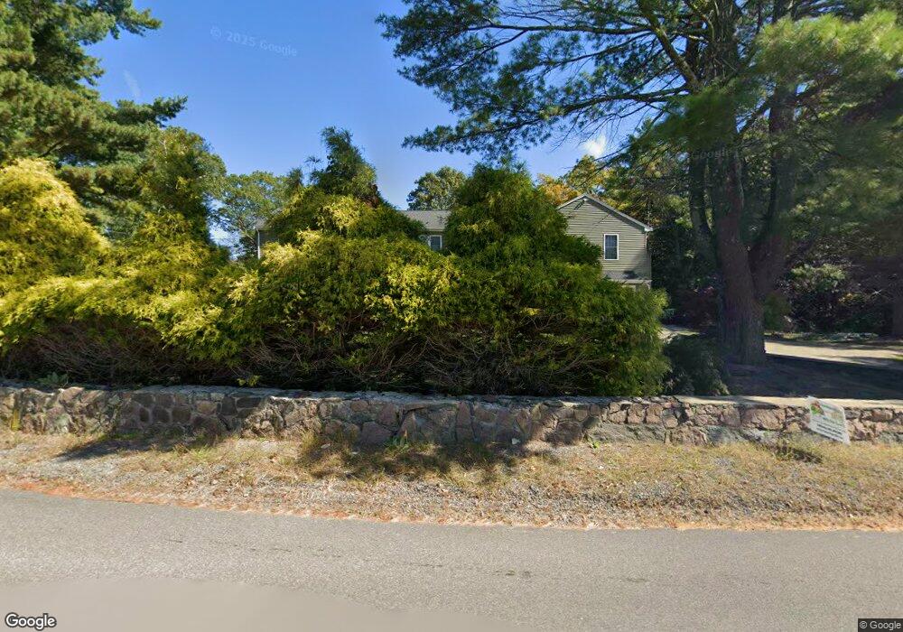
453 Cushman Rd North Attleboro, MA 02760
North Attleboro NeighborhoodEstimated Value: $806,000 - $914,528
4
Beds
3
Baths
3,258
Sq Ft
$261/Sq Ft
Est. Value
About This Home
This home is located at 453 Cushman Rd, North Attleboro, MA 02760 and is currently estimated at $851,132, approximately $261 per square foot. 453 Cushman Rd is a home located in Bristol County with nearby schools including North Attleboro High School, Blackstone Valley Prep Elementary School 1, and Dayspring Christian Academy.
Ownership History
Date
Name
Owned For
Owner Type
Purchase Details
Closed on
Apr 12, 2022
Sold by
Roberts Thomas J
Bought by
Rc Builders Llc
Current Estimated Value
Home Financials for this Owner
Home Financials are based on the most recent Mortgage that was taken out on this home.
Original Mortgage
$613,900
Outstanding Balance
$572,353
Interest Rate
3.89%
Mortgage Type
Purchase Money Mortgage
Estimated Equity
$278,779
Purchase Details
Closed on
Dec 23, 2011
Sold by
Roberts Thomas J
Bought by
Schlick Joann
Home Financials for this Owner
Home Financials are based on the most recent Mortgage that was taken out on this home.
Original Mortgage
$144,000
Interest Rate
3.99%
Mortgage Type
Purchase Money Mortgage
Create a Home Valuation Report for This Property
The Home Valuation Report is an in-depth analysis detailing your home's value as well as a comparison with similar homes in the area
Home Values in the Area
Average Home Value in this Area
Purchase History
| Date | Buyer | Sale Price | Title Company |
|---|---|---|---|
| Rc Builders Llc | $130,000 | None Available | |
| Schlick Joann | -- | -- | |
| Schlick Joann | $180,000 | -- | |
| Schlick Joann | -- | -- | |
| Schlick Joann | $180,000 | -- |
Source: Public Records
Mortgage History
| Date | Status | Borrower | Loan Amount |
|---|---|---|---|
| Open | Rc Builders Llc | $613,900 | |
| Previous Owner | Schlick Joann | $144,000 |
Source: Public Records
Tax History Compared to Growth
Tax History
| Year | Tax Paid | Tax Assessment Tax Assessment Total Assessment is a certain percentage of the fair market value that is determined by local assessors to be the total taxable value of land and additions on the property. | Land | Improvement |
|---|---|---|---|---|
| 2025 | $11,005 | $933,400 | $142,000 | $791,400 |
| 2024 | $10,511 | $910,800 | $142,000 | $768,800 |
| 2023 | $9,906 | $774,500 | $142,000 | $632,500 |
| 2022 | $10,360 | $743,700 | $142,000 | $601,700 |
| 2021 | $8,142 | $570,600 | $142,000 | $428,600 |
| 2020 | $7,139 | $497,500 | $142,000 | $355,500 |
| 2019 | $6,902 | $484,700 | $129,200 | $355,500 |
| 2018 | $5,491 | $411,600 | $129,200 | $282,400 |
| 2017 | $5,441 | $411,600 | $129,200 | $282,400 |
| 2016 | $4,569 | $345,600 | $143,600 | $202,000 |
| 2015 | $3,805 | $289,600 | $150,800 | $138,800 |
| 2014 | $3,227 | $243,700 | $139,300 | $104,400 |
Source: Public Records
Map
Nearby Homes
- 181 Paine Rd
- 31 Paine Rd
- 44 Montclair Dr
- 11 Frederick a Nittel Dr
- 44 Powder Horn Way
- 0 Mendon Rd
- 740 Allen Ave
- 29 May St
- 164 Bear Hill Rd Unit 24
- 155 May St
- 135 Cumberland Ave
- 143 Millard Rd
- 154 Bear Hill Rd Unit 405
- 27 Killarney Way
- 15 Standring St
- 94 Hines Rd
- 143 Waumsett Ave
- 18 Susan Dr
- 41 Indiana Ave
- 41&39 Indiana Ave
- 0 Cushman Rd
- 0 Cushman Rd Unit 13052
- 0 Cushman Rd Unit 70642203
- 0 Cushman Rd Unit 848948
- 0 Cushman Rd Unit 71146335
- 470 Cushman Rd
- 447 Cushman Rd
- 487 Cushman Rd
- 480 Cushman Rd
- 439 Cushman Rd
- 490 Cushman Rd
- 499 Cushman Rd
- 431 Cushman Rd
- 200 Huntsbridge Rd
- 423 Cushman Rd
- 503 Cushman Rd
- 500 Cushman Rd
- 194 Hunts Bridge Rd
- 194 Huntsbridge Rd
- 510 Cushman Rd