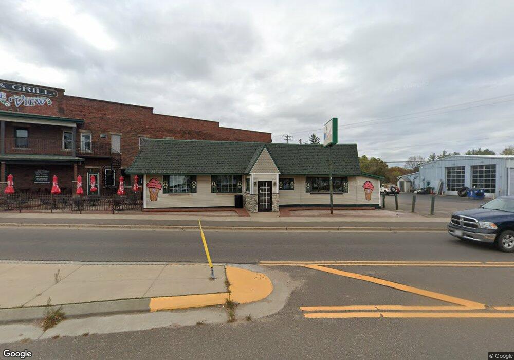
453 Highway 63 Shell Lake, WI 54871
Estimated Value: $188,000 - $279,339
Studio
--
Bath
1,160
Sq Ft
$201/Sq Ft
Est. Value
About This Home
This home is located at 453 Highway 63, Shell Lake, WI 54871 and is currently estimated at $233,670, approximately $201 per square foot. 453 Highway 63 is a home located in Washburn County with nearby schools including Shell Lake Primary (K-2), Shell Lake Elementary (3-6), and Shell Lake Junior/Senior High School.
Ownership History
Date
Name
Owned For
Owner Type
Purchase Details
Closed on
Feb 28, 2023
Sold by
Olson John T
Bought by
5 West 5Th Holdings Inc
Current Estimated Value
Purchase Details
Closed on
Mar 11, 2014
Sold by
Wayne E Wayne E
Bought by
Olson John T
Purchase Details
Closed on
Mar 10, 2014
Sold by
Ericksen Diane M
Bought by
Hanson Wayne E
Purchase Details
Closed on
Nov 6, 2013
Sold by
Hanson Marylee
Bought by
Hanson Wayne E
Create a Home Valuation Report for This Property
The Home Valuation Report is an in-depth analysis detailing your home's value as well as a comparison with similar homes in the area
Purchase History
| Date | Buyer | Sale Price | Title Company |
|---|---|---|---|
| 5 West 5Th Holdings Inc | $150,000 | Samuel L. Lawton | |
| Olson John T | -- | -- | |
| Hanson Wayne E | $125,000 | -- | |
| Hanson Wayne E | $67,500 | -- |
Source: Public Records
Tax History
| Year | Tax Paid | Tax Assessment Tax Assessment Total Assessment is a certain percentage of the fair market value that is determined by local assessors to be the total taxable value of land and additions on the property. | Land | Improvement |
|---|---|---|---|---|
| 2025 | $1,625 | $141,700 | $35,900 | $105,800 |
| 2023 | $3,047 | $126,800 | $46,300 | $80,500 |
| 2022 | $3,272 | $126,800 | $46,300 | $80,500 |
| 2021 | $3,087 | $126,800 | $46,300 | $80,500 |
| 2020 | $2,987 | $126,800 | $46,300 | $80,500 |
| 2019 | $2,778 | $126,800 | $46,300 | $80,500 |
| 2018 | $2,685 | $126,800 | $46,300 | $80,500 |
| 2017 | $2,473 | $126,800 | $46,300 | $80,500 |
| 2016 | $2,452 | $126,800 | $46,300 | $80,500 |
| 2015 | $2,400 | $126,800 | $46,300 | $80,500 |
| 2014 | $2,286 | $126,800 | $46,300 | $80,500 |
| 2012 | $2,631 | $126,800 | $46,300 | $80,500 |
Source: Public Records
Map
Nearby Homes
- 101 7th Ave
- 122 6th Ave
- N4433 Forest Creek Dr
- 518 8th Ave
- Tax ID 21 Highway 63
- TBD Sand Rd
- W8309 Sand Rd
- 8309 Sand Rd
- 1339 S Lake Dr
- 2399 Little Long Lake Rd
- N2991 Sunset Dr
- 1711 S Lake Dr
- 1511 S Lake Dr
- W8578 Sand Rd
- 4003 N Spur Rd
- 2273 Little Long Lake Rd
- N2273 Little Long Lake Rd
- 316 Wennerberg Shore Dr
- 316 Wennenberg Shore Dr
- XXX Ripley Spur Rd
Your Personal Tour Guide
Ask me questions while you tour the home.