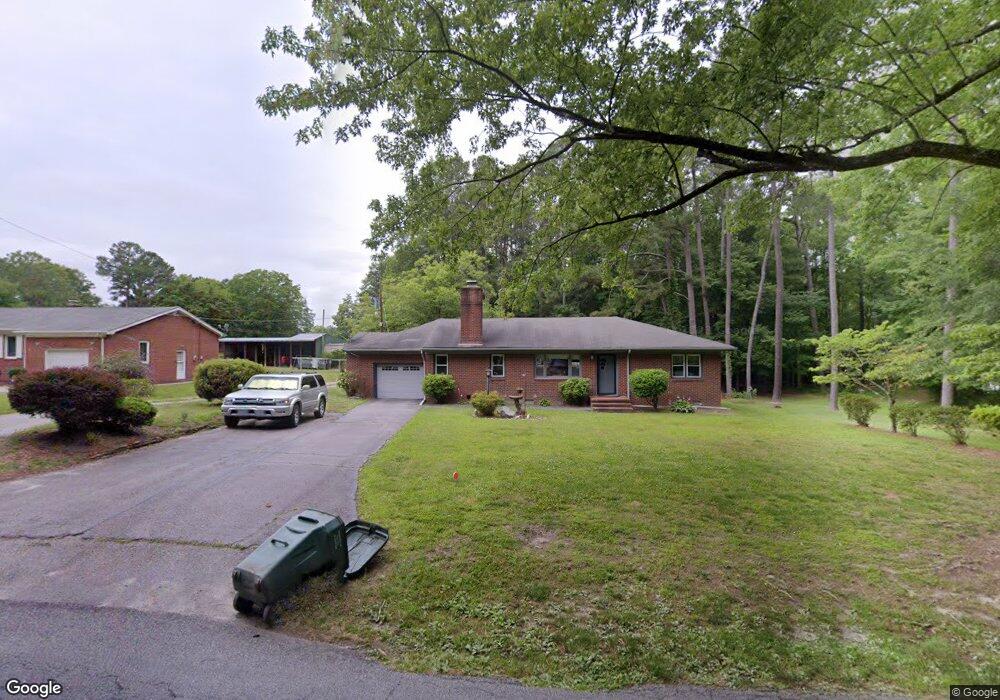
453 Manning Rd Suffolk, VA 23434
Holy Neck NeighborhoodEstimated Value: $339,000 - $379,543
About This Home
This home is located at 453 Manning Rd, Suffolk, VA 23434 and is currently estimated at $357,886, approximately $211 per square foot. 453 Manning Rd is a home located in Suffolk City with nearby schools including Kilby Shores Elementary School, Forest Glen Middle School, and Lakeland High School.
Ownership History
We collect this data history from publicly available records. To have your information removed, we recommend requesting removal directly through your county’s website.
Purchase Details
Home Financials for this Owner
Home Financials are based on the most recent Mortgage that was taken out on this home.Home Values in the Area
Average Home Value in this Area
Purchase History
We collect this data history from publicly available records. To have your information removed, we recommend requesting removal directly through your county’s website.
| Date | Buyer | Sale Price | Title Company |
|---|---|---|---|
| $232,000 | -- |
Mortgage History
We collect this data history from publicly available records. To have your information removed, we recommend requesting removal directly through your county’s website.
| Date | Status | Borrower | Loan Amount |
|---|---|---|---|
| Open | $219,535 |
Tax History
We collect this data history from publicly available records. To have your information removed, we recommend requesting removal directly through your county’s website.
| Year | Tax Paid | Tax Assessment Tax Assessment Total Assessment is a certain percentage of the fair market value that is determined by local assessors to be the total taxable value of land and additions on the property. | Land | Improvement |
|---|---|---|---|---|
| 2025 | $4,102 | $341,300 | $95,100 | $246,200 |
| 2024 | $4,102 | $305,400 | $79,200 | $226,200 |
| 2023 | $3,661 | $298,700 | $79,200 | $219,500 |
| 2022 | $2,883 | $264,500 | $79,200 | $185,300 |
| 2021 | $2,613 | $235,400 | $79,200 | $156,200 |
| 2020 | $2,495 | $224,800 | $79,200 | $145,600 |
| 2019 | $2,495 | $224,800 | $79,200 | $145,600 |
| 2018 | $2,517 | $223,900 | $79,200 | $144,700 |
| 2017 | $2,336 | $218,300 | $79,200 | $139,100 |
| 2016 | $2,278 | $212,900 | $79,200 | $133,700 |
| 2015 | $1,224 | $212,900 | $79,200 | $133,700 |
| 2014 | $1,224 | $212,900 | $79,200 | $133,700 |
Map
- 1538 Wilkins Dr
- 19 Grove Ave
- 3010 Elmore Cir
- 3027 Brett Dr
- 3021 Brett Dr
- 3025 Brett Dr
- 3023 Brett Dr
- 1029 English Oak Dr
- 5001 Melanie Ct
- 5008 Melanie Ct
- 5003 Melanie Ct
- 5009 Melanie Ct
- 2141 Brians Ln
- 2130 Brians Ln
- 218 Mill Stream Dr
- 2140 Brians Ln
- 1019 English Oak Dr
- 326 Tarn Ct
- 335 Tarn Ct
- 125 Riparian Dr
- 457 Manning Rd
- 461 Manning Rd
- 493 Manning Rd
- 304 Autumn Cir
- 123 Springfield Terrace
- 121 Springfield Terrace
- 119 Springfield Terrace
- 125 Springfield Terrace
- 127 Springfield Terrace
- 117 Springfield Terrace
- 303 Autumn Cir
- 302 Autumn Cir
- 115 Springfield Terrace
- 300 Autumn Cir
- 128 Springfield Terrace
- 120 Springfield Terrace
- 301 Autumn Cir
- 111 Springfield Terrace
- 122 Springfield Terrace
- 118 Springfield Terrace
Ask me questions while you tour the home.