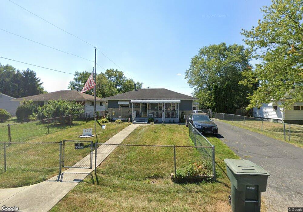
453 Stockbridge Rd Columbus, OH 43207
Obetz-Lockbourne NeighborhoodEstimated Value: $158,000 - $189,000
3
Beds
1
Bath
864
Sq Ft
$203/Sq Ft
Est. Value
About This Home
This home is located at 453 Stockbridge Rd, Columbus, OH 43207 and is currently estimated at $175,438, approximately $203 per square foot. 453 Stockbridge Rd is a home located in Franklin County with nearby schools including Parsons Elementary School, Buckeye Middle School, and Marion-Franklin High School.
Ownership History
Date
Name
Owned For
Owner Type
Purchase Details
Closed on
Dec 22, 1992
Bought by
Pearson Theodore H
Current Estimated Value
Purchase Details
Closed on
Oct 4, 1991
Purchase Details
Closed on
Jun 1, 1984
Create a Home Valuation Report for This Property
The Home Valuation Report is an in-depth analysis detailing your home's value as well as a comparison with similar homes in the area
Home Values in the Area
Average Home Value in this Area
Purchase History
| Date | Buyer | Sale Price | Title Company |
|---|---|---|---|
| Pearson Theodore H | $56,000 | -- | |
| -- | -- | -- | |
| -- | -- | -- |
Source: Public Records
Tax History
| Year | Tax Paid | Tax Assessment Tax Assessment Total Assessment is a certain percentage of the fair market value that is determined by local assessors to be the total taxable value of land and additions on the property. | Land | Improvement |
|---|---|---|---|---|
| 2025 | $1,934 | $52,890 | $18,130 | $34,760 |
| 2024 | $1,934 | $52,890 | $18,130 | $34,760 |
| 2023 | $1,937 | $52,890 | $18,130 | $34,760 |
| 2022 | $775 | $23,700 | $10,540 | $13,160 |
| 2021 | $777 | $23,700 | $10,540 | $13,160 |
| 2020 | $778 | $23,700 | $10,540 | $13,160 |
| 2019 | $688 | $20,090 | $9,170 | $10,920 |
| 2018 | $678 | $20,090 | $9,170 | $10,920 |
| 2017 | $712 | $20,090 | $9,170 | $10,920 |
| 2016 | $737 | $19,880 | $4,340 | $15,540 |
| 2015 | $669 | $19,880 | $4,340 | $15,540 |
| 2014 | $671 | $19,880 | $4,340 | $15,540 |
| 2013 | $361 | $20,895 | $4,550 | $16,345 |
Source: Public Records
Map
Nearby Homes
- 3380 Parsons Ave
- 1633-1635 E Greenway Ave
- 691 Colton Rd
- 435 Carolann Ave
- 460 Coulter Ave
- 780 Basswood Rd
- 135 Rumsey Rd
- 562 Ashwood Rd
- 228 Currier Dr
- 3302 Hilock Place
- 525 Ashwood Rd
- 860 Basswood Rd
- 3251 Hilock Ct
- 211 Delaney Dr
- 0 Williams Rd
- 83 Rumsey Rd
- 245 Marilla Rd
- 577 Barcher Rd
- 484 Cedarwood Rd
- 884 Bruckner Rd
- 465 Stockbridge Rd
- 441 Stockbridge Rd
- 479 Stockbridge Rd
- 464 Rumsey Rd
- 493 Stockbridge Rd
- 490 Rumsey Rd
- 460 Rumsey Rd
- 458 Stockbridge Rd
- 474 Rumsey Rd
- 450 Stockbridge Rd
- 470 Stockbridge Rd
- 500 Rumsey Rd
- 456 Rumsey Rd
- 433 Stockbridge Rd
- 440 Stockbridge Rd
- 506 Rumsey Rd
- 494 Stockbridge Rd
- 507 Stockbridge Rd
- 450 Rumsey Rd
- 512 Rumsey Rd
Your Personal Tour Guide
Ask me questions while you tour the home.