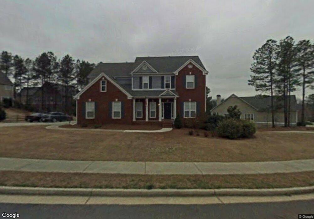
453 Thunder Ridge Dr Unit A Acworth, GA 30101
Cedarcrest NeighborhoodEstimated Value: $443,723 - $508,000
4
Beds
3
Baths
2,645
Sq Ft
$179/Sq Ft
Est. Value
About This Home
This home is located at 453 Thunder Ridge Dr Unit A, Acworth, GA 30101 and is currently estimated at $472,431, approximately $178 per square foot. 453 Thunder Ridge Dr Unit A is a home located in Paulding County with nearby schools including Burnt Hickory Elementary School, Sammy Mcclure Sr. Middle School, and North Paulding High School.
Ownership History
Date
Name
Owned For
Owner Type
Purchase Details
Closed on
Feb 22, 2002
Sold by
Arnold Tara
Bought by
Arnold Michael J and Arnold Tara
Current Estimated Value
Purchase Details
Closed on
Nov 30, 2001
Sold by
Four Star Res Inc
Bought by
Arnold Tara
Home Financials for this Owner
Home Financials are based on the most recent Mortgage that was taken out on this home.
Original Mortgage
$197,400
Interest Rate
6.8%
Mortgage Type
New Conventional
Create a Home Valuation Report for This Property
The Home Valuation Report is an in-depth analysis detailing your home's value as well as a comparison with similar homes in the area
Home Values in the Area
Average Home Value in this Area
Purchase History
| Date | Buyer | Sale Price | Title Company |
|---|---|---|---|
| Arnold Michael J | -- | -- | |
| Arnold Tara | $203,600 | -- |
Source: Public Records
Mortgage History
| Date | Status | Borrower | Loan Amount |
|---|---|---|---|
| Previous Owner | Arnold Tara | $197,400 |
Source: Public Records
Tax History Compared to Growth
Tax History
| Year | Tax Paid | Tax Assessment Tax Assessment Total Assessment is a certain percentage of the fair market value that is determined by local assessors to be the total taxable value of land and additions on the property. | Land | Improvement |
|---|---|---|---|---|
| 2024 | $4,202 | $172,164 | $26,000 | $146,164 |
| 2023 | $4,728 | $183,868 | $26,000 | $157,868 |
| 2022 | $4,069 | $157,948 | $26,000 | $131,948 |
| 2021 | $3,713 | $129,640 | $26,000 | $103,640 |
| 2020 | $3,322 | $113,720 | $26,000 | $87,720 |
| 2019 | $3,219 | $108,680 | $26,000 | $82,680 |
| 2018 | $3,316 | $110,080 | $26,000 | $84,080 |
| 2017 | $2,992 | $99,800 | $26,000 | $73,800 |
Source: Public Records
Map
Nearby Homes
- 139 Thunder Ridge Ln
- 103 Brier Bend Ct Unit D
- 365 Hunt Creek Dr
- 1039 Lost Creek Pkwy
- 1029 Lost Creek Pkwy
- 1019 Lost Creek Pkwy
- 1009 Lost Creek Pkwy
- 102 Silverdale Ln
- 1648 Harmony Grove Church Rd
- 991 Lost Creek Pkwy
- 994 Lost Creek Pkwy
- 385 Graves Rd
- 280 Graves Rd
- 51 Water Oak Dr
- 22 Watervine Ct
- 22 Water Vine Ct
- 39 Floating Leaf Way
- 124 Fallen Oak Dr
- 115 Floating Leaf Way
- 88 Water Oak Dr
- 487 Thunder Ridge Dr
- 454 Thunder Ridge Dr Unit A106
- 454 Thunder Ridge Dr
- 26 Thunder Ridge Ln
- 505 Thunder Ridge Dr
- 438 Thunder Ridge Dr
- 10 Thunder Ridge Ln
- 422 Thunder Ridge Dr Unit A
- 10 Bayberry Ct
- 38 Thunder Ridge Ln
- 494 Thunder Ridge Dr
- 20 Bayberry Ct
- 406 Thunder Ridge Dr
- 519 Thunder Ridge Dr
- 510 Thunder Ridge Dr
- 13 Bayberry Ct
- 23 Bayberry Ct
- 56 Thunder Ridge Ln
- 56 Thunder Ridge Ln Unit A082
- 379 Thunder Ridge Dr