Estimated Value: $224,000 - $285,000
3
Beds
2
Baths
1,196
Sq Ft
$217/Sq Ft
Est. Value
About This Home
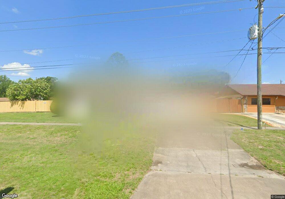
This home is located at 4530 Curtis Blvd, Cocoa, FL 32927 and is currently estimated at $259,289, approximately $216 per square foot. 4530 Curtis Blvd is a home located in Brevard County with nearby schools including Atlantis Elementary School, Space Coast Junior/Senior High School, and Sculptor Charter School.
Ownership History
Date
Name
Owned For
Owner Type
Purchase Details
Closed on
Dec 4, 1995
Sold by
Mccurdy Ronald E
Bought by
Williams William R and Williams Linda J
Current Estimated Value
Home Financials for this Owner
Home Financials are based on the most recent Mortgage that was taken out on this home.
Original Mortgage
$71,997
Outstanding Balance
$1,477
Interest Rate
7.4%
Estimated Equity
$257,812
Purchase Details
Closed on
Mar 30, 1995
Sold by
Troutman James Oliver
Bought by
Mccurdy Ronald E
Purchase Details
Closed on
Aug 26, 1994
Sold by
Myers Fred L and Myers Janet H
Bought by
Troutman James Oliver
Create a Home Valuation Report for This Property
The Home Valuation Report is an in-depth analysis detailing your home's value as well as a comparison with similar homes in the area
Home Values in the Area
Average Home Value in this Area
Purchase History
| Date | Buyer | Sale Price | Title Company |
|---|---|---|---|
| Williams William R | $69,900 | -- | |
| Mccurdy Ronald E | $37,400 | -- | |
| Troutman James Oliver | $64,700 | -- |
Source: Public Records
Mortgage History
| Date | Status | Borrower | Loan Amount |
|---|---|---|---|
| Open | Williams William R | $71,997 |
Source: Public Records
Tax History
| Year | Tax Paid | Tax Assessment Tax Assessment Total Assessment is a certain percentage of the fair market value that is determined by local assessors to be the total taxable value of land and additions on the property. | Land | Improvement |
|---|---|---|---|---|
| 2025 | $1,137 | $85,220 | -- | -- |
| 2024 | $1,033 | $82,820 | -- | -- |
| 2023 | $1,033 | $74,950 | $0 | $0 |
| 2022 | $973 | $72,770 | $0 | $0 |
| 2021 | $975 | $70,660 | $0 | $0 |
| 2020 | $930 | $69,690 | $0 | $0 |
| 2019 | $877 | $68,130 | $0 | $0 |
| 2018 | $879 | $66,860 | $0 | $0 |
| 2017 | $880 | $65,490 | $0 | $0 |
| 2016 | $888 | $64,150 | $18,000 | $46,150 |
| 2015 | $895 | $63,710 | $15,000 | $48,710 |
| 2014 | $900 | $63,210 | $11,000 | $52,210 |
Source: Public Records
Map
Nearby Homes
- 7160 Carlowe Ave
- 4625 Curtis Blvd
- 7065 Bright Ave
- 6947 Carlowe Ave
- 6990 Camden Ave
- 7081 Bayfront Rd
- 7155 Ackerman Ave
- 6820 Caliph Ave
- 4285 Glover St
- 4760 Ivan St
- 4550 Flood St
- 4395 Comfort St
- 7350 Bartow Ave
- 4824 Curtis Blvd
- 7070 Bismarck Rd
- 7450 Calmoso Ave
- 7456 Camio Ave
- 7245 Grissom Pkwy
- 0000 Unknown St
- 7155 Export Ave
- 7115 Briggs Ave
- 4510 Curtis Blvd
- 7110 Carlowe Ave
- 4550 Curtis Blvd
- 7125 Briggs Ave
- 7120 Carlowe Ave
- 7110 Briggs Ave
- 4535 Curtis Blvd
- 4525 Curtis Blvd
- 7135 Briggs Ave
- 0 Briggs Ave
- 7120 Briggs Ave
- 4570 Curtis Blvd
- 7044 Carlowe Ave
- 7130 Briggs Ave
- 4480 Curtis Blvd
- 7015 Briggs Ave
- 4575 Curtis Blvd
- 7113 Carlowe Ave
- 7145 Briggs Ave
Your Personal Tour Guide
Ask me questions while you tour the home.