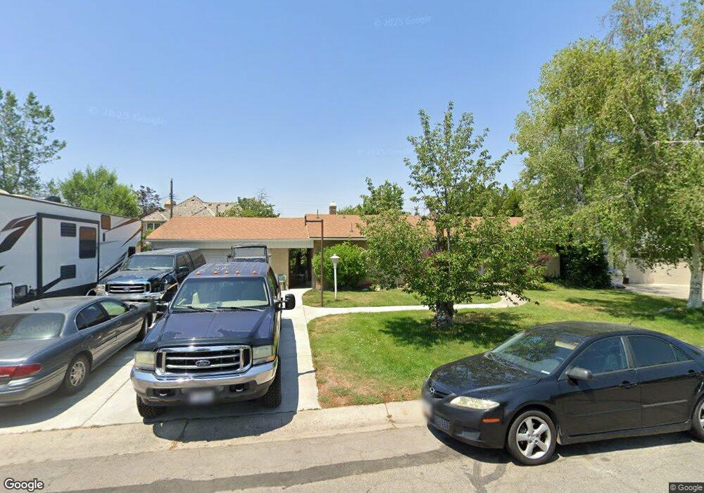
4530 Range Cir Salt Lake City, UT 84117
Estimated Value: $563,000 - $638,046
3
Beds
3
Baths
1,150
Sq Ft
$513/Sq Ft
Est. Value
About This Home
This home is located at 4530 Range Cir, Salt Lake City, UT 84117 and is currently estimated at $590,262, approximately $513 per square foot. 4530 Range Cir is a home located in Salt Lake County with nearby schools including James E Moss Elementary School, Bonneville Junior High School, and Cottonwood High School.
Ownership History
Date
Name
Owned For
Owner Type
Purchase Details
Closed on
Aug 30, 1999
Sold by
Besendorfer Kenneth and Besendorfer Shauna
Bought by
Besendorfer Kenneth and Besendorfer Shauna
Current Estimated Value
Home Financials for this Owner
Home Financials are based on the most recent Mortgage that was taken out on this home.
Original Mortgage
$94,000
Interest Rate
7.47%
Create a Home Valuation Report for This Property
The Home Valuation Report is an in-depth analysis detailing your home's value as well as a comparison with similar homes in the area
Home Values in the Area
Average Home Value in this Area
Purchase History
| Date | Buyer | Sale Price | Title Company |
|---|---|---|---|
| Besendorfer Kenneth | -- | Superior Title Company |
Source: Public Records
Mortgage History
| Date | Status | Borrower | Loan Amount |
|---|---|---|---|
| Closed | Besendorfer Kenneth | $94,000 |
Source: Public Records
Tax History Compared to Growth
Tax History
| Year | Tax Paid | Tax Assessment Tax Assessment Total Assessment is a certain percentage of the fair market value that is determined by local assessors to be the total taxable value of land and additions on the property. | Land | Improvement |
|---|---|---|---|---|
| 2025 | $2,869 | $532,900 | $244,400 | $288,500 |
| 2024 | $2,869 | $459,400 | $236,900 | $222,500 |
| 2023 | $2,771 | $428,300 | $188,400 | $239,900 |
| 2022 | $2,532 | $393,300 | $184,800 | $208,500 |
| 2021 | $2,514 | $338,700 | $142,100 | $196,600 |
| 2020 | $2,434 | $309,400 | $139,400 | $170,000 |
| 2019 | $2,208 | $274,200 | $133,000 | $141,200 |
| 2018 | $2,278 | $272,400 | $133,000 | $139,400 |
| 2017 | $2,111 | $264,500 | $133,000 | $131,500 |
| 2016 | $1,891 | $239,200 | $133,000 | $106,200 |
| 2015 | $1,982 | $234,700 | $135,600 | $99,100 |
| 2014 | $1,928 | $223,300 | $133,000 | $90,300 |
Source: Public Records
Map
Nearby Homes
- 4538 S Range Cir
- 4443 S 1025 E Unit B2
- 1096 Quail Park Dr Unit F
- 4427 S 1025 E Unit B19
- 4611 S Quail Vista Cove Unit C
- 1040 E Quail Park Dr Unit B
- 4619 S Quail Vista Ln Unit J
- 924 E College St
- 1248 E Freshman Cir
- 918 E Sage Park Ln
- 4412 Garden Dr Unit 27C
- 4468 S Manor Ridge Place Unit 19
- 1345 E Elm Leaf Cove
- 4570 S Woodduck Ln
- 4554 S Woodduck Ln
- 1337 E Lake Springs Ln
- 1089 E Sagehill Dr
- 4350 S 900 E
- 4372 S 900 E
- 4360 S 900 E
- 4535 Countrylane Rd
- 4524 Range Cir
- 4527 Countrylane Rd
- 4531 Countrylane Rd
- 4531 S Countrylane Rd
- 4538 Range Cir
- 4527 S Countrylane Rd
- 4520 S Range Cir
- 4520 Range Cir
- 1068 Countrylane Rd
- 4519 Countrylane Rd
- 4537 Range Cir
- 4519 S Countrylane Rd
- 1074 E Range Rd
- 1074 E Range Rd
- 4525 S Range Cir
- 4531 Range Cir
- 4531 S Range Cir
- 1060 Countrylane Rd
- 4521 Range Cir