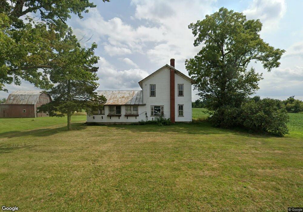
4531 E Territorial Rd Camden, MI 49232
Estimated Value: $270,000 - $358,000
3
Beds
1
Bath
1,040
Sq Ft
$304/Sq Ft
Est. Value
About This Home
This home is located at 4531 E Territorial Rd, Camden, MI 49232 and is currently estimated at $316,454, approximately $304 per square foot. 4531 E Territorial Rd is a home with nearby schools including Waldron High School and Waldron Elementary School.
Ownership History
Date
Name
Owned For
Owner Type
Purchase Details
Closed on
Dec 5, 2024
Sold by
Lautermilch Richard A and Lautermilch Ila M
Bought by
Richard A & Ila M Lautermilch Family Irrevoca and Lautermilch
Current Estimated Value
Purchase Details
Closed on
Nov 5, 2019
Sold by
Lautermilch Richard A and Lautermilch Ila M
Bought by
Lautermilch Richard A and Lautermilch Ila M
Purchase Details
Closed on
Apr 5, 2002
Sold by
Lautermilch Ralph and Lautermilch Rosella
Bought by
Lautermilch Richard A and Lautermilch Ila M
Create a Home Valuation Report for This Property
The Home Valuation Report is an in-depth analysis detailing your home's value as well as a comparison with similar homes in the area
Home Values in the Area
Average Home Value in this Area
Purchase History
| Date | Buyer | Sale Price | Title Company |
|---|---|---|---|
| Richard A & Ila M Lautermilch Family Irrevoca | -- | None Listed On Document | |
| Richard A & Ila M Lautermilch Family Irrevoca | -- | None Listed On Document | |
| Lautermilch Richard A | -- | None Available | |
| Lautermilch Richard A | $100 | -- |
Source: Public Records
Tax History Compared to Growth
Tax History
| Year | Tax Paid | Tax Assessment Tax Assessment Total Assessment is a certain percentage of the fair market value that is determined by local assessors to be the total taxable value of land and additions on the property. | Land | Improvement |
|---|---|---|---|---|
| 2025 | $2,384 | $130,000 | $0 | $0 |
| 2024 | $890 | $116,500 | $0 | $0 |
| 2023 | $848 | $101,500 | $0 | $0 |
| 2022 | $2,276 | $92,600 | $0 | $0 |
| 2021 | $2,239 | $92,000 | $0 | $0 |
| 2020 | $2,424 | $101,000 | $0 | $0 |
| 2019 | $2,342 | $94,500 | $0 | $0 |
| 2018 | $2,246 | $84,200 | $0 | $0 |
| 2017 | $2,166 | $87,430 | $0 | $0 |
| 2016 | $2,147 | $84,670 | $0 | $0 |
| 2015 | $714 | $84,670 | $0 | $0 |
| 2013 | $692 | $73,900 | $0 | $0 |
| 2012 | $676 | $68,170 | $0 | $0 |
Source: Public Records
Map
Nearby Homes
- 14667 Roberts Ct
- 4324 Oak Glen Dr
- 4610 Wynnewood Dr
- 14621 Laura Ln
- 4002 & 4014 Meadowlawn Dr
- 14165 Crampton Rd
- 204 Lincoln St
- 301 S 3rd St
- 513 Tanglewood Ln
- V/L E Territorial Rd
- 12471 Crampton Rd
- 13151 Tripp Rd
- 16748 Us Highway 20ns
- 13551 Hillsdale Rd
- 11794 Clark Rd
- 5311 E Burt Rd
- 13791 E Diane Dr
- 13857 E Diane Dr
- 14600 W Diane Dr
- 131 Choctaw Trail
- 4613 E Territorial Rd
- 14901 Meadowvale Dr
- 14897 Meadowvale Dr
- 4651 E Territorial Rd
- 14900 Meadowvale Dr
- 4460 E Territorial Rd
- 14896 Meadowvale Dr
- 4450 E Territorial Rd
- 0 E Territorial Rd Unit 53011053445
- 2975 E Territorial Rd
- 0 E Territorial Rd Unit M19000518
- 0 E Territorial Rd Unit M22000429
- 3235 & 0 E Territorial Rd
- 0 E Territorial Rd Unit 11053445
- 0 E Territorial Rd Unit 20013687
- 0 E Territorial Rd
- 0 E Territorial Rd
- 14892 Meadowvale Dr
- 14775 E Merry Dr
- 14887 Meadowvale Dr