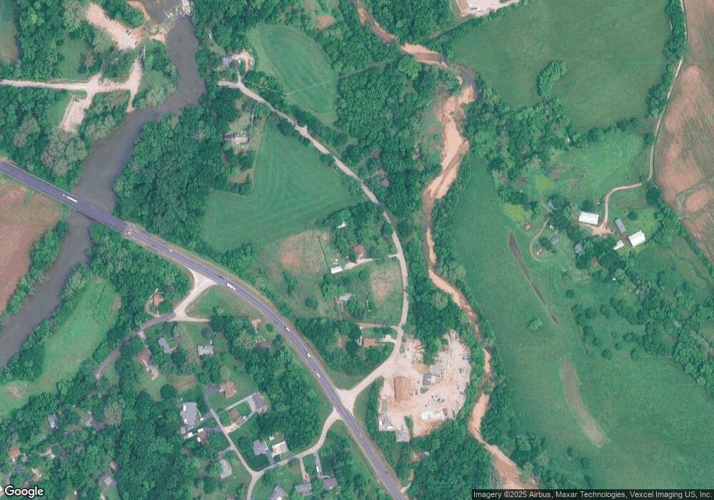
4531 Hallmark Dr Byrnes Mill, MO 63051
Estimated Value: $149,166 - $212,000
--
Bed
--
Bath
912
Sq Ft
$201/Sq Ft
Est. Value
About This Home
This home is located at 4531 Hallmark Dr, Byrnes Mill, MO 63051 and is currently estimated at $183,042, approximately $200 per square foot. 4531 Hallmark Dr is a home with nearby schools including Northwest High School and St. Anthony School.
Ownership History
Date
Name
Owned For
Owner Type
Purchase Details
Closed on
Nov 29, 2018
Sold by
Riley William L and Riley Sharon K
Bought by
Arrowhead Creek Properties Llc
Current Estimated Value
Home Financials for this Owner
Home Financials are based on the most recent Mortgage that was taken out on this home.
Original Mortgage
$101,250
Outstanding Balance
$89,029
Interest Rate
4.8%
Mortgage Type
Future Advance Clause Open End Mortgage
Estimated Equity
$94,013
Create a Home Valuation Report for This Property
The Home Valuation Report is an in-depth analysis detailing your home's value as well as a comparison with similar homes in the area
Home Values in the Area
Average Home Value in this Area
Purchase History
| Date | Buyer | Sale Price | Title Company |
|---|---|---|---|
| Arrowhead Creek Properties Llc | -- | None Available |
Source: Public Records
Mortgage History
| Date | Status | Borrower | Loan Amount |
|---|---|---|---|
| Open | Arrowhead Creek Properties Llc | $101,250 |
Source: Public Records
Tax History Compared to Growth
Tax History
| Year | Tax Paid | Tax Assessment Tax Assessment Total Assessment is a certain percentage of the fair market value that is determined by local assessors to be the total taxable value of land and additions on the property. | Land | Improvement |
|---|---|---|---|---|
| 2025 | $963 | $13,800 | $2,600 | $11,200 |
| 2024 | $963 | $13,300 | $2,600 | $10,700 |
| 2023 | $963 | $13,300 | $2,600 | $10,700 |
| 2022 | $951 | $13,300 | $2,600 | $10,700 |
| 2021 | $951 | $13,300 | $2,600 | $10,700 |
| 2020 | $903 | $12,300 | $2,400 | $9,900 |
| 2019 | $902 | $12,300 | $2,400 | $9,900 |
| 2018 | $912 | $12,300 | $2,400 | $9,900 |
| 2017 | $876 | $12,300 | $2,400 | $9,900 |
| 2016 | $757 | $10,600 | $2,400 | $8,200 |
| 2015 | $762 | $10,600 | $2,400 | $8,200 |
| 2013 | -- | $9,800 | $2,100 | $7,700 |
Source: Public Records
Map
Nearby Homes
- 4386 Cottage Grove Rd
- 00 Gravois Rd
- 4595 Indian Springs Rd
- 4636 Gravois Rd
- 3928 Southridge Trail
- 0 Trails End Trail Tract 2
- 0 Trails End Trail Tract 1
- 4670 Trails End Trail
- 4553 Trails End Trail
- 0 Wedgewood Dr
- 4811 Wedgewood Dr
- 0000 Oakcrest Dr
- 3605 Silverstone Trails Dr
- 302 Anthony Cir
- 209 Red Fox Ct
- 210 Red Fox Ct
- 205 Red Fox Ct
- 206 Red Fox Ct
- 2 Aspen II at Fox Run
- 2 Aspen at Fox Run
- 6891 Burgan Grove Rd
- 4551 Hallmark Dr
- 4490 Hallmark Dr
- 0 Burgan Grove - Land Parcel Unit 15061172
- 2 Rd
- 0 Burgan Grove - Land Parcel Unit 17025483
- 2Lots Burgan Grove Rd
- 6910 Burgan Grove Rd
- 0 Highway W Unit 17067162
- 0 Highway W Unit 90039710
- 0 Highway W Unit 17049623
- 4358 Washington Dr
- 6930 Burgan Grove Rd
- 4360 Washington Dr
- 6881 Burgan Grove Rd
- 6950 Burgan Grove Rd
- 4588 Highway W
- 4588 State Rd W
- 4341 Arlow Dr
