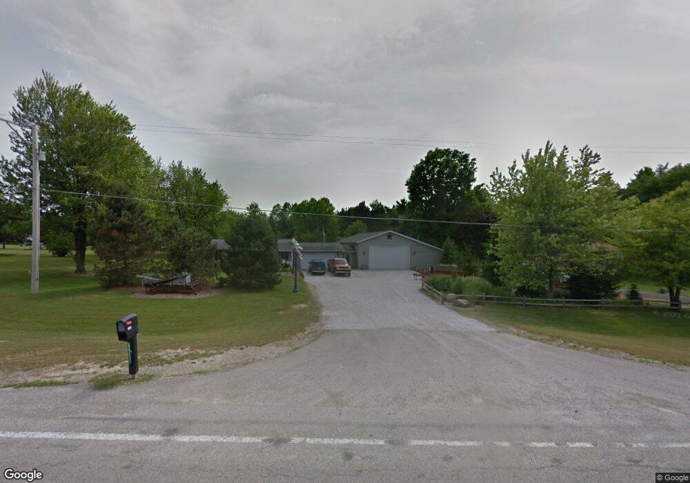
4531 State Route 181 Mansfield, OH 44903
Estimated Value: $236,000 - $250,000
2
Beds
2
Baths
1,520
Sq Ft
$162/Sq Ft
Est. Value
About This Home
This home is located at 4531 State Route 181, Mansfield, OH 44903 and is currently estimated at $246,467, approximately $162 per square foot. 4531 State Route 181 is a home located in Richland County with nearby schools including Stingel Elementary School, Ontario Middle School, and Ontario High School.
Ownership History
Date
Name
Owned For
Owner Type
Purchase Details
Closed on
Aug 10, 2010
Sold by
Shook Tammi D and Shook Tammy D
Bought by
Shook Brian L
Current Estimated Value
Purchase Details
Closed on
Oct 2, 1995
Sold by
Fraley Deborah
Bought by
Shook Brian L and Shook Tammy D
Home Financials for this Owner
Home Financials are based on the most recent Mortgage that was taken out on this home.
Original Mortgage
$74,100
Outstanding Balance
$540
Interest Rate
8%
Mortgage Type
New Conventional
Estimated Equity
$245,927
Purchase Details
Closed on
Oct 5, 1993
Sold by
Fraley Gregory L
Bought by
Fraley Deborah J
Create a Home Valuation Report for This Property
The Home Valuation Report is an in-depth analysis detailing your home's value as well as a comparison with similar homes in the area
Home Values in the Area
Average Home Value in this Area
Purchase History
| Date | Buyer | Sale Price | Title Company |
|---|---|---|---|
| Shook Brian L | -- | None Available | |
| Shook Brian L | $78,000 | -- | |
| Fraley Deborah J | -- | -- |
Source: Public Records
Mortgage History
| Date | Status | Borrower | Loan Amount |
|---|---|---|---|
| Open | Shook Brian L | $74,100 |
Source: Public Records
Tax History Compared to Growth
Tax History
| Year | Tax Paid | Tax Assessment Tax Assessment Total Assessment is a certain percentage of the fair market value that is determined by local assessors to be the total taxable value of land and additions on the property. | Land | Improvement |
|---|---|---|---|---|
| 2024 | $3,267 | $65,550 | $8,320 | $57,230 |
| 2023 | $3,267 | $65,550 | $8,320 | $57,230 |
| 2022 | $2,962 | $51,140 | $7,560 | $43,580 |
| 2021 | $2,967 | $51,140 | $7,560 | $43,580 |
| 2020 | $3,167 | $51,140 | $7,560 | $43,580 |
| 2019 | $2,966 | $43,350 | $6,410 | $36,940 |
| 2018 | $2,518 | $43,350 | $6,410 | $36,940 |
| 2017 | $2,537 | $43,350 | $6,410 | $36,940 |
| 2016 | $2,595 | $45,120 | $6,220 | $38,900 |
| 2015 | $2,595 | $45,120 | $6,220 | $38,900 |
| 2014 | $2,597 | $45,120 | $6,220 | $38,900 |
| 2012 | $2,435 | $46,520 | $6,410 | $40,110 |
Source: Public Records
Map
Nearby Homes
- 4825 Lincoln Hwy
- 832 State Route 314 N
- 3880 Horizon Dr
- 0 Alexander Dr
- 0 Rudy Rd
- 56 Lexington Ontario Rd
- 5263 Lincoln Hwy
- 3541 Oakstone Dr
- 4451 Beam Rd
- 3436 Ridgestone Ct
- 5380 Lincoln Hwy
- 445 Rudy Rd
- 5446 Lincoln Hwy
- 5450 Lincoln Hwy
- 3516 Muirfield
- 3516 Muirfield Dr
- 3320 Oakstone Dr
- 4663 Millsboro Rd W
- 3308 Park Ave W
- 1671 State Route 314 N
- 4543 State Route 181
- 4493 State Route 181
- 4540 Park Ave W
- 4565 State Route 181
- 4502 Park Ave W
- 4429 State Route 181
- 4430 State Route 181
- 4515 Park Ave W
- 4535 Park Ave W
- 4503 Park Ave W
- 4495 Park Ave W
- 4420 State Route 181
- 4566 Park Ave W
- 4565 Park Ave W
- 455 All American Dr
- 495 All American Dr
- 4483 Park Ave W
- 4588 Park Ave W
- 475 All American Dr
- 4555 Park Ave W