45312 Shore Dr Decatur, MI 49045
Estimated Value: $394,000 - $427,000
3
Beds
1
Bath
1,418
Sq Ft
$286/Sq Ft
Est. Value
About This Home
This home is located at 45312 Shore Dr, Decatur, MI 49045 and is currently estimated at $405,458, approximately $285 per square foot. 45312 Shore Dr is a home located in Van Buren County with nearby schools including Davis Elementary School, Decatur Jr./Sr. High School, and Decatur Middle School.
Ownership History
Date
Name
Owned For
Owner Type
Purchase Details
Closed on
Dec 20, 2024
Sold by
Kogler Family Trust
Bought by
Maurer Timothy and Maurer Terese
Current Estimated Value
Home Financials for this Owner
Home Financials are based on the most recent Mortgage that was taken out on this home.
Original Mortgage
$342,000
Outstanding Balance
$339,351
Interest Rate
6.87%
Mortgage Type
New Conventional
Estimated Equity
$66,107
Purchase Details
Closed on
Apr 30, 2018
Sold by
Kogler Mary Ann and Kogler Fred E
Bought by
Kogler Fred E and Kogler Mary Ann
Create a Home Valuation Report for This Property
The Home Valuation Report is an in-depth analysis detailing your home's value as well as a comparison with similar homes in the area
Home Values in the Area
Average Home Value in this Area
Purchase History
| Date | Buyer | Sale Price | Title Company |
|---|---|---|---|
| Maurer Timothy | $380,000 | Meridian Title | |
| Maurer Timothy | $380,000 | Meridian Title | |
| Kogler Fred E | -- | None Available |
Source: Public Records
Mortgage History
| Date | Status | Borrower | Loan Amount |
|---|---|---|---|
| Open | Maurer Timothy | $342,000 | |
| Closed | Maurer Timothy | $342,000 |
Source: Public Records
Tax History Compared to Growth
Tax History
| Year | Tax Paid | Tax Assessment Tax Assessment Total Assessment is a certain percentage of the fair market value that is determined by local assessors to be the total taxable value of land and additions on the property. | Land | Improvement |
|---|---|---|---|---|
| 2025 | $498 | $139,800 | $0 | $0 |
| 2024 | $498 | $140,200 | $0 | $0 |
| 2023 | $474 | $92,500 | $0 | $0 |
| 2022 | $2,454 | $69,700 | $0 | $0 |
| 2021 | $2,192 | $74,100 | $22,000 | $52,100 |
| 2020 | $2,222 | $74,500 | $22,000 | $52,500 |
| 2019 | $2,142 | $70,200 | $70,200 | $0 |
| 2018 | $2,102 | $75,400 | $75,400 | $0 |
| 2017 | $2,059 | $54,800 | $0 | $0 |
| 2016 | $2,021 | $53,100 | $0 | $0 |
| 2015 | $1,120 | $53,100 | $0 | $0 |
| 2014 | $1,100 | $49,900 | $0 | $0 |
| 2013 | -- | $51,800 | $51,800 | $0 |
Source: Public Records
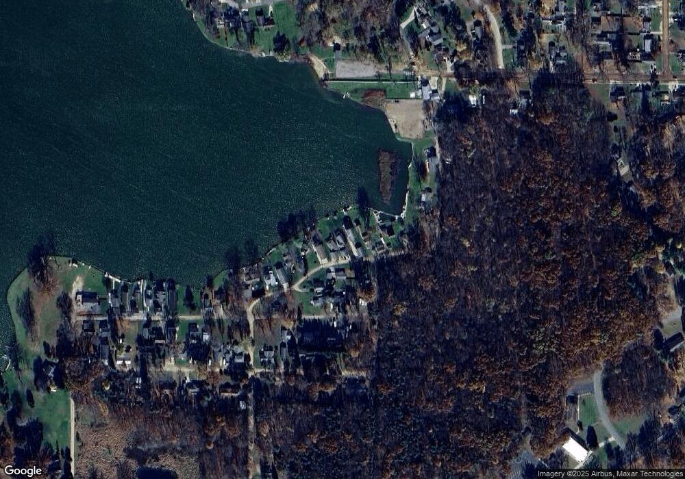
Map
Nearby Homes
- 45523 Eleanor Dr
- 311 Pine St
- 46132 86th Ave
- 304 W Edgar Bergen Blvd
- 208 W Saint Marys St
- TBD Greenbriar Terrace
- 202 W Saint Marys St
- 00 Lakeview Dr
- 125 E Delaware St
- 0 E Beers St
- 310 E Edgar Bergen Blvd
- 310 Rogers St
- 88080 Old Swamp Rd
- 81480 42nd St
- 80660 42nd St
- 77199 M-51
- 0 70th Ave
- 0 Palmer Dr
- 43834 Eagle Lake Dr
- 73541 39th St