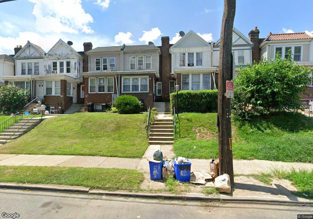
4532 Cottman Ave Philadelphia, PA 19135
Tacony NeighborhoodEstimated Value: $191,000 - $235,000
3
Beds
2
Baths
1,600
Sq Ft
$138/Sq Ft
Est. Value
About This Home
This home is located at 4532 Cottman Ave, Philadelphia, PA 19135 and is currently estimated at $220,041, approximately $137 per square foot. 4532 Cottman Ave is a home located in Philadelphia County with nearby schools including Edwin Forrest Elementary School, Lincoln High School, and Meehan Austin Middle School.
Ownership History
Date
Name
Owned For
Owner Type
Purchase Details
Closed on
Nov 29, 2007
Sold by
Henwood Theresa C
Bought by
Hayes Zoe
Current Estimated Value
Home Financials for this Owner
Home Financials are based on the most recent Mortgage that was taken out on this home.
Original Mortgage
$104,139
Outstanding Balance
$65,317
Interest Rate
6.3%
Mortgage Type
FHA
Estimated Equity
$154,724
Create a Home Valuation Report for This Property
The Home Valuation Report is an in-depth analysis detailing your home's value as well as a comparison with similar homes in the area
Home Values in the Area
Average Home Value in this Area
Purchase History
| Date | Buyer | Sale Price | Title Company |
|---|---|---|---|
| Hayes Zoe | $105,000 | None Available |
Source: Public Records
Mortgage History
| Date | Status | Borrower | Loan Amount |
|---|---|---|---|
| Open | Hayes Zoe | $104,139 |
Source: Public Records
Tax History Compared to Growth
Tax History
| Year | Tax Paid | Tax Assessment Tax Assessment Total Assessment is a certain percentage of the fair market value that is determined by local assessors to be the total taxable value of land and additions on the property. | Land | Improvement |
|---|---|---|---|---|
| 2026 | $2,333 | $198,100 | $39,620 | $158,480 |
| 2025 | $2,333 | $198,100 | $39,620 | $158,480 |
| 2024 | $2,333 | $198,100 | $39,620 | $158,480 |
| 2023 | $2,333 | $166,700 | $33,340 | $133,360 |
| 2022 | $1,954 | $166,700 | $33,340 | $133,360 |
| 2021 | $1,954 | $0 | $0 | $0 |
| 2020 | $1,954 | $0 | $0 | $0 |
| 2019 | $1,876 | $0 | $0 | $0 |
| 2018 | $1,772 | $0 | $0 | $0 |
| 2017 | $1,772 | $0 | $0 | $0 |
| 2016 | $1,772 | $0 | $0 | $0 |
| 2015 | $1,696 | $0 | $0 | $0 |
| 2014 | -- | $126,600 | $19,033 | $107,567 |
| 2012 | -- | $14,816 | $1,740 | $13,076 |
Source: Public Records
Map
Nearby Homes
- 7243 Glenloch St
- 7208 Glenloch St
- 4426 Cottman Ave
- 7233 Marsden St Unit 1
- 7200 Jackson St
- 7153 Jackson St
- 7177 Gillespie St
- 7143 Jackson St
- 7178 Gillespie St
- 4528 Tudor St
- 4525 Tudor St
- 7210 Algard St
- 4329 Teesdale St
- 4615 Princeton Ave
- 4621 Princeton Ave
- 4603 Bleigh Ave
- 4633 Princeton Ave
- 4411 Bleigh Ave
- 7232 Walker St
- 4507 Loring St
- 4530 Cottman Ave
- 4534 Cottman Ave
- 4528 Cottman Ave
- 4536 Cottman Ave
- 4538 Cottman Ave
- 4526 Cottman Ave
- 4524 Cottman Ave
- 4540 Cottman Ave
- 7242 Ditman St
- 7241 Glenloch St
- 4522 Cottman Ave
- 4542 Cottman Ave
- 7239 Glenloch St
- 7240 Ditman St
- 7237 Glenloch St
- 7238 Ditman St
- 7235 Glenloch St
- 7236 Ditman St
- 7234 Ditman St
- 7233 Glenloch St