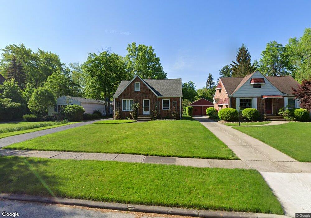
4532 Emerson Rd Cleveland, OH 44121
Estimated Value: $146,000 - $176,000
3
Beds
2
Baths
1,230
Sq Ft
$128/Sq Ft
Est. Value
About This Home
This home is located at 4532 Emerson Rd, Cleveland, OH 44121 and is currently estimated at $157,022, approximately $127 per square foot. 4532 Emerson Rd is a home located in Cuyahoga County with nearby schools including Adrian Elementary School, Greenview Upper Elementary School, and Memorial Junior High School.
Ownership History
Date
Name
Owned For
Owner Type
Purchase Details
Closed on
Sep 18, 2002
Sold by
Jeffries Ann Marie
Bought by
Turoczy Lenny and Turoczy Leonard A
Current Estimated Value
Home Financials for this Owner
Home Financials are based on the most recent Mortgage that was taken out on this home.
Original Mortgage
$94,000
Outstanding Balance
$37,601
Interest Rate
6.32%
Estimated Equity
$119,421
Purchase Details
Closed on
Dec 2, 1987
Sold by
Podgurski Walter A
Bought by
Jeffries Ann Marie
Purchase Details
Closed on
Apr 27, 1979
Sold by
Sillitoe Betty Jane
Bought by
Podgurski Walter A
Purchase Details
Closed on
Dec 8, 1976
Sold by
Frankino Frank and Frankino Julia
Bought by
Sillitoe Betty Jane
Purchase Details
Closed on
Jan 1, 1975
Bought by
Frankino Frank and Frankino Julia
Create a Home Valuation Report for This Property
The Home Valuation Report is an in-depth analysis detailing your home's value as well as a comparison with similar homes in the area
Home Values in the Area
Average Home Value in this Area
Purchase History
| Date | Buyer | Sale Price | Title Company |
|---|---|---|---|
| Turoczy Lenny | $97,000 | Midland Title Security Inc | |
| Jeffries Ann Marie | $60,000 | -- | |
| Podgurski Walter A | $42,500 | -- | |
| Sillitoe Betty Jane | $39,900 | -- | |
| Frankino Frank | -- | -- |
Source: Public Records
Mortgage History
| Date | Status | Borrower | Loan Amount |
|---|---|---|---|
| Open | Turoczy Lenny | $94,000 |
Source: Public Records
Tax History
| Year | Tax Paid | Tax Assessment Tax Assessment Total Assessment is a certain percentage of the fair market value that is determined by local assessors to be the total taxable value of land and additions on the property. | Land | Improvement |
|---|---|---|---|---|
| 2025 | $4,080 | $47,740 | $11,095 | $36,645 |
| 2024 | $3,708 | $47,740 | $11,095 | $36,645 |
| 2023 | $3,422 | $35,600 | $8,400 | $27,200 |
| 2022 | $3,404 | $35,595 | $8,400 | $27,195 |
| 2021 | $3,378 | $35,600 | $8,400 | $27,200 |
| 2020 | $3,338 | $30,700 | $7,250 | $23,450 |
| 2019 | $3,051 | $87,700 | $20,700 | $67,000 |
| 2018 | $3,036 | $30,700 | $7,250 | $23,450 |
| 2017 | $3,087 | $28,670 | $6,900 | $21,770 |
| 2016 | $3,068 | $28,670 | $6,900 | $21,770 |
| 2015 | $2,977 | $28,670 | $6,900 | $21,770 |
| 2014 | $2,977 | $28,670 | $6,900 | $21,770 |
Source: Public Records
Map
Nearby Homes
- 4533 E Berwald Rd
- 4586 E Berwald Rd
- 4577 Emerson Rd
- 4521 Telhurst Rd
- 4410 Lucille Ave
- 4633 Whitehall Dr
- 4614 Telhurst Rd
- 4693 Liberty Rd
- 4388 Adrian Rd
- 1381 S Green Rd
- 4776 Burger Rd
- 4345 W Anderson Rd
- 1393 Dorsh Rd
- 4809 Westbourne Rd
- 1114 Homestead Rd
- 1268 Homestead Rd
- 1098 Homestead Rd
- 4263 W Anderson Rd
- 1503 Oakmount Rd
- 4855 Edsal Dr
- 4534 Emerson Rd
- 4530 Emerson Rd
- 4542 Emerson Rd
- 4522 Emerson Rd
- 4518 Emerson Rd
- 4548 Emerson Rd
- 4554 Emerson Rd
- 4512 Emerson Rd
- 4527 E Berwald Rd
- 4543 E Berwald Rd
- 4523 E Berwald Rd
- 4531 Emerson Rd
- 4525 Emerson Rd
- 4537 Emerson Rd
- 4560 Emerson Rd
- 4549 E Berwald Rd
- 4506 Emerson Rd
- 4517 E Berwald Rd
- 4521 Emerson Rd
- 4539 Emerson Rd
Your Personal Tour Guide
Ask me questions while you tour the home.